Attraction
Hakpo Coast (학포해안 (울릉도, 독도 국가지질공원))
166-29 Hakpo-gil, Seo-myeon, Ulleung-gun, Gyeongsangbuk-do
Overview
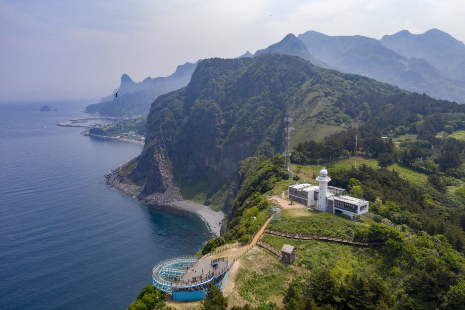
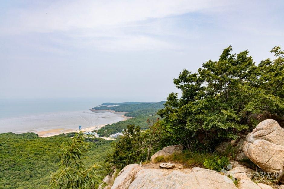
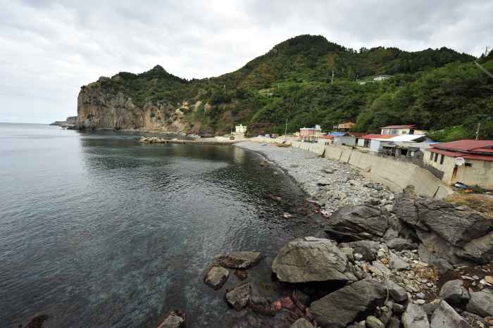
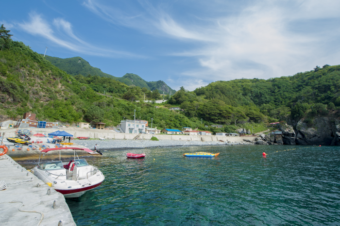
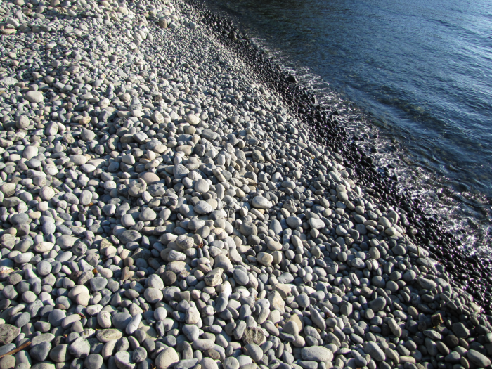
Hakpo is known for its beautiful coast as well as the remains that record the frontier history of Ulleungdo Island. There are agglomerate, tuff, and trachyte layers along the Hakpo Coast. The relatively hard trachyte layer that cannot be eroded by waves and remains has formed a cape (a large piece of land sticking out into the sea), while the agglomerate and tuff layers, which are subject to weathering and erosion, have formed a bay. Additionally, sea cliffs are found along the coast. As the lower part of the vertical columnar joints erodes, the upper part of the cliff collapses due to gravity, creating a steep cliff as the process is repeated. Visitors can also enjoy the atmosphere of Hakpo at the nearby Hakpo Campground.
Photos

Map
166-29 Hakpo-gil, Seo-myeon, Ulleung-gun, Gyeongsangbuk-do