Attraction
Buryeonggyegok Valley [National Geopark] (불영계곡 (경북 동해안 국가지질공원))
2758 Buryeonggyegok-ro, Uljin-gun, Gyeongsangbuk-do
Overview
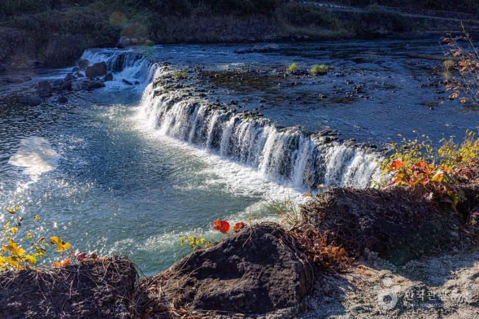
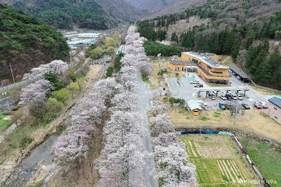
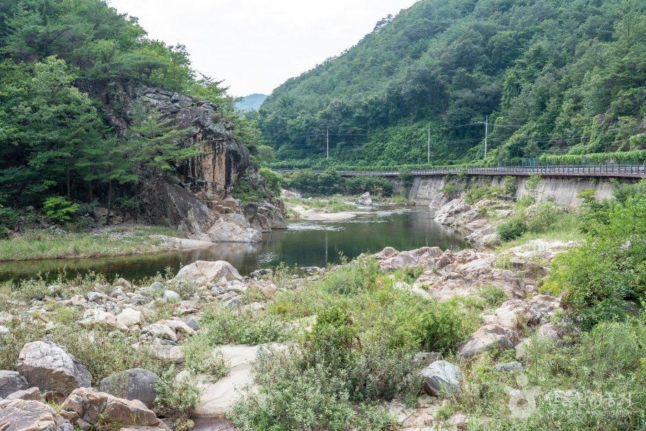
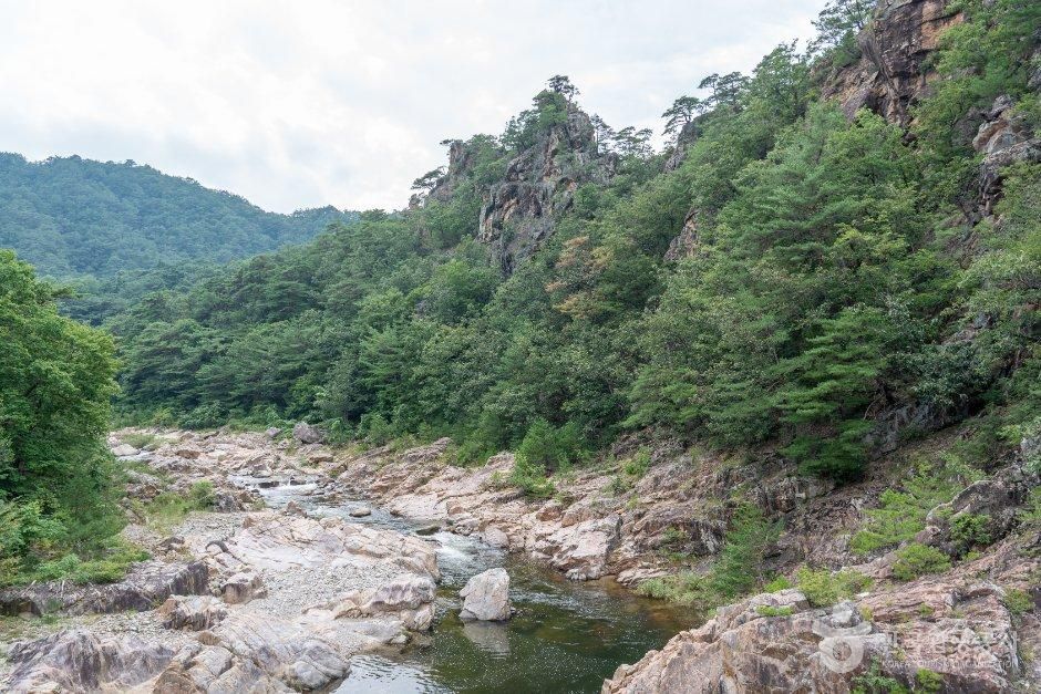
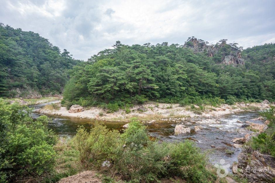
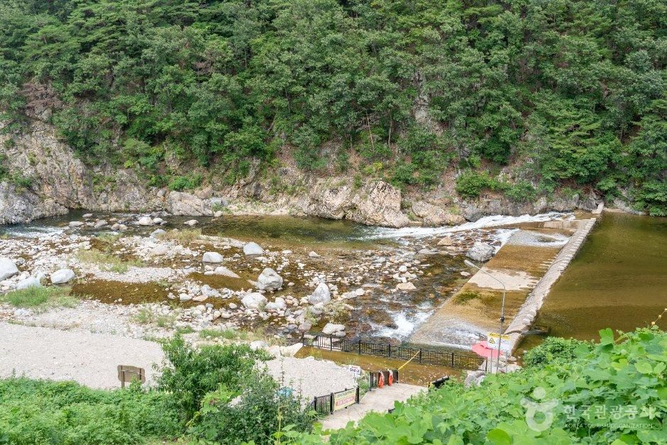
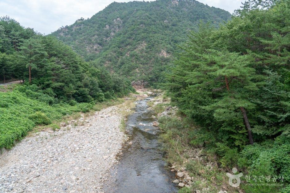
Buryeonggyegok Valley is a 15-kilometer-long valley filled with curves and uniquely shaped rock formations with names like Buddha Rock and Love Rock. With its clear, shallow water and slow-flowing current, the valley is a popular destination for families on vacation, and the city deploys safety personnel during the peak summer season. Nearby facilities for camping and glamping make it an excellent place to enjoy a summer holiday. The valley is composed of gneiss formed 2 billion years ago. Gneiss is a rock that has been deformed by extremely high heat and pressure deep underground; the exposure of this gneiss is due to the valley water flowing into the East Sea eroding the rocks on top of the gneiss over a long period of time. The gneiss here has well-preserved traces of geological processes formed over a long period of time, so it was designated as a National Geopark by the Ministry of Environment in 2017.
Photos
Map
2758 Buryeonggyegok-ro, Uljin-gun, Gyeongsangbuk-do