![Bongnaepokpo Falls [Ullengdo & Dokdo National Geopark] (봉래폭포 (울릉도, 독도 국가지질공원))](https://tong.visitkorea.or.kr/cms/resource/28/1893628_image2_1.jpg)
Attraction
Bongnaepokpo Falls [Ullengdo & Dokdo National Geopark] (봉래폭포 (울릉도, 독도 국가지질공원))
Dodong-ri, Ulleung-eup, Ulleung-gun, Gyeongsangbuk-do
Overview
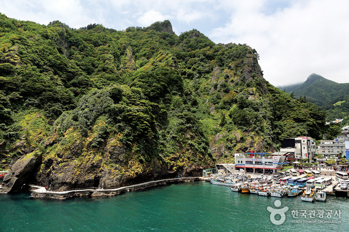
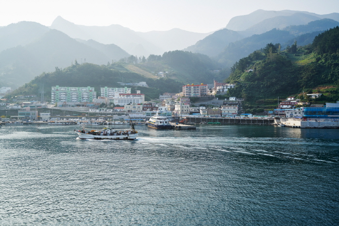
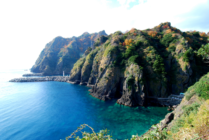
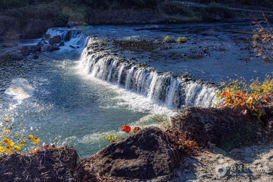
Nestled within the picturesque mountains of eastern Ulleungdo Island, Bongnaepokpo Falls stands as a majestic 30-meter high waterfall. Its formation traces back to the cooling of rocks following a volcanic eruption. This lush region is richly wooded, offering a delightful opportunity for a forest bathing during your hike. Moreover, the deck situated just beneath the waterfall serves as an ideal spot for capturing stunning photographs. Even in the heat of summer, the area remains pleasantly cool, thanks to the gentle breeze that naturally flows through the openings.
Photos
Map
Dodong-ri, Ulleung-eup, Ulleung-gun, Gyeongsangbuk-do
![Bongnaepokpo Falls [Ullengdo & Dokdo National Geopark] (봉래폭포 (울릉도, 독도 국가지질공원))](https://tong.visitkorea.or.kr/cms/resource/24/1893624_image3_1.jpg)
![Bongnaepokpo Falls [Ullengdo & Dokdo National Geopark] (봉래폭포 (울릉도, 독도 국가지질공원))](https://tong.visitkorea.or.kr/cms/resource/25/1893625_image3_1.jpg)
![Bongnaepokpo Falls [Ullengdo & Dokdo National Geopark] (봉래폭포 (울릉도, 독도 국가지질공원))](https://tong.visitkorea.or.kr/cms/resource/26/1893626_image3_1.jpg)
![Bongnaepokpo Falls [Ullengdo & Dokdo National Geopark] (봉래폭포 (울릉도, 독도 국가지질공원))](https://tong.visitkorea.or.kr/cms/resource/27/1893627_image3_1.jpg)


![Jiktangpokpo Falls [National Geopark] (직탕폭포 (한탄강 국가지질공원))](https://tong.visitkorea.or.kr/cms/resource/28/4121328_image2_1.jpg)


![Buryeonggyegok Valley [National Geopark] (불영계곡 (경북 동해안 국가지질공원))](https://tong.visitkorea.or.kr/cms/resource/62/4124962_image2_1.jpg)