
Yongmunsan 1,157m
Mijisan, Reborn with the Founding of Joseon
Moderate Hard Autumn foliage Snow scenery Public transport

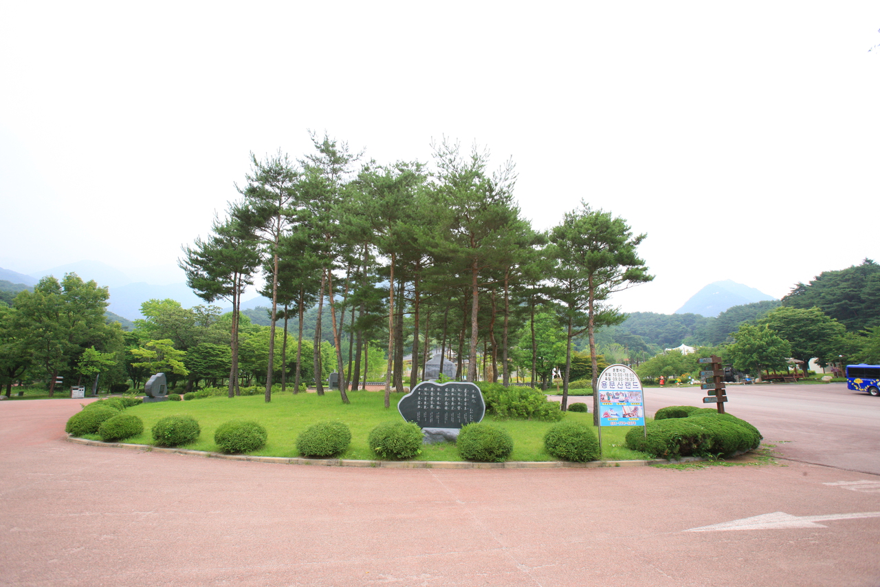
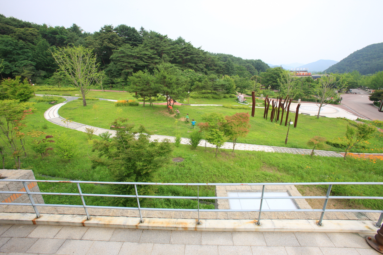
- Location
- Yongmun-myeon and Okcheon-myeon, Yangpyeong-gun, Gyeonggi-do
- Courses
- 5 · 4 h 5 min – 5 h 35 min
- Distance
- 8.2 km – 11.5 km
- Facilities
- Toilets 13 · Parking 11
- Managed by
- Yangpyeong County Office · 031-773-5101
Trail map
Why it is one of the 100 famous mountains
Celebrated historically as the Geumgangsan of Gyeonggi, it features striking rock formations and towering ridges. It holds high historical and cultural value, home to Yongmunsa Temple, founded during Queen Seondeok's reign in the Silla Dynasty, and an ancient ginkgo tree (Natural Monument No. 30) reaching 62 m in height and 14 m in circumference. As the fourth-tallest mountain in Gyeonggi-do, it was originally called Mijisan until King Taejo of Joseon ascended the throne and renamed it Yongmunsan.
About Yongmunsan
Yongmunsan is a prominent mountain seen when traveling from the Seoul metropolitan area toward Seoraksan. Along National Route 44, there are higher peaks, but because the road winds through valleys, their full scale is often hidden. In contrast, Yongmunsan stands like a folding screen at the northern end of Yongmun-myeon, clearly displaying its majestic presence.
The main peak itself has a rounded, massive, and solemn shape. On the other hand, Baegunbong Peak on the southern ridge rises sharply like a triangular cone, leaving a lasting impression. In the early morning hours of autumn or winter, its view above the rising water mist is remarkably serene.
While the southern face is steep and rocky, the northern slope forms a gentle, soil-rich terrain covered in wild blossoms. In early spring, dogtooth violets bloom, followed by yellow woodland poppies in May, creating quiet flower fields that make up for the summit being restricted due to government facilities.
In autumn, the ancient ginkgo tree at Yongmunsa Temple is a major highlight—a genuinely ancient tree standing the test of time.
Yongmunsan is the fourth-highest mountain in Gyeonggi-do, featuring both steep crags and soaring ridges. Originally called Mijisan, legend says it was renamed Yongmunsan after King Taejo founded the Joseon Dynasty.
Because the summit is restricted, hikers take detours around it. In front of Yongmunsa Temple, founded during the reign of Queen Seondeok of Silla, stands a 62-meter-tall ginkgo tree with a circumference of 14 meters (Natural Monument No. 30).
Courses recommended by the Korea Forest Service
- Yongmunsa Temple → Jeolgogae → Sangwonsa Temple → 1064 Peak → Gureumjae → Baegunbong Peak → Yeon-an Village 4 h 40 min
- Yongmunsa Temple → Jungwonsan → Danwolbong Peak → Munryebong Peak → Munryejae → Yongmunsa Temple 7 h 25 min
Public transport
Buses for Yongmunsa Temple run twice daily from East Seoul Bus Terminal and Sangbong Bus Terminal.
For the Gail-ri direction, take the bus toward Yumyeonsan (runs 8 times daily from Sangbong Bus Terminal).
Food, lodging & more (Korea Forest Service data, may change)
● Lodging and Facilities
Recently, Yongmunsan Natural Recreation Forest, directly managed by Yangpyeong-gun, opened below Satgatbong Peak in Baegan-ri, Yangpyeong-eup. It features log cabins, campsites, hiking trails, and walking paths.
Reservation inquiries: Forestry Division ☎031-775-4005
● General Inquiries
Yangpyeong-gun Culture and Tourism Division ☎031-770-2710
Nearby attractions
- Yongmunsa Temple (용문사(용문산)) 2.3 km from the summit
-
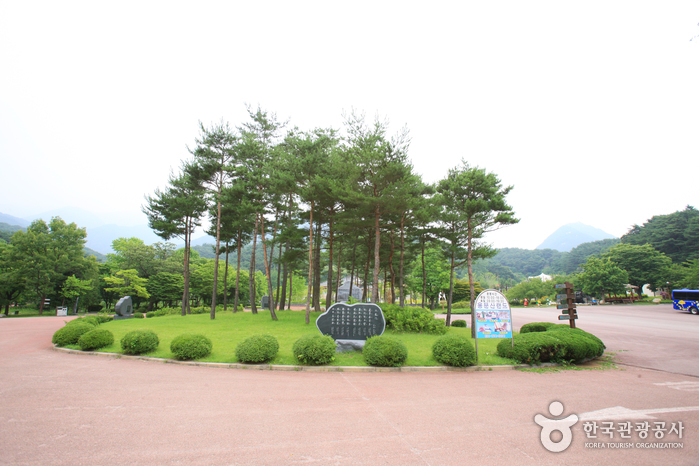 Yongmunsan Resort (용문산 관광지)
3.2 km from the summit
- Saneum National Recreational Forest (국립 산음자연휴양림) 4.4 km from the summit
-
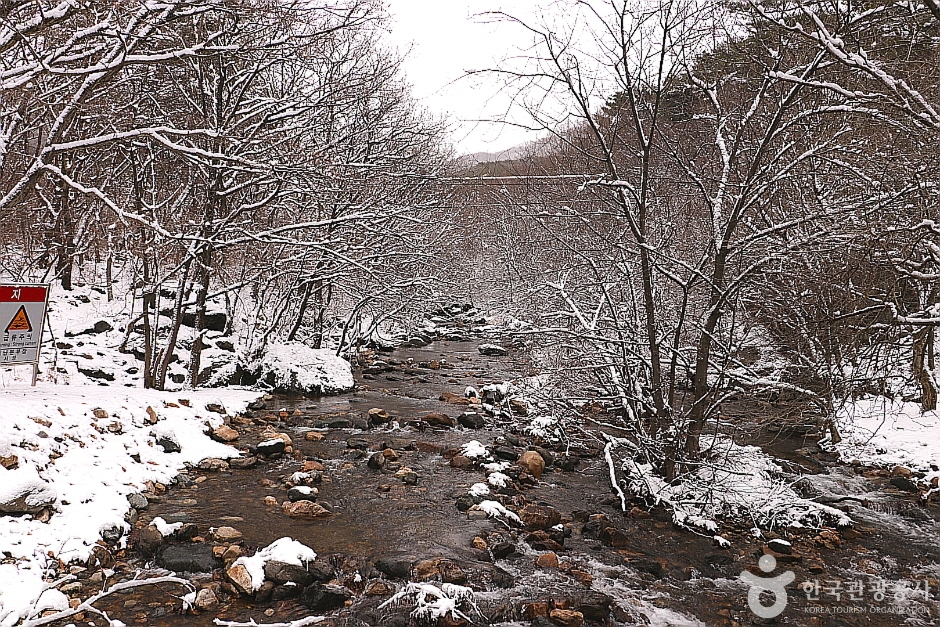 Sanasagyegok Valley (사나사계곡)
4.7 km from the summit
-
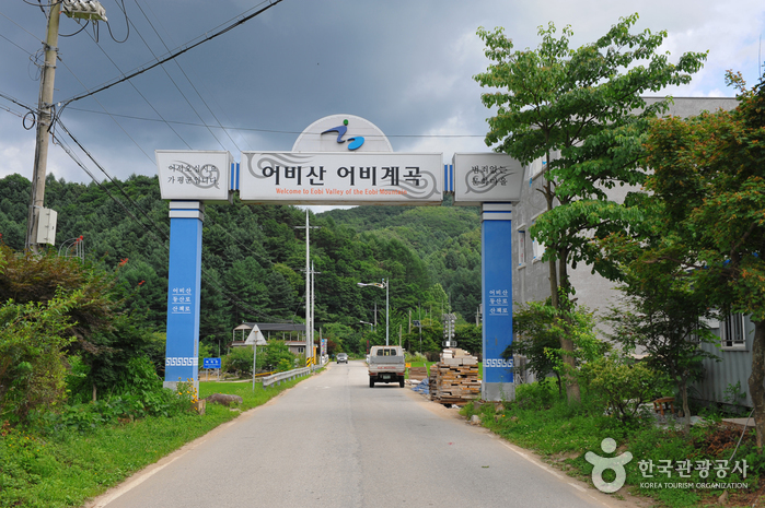 Eobigyegok Valley (어비계곡)
6.4 km from the summit
-
 Jungmisan Recreational Forest (중미산자연휴양림)
8.5 km from the summit
Times and difficulty are estimates from GPS tracks. Before you go, check the weather, sunset time and any trail closures. Course tracks recorded: 2022-01-06
Text on this page was translated automatically from Korean public data. Place names follow the Revised Romanization; signs on the trail are in Korean.
Data: Korea Forest Service and Korea Hiking & Trekking Support Center (Public Data Portal). Course times and difficulty are estimates from GPS tracks (2022).