
Juwangsan 722m
Hiding Place of King Ju of Later Zhou
Moderate Valleys Public transport


- Location
- Budong-myeon and Cheongsong-eup, Cheongsong-gun; Jipum-myeon and Dalsan-myeon, Yeongdeok-gun, Gyeongsangbuk-do
- Courses
- 1 · 2 h 50 min – 2 h 50 min
- Distance
- 5.8 km – 5.8 km
- Facilities
- Toilets 3 · Parking 2
- Managed by
- Cheongsong-gun Office · 1577-7997
Trail map
Why it is one of the 100 famous mountains
Selected for its breathtaking scenery of bizarre rock peaks and vertical stone walls arranged like a folding screen, earning it the alternate name Seokbyeongsan, and for its designation as a National Park in 1976. It is home to Daejeonsa Temple and Juwangam Hermitage, and the remnants of Jahaseong Fortress around Juwanggul Cave are famous for legends of the battle between King Juwang and the Goryeo army.
About Juwangsan
A secluded paradise that seemed unreachable without the ability to fly. Rushing torrents pour through the entrance of the gorge, flanked by dizzyingly steep cliffs on both sides—a landscape straight out of a martial arts epic. Yet such a mountain exists on this land.
Had the cliff faces around the 1st Waterfall not been carved to make a path in the 1970s, Juwangdongcheon might still remain untouched. While people could have crossed over the saddles near Geumeungwang or Gamebong Peak, none could have entered through the front gateway unless a severe drought dried up Juwang Valley entirely.
Hence, all legend-steeped scenic spots are clustered below the gorge's entrance. Discovered after the era of legends had passed, the waterfalls are simply named 1st, 2nd, and 3rd Waterfalls. Furthermore, Peak 721 is still treated as the mountain's representative summit over the 907-meter peak at the head of the valley, simply because it was the highest peak reachable by those who could not enter the inner gorge.
The same goes for the legend connecting this place to the King of Zhou. Silla history clearly records King Juwon (Kim Ju-won), the prime heir to the throne who never became king, whose discontented son Kim Heon-chang led a devastating rebellion; yet the tales were strangely overwritten with stories of the distant Later Zhou dynasty, which fell over a millennium ago.
Juwangsan National Park is famous for its magnificent cliffs and rock formations unfolding like a folding screen.
Courses recommended by the Korea Forest Service
- Daejeonsa Temple → 1st Waterfall → 3rd Waterfall → Geumeungwang-igyo Bridge → Geumeungwangi Intersection → Wolmigi → Janggunbong Peak → Daejeonsa Temple 3 h 45 min
- Daejeonsa Temple → 1st Waterfall → 3rd Waterfall → Naewon-dong → Gamebong Peak → Jeolgol Intersection → Sachanggol → 2nd Waterfall → Daejeonsa Temple 5 h
Public transport
Direct intercity buses run 5 times daily from East Seoul Bus Terminal, Busan Central Bus Terminal, and Andong Intercity Bus Terminal. Buses toward Cheongsong also operate from Daegu every 40 minutes.
Food, lodging & more (Korea Forest Service data, may change)
● Lodging and Other Information
Numerous accommodations are available in Cheongsong-eup.
Juwangsan Hot Spring Tourist Hotel ☎ 054-874-7000
Juwangsan Garden Motel ☎ 054-874-4992
Nadeuri Hwangto Bungalow ☎ 054-874-5200
Sang-ui Campsite at the entrance of Daejeonsa Temple is also an option.
Park Management Office ☎ 054-873-0015
● Inquiries
Juwangsan National Park Office ☎ 054-873-0015
Nearby attractions
-
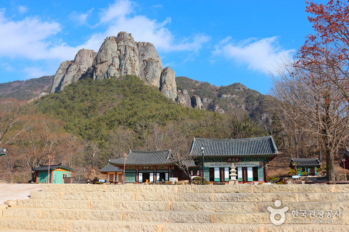 Daejeonsa Temple (대전사)
1.7 km from the summit
- Three Falls of Juwangsan Mountain (주왕산 1.2.3 폭포) 1.8 km from the summit
- Juwangsan National Park (주왕산국립공원) 1.9 km from the summit
- Jeolgolgyegok Valley [National Geopark] (절골협곡 (청송 국가지질공원)) 3.6 km from the summit
-
 Jusanji Pond [National Geopark] (주산지 (청송 국가지질공원))
3.8 km from the summit
-
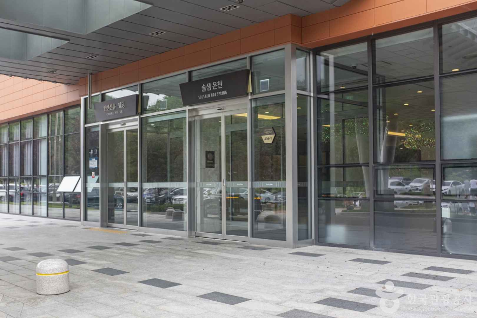 Sono Belle Cheongsong Solsaem Hot Spring (소노벨 청송 솔샘온천)
4.8 km from the summit
Times and difficulty are estimates from GPS tracks. Before you go, check the weather, sunset time and any trail closures. Course tracks recorded: 2022-01-06
Text on this page was translated automatically from Korean public data. Place names follow the Revised Romanization; signs on the trail are in Korean.
Data: Korea Forest Service and Korea Hiking & Trekking Support Center (Public Data Portal). Course times and difficulty are estimates from GPS tracks (2022).