
Hallasan 1,947m
South Korea's Highest Sacred Mountain Born of a Volcano
Easy Moderate Hard Valleys Public transport
- Location
- Jeju Special Self-Governing Province
- Courses
- 5 · 2 h 30 min – 10 h 30 min
- Distance
- 7.9 km – 24 km
- Facilities
- Toilets 11 · Parking 5
- Managed by
- Jeju City Hall · 064-728-2114
Trail map
Why it is one of the 100 famous mountains
Selected as South Korea's highest mountain and one of the country's three most sacred mountains. It features Baengnokdam Crater Lake at its summit, serves as a treasure trove of alpine vegetation with over 1,800 plant species and dense natural forests, and was designated a national park in 1970. Famous sites include Baengnokdam, Tamna Valley, Andeok Valley, Wanggwanreung, Seongpanam, and Cheonjiyeon.
About Hallasan
The highest peak in South Korea at 1,950m above sea level, Hallasan holds the life and history of the people of Jeju.
The name Hallasan originally means 'tall enough to pull down the Milky Way,' highlighting the mountain's great height. It is also known by various poetic names, including Buak, Dumuak, Yeongjusan, and Jinsan.
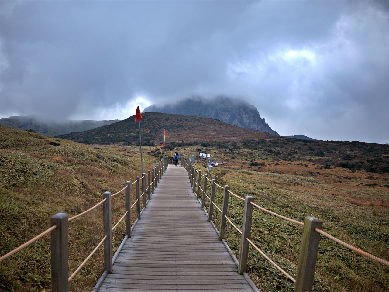
Ever since people first settled on the island, Hallasan has been synonymous with Jeju. The islanders share their history, nature, climate, and legends with Hallasan. The five hiking trails branching out from the conical peak—Yeongsil, Eorimok, Donnaeko (currently closed), Gwaneumsa, and Seongpanak—serve not only as routes up the mountain but also as vital links connecting the sacred spirit of Baengnokdam Crater Lake with the people of Jeju.
Across Hallasan are roughly 360 oreum (parasitic volcanic cones) created by volcanic activity, rising as if standing guard around Baengnokdam or resting in its embrace.
Located at the southernmost part of Korea, Hallasan is the country's highest mountain. Designated a national park on March 24, 1970, with an area of 151.35㎢, this peak is considered one of Korea's three most sacred mountains and is a rich sanctuary of diverse flora and fauna with high scientific value.
Courses recommended by the Korea Forest Service
- Eorimok Square → Sajebidongsan Hill → Mansedongsan Hill → Witseoreum 2 h
- 1100 Road → Yeongsil Ticket Office → Yeongsil Rest Area → Byeongpungbawi Rock → Witseoreum 3 h
- Eorimok Square → Eoseungsaengak 1 h
Public transport
Jeju Intercity Bus Terminal serves as the main transit hub, offering frequent buses to each trailhead.
> Jeju Intercity Bus Terminal → Seongpanak, toward Seogwipo: every 15 min
> Jeju Intercity Bus Terminal → Yeongsil, Eorimok: toward Jungmun, every 80 min
> Jeju Intercity Bus Terminal → Gwaneumsa: no scheduled bus service
Food, lodging & more (Korea Forest Service data, may change)
● Lodging and Facilities
Ample lodging is available in Jeju City and Seogwipo. It is advisable to stay in the city before hiking.
● Inquiries
Hallasan National Park Office ☎ 064-713-9950
Nearby attractions
-
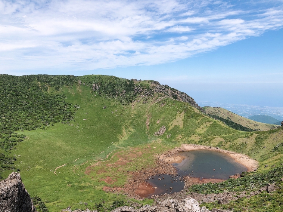 Baengnokdam Lake (한라산 백록담)
1.9 km from the summit
-
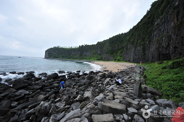 Jeju Island Special Tourist Zone (제주도 관광특구)
4.9 km from the summit
-
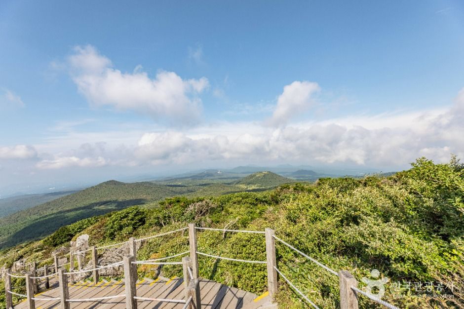 Yeongsil Trail (Hallasan National Park) (한라산 영실)
5.7 km from the summit
-
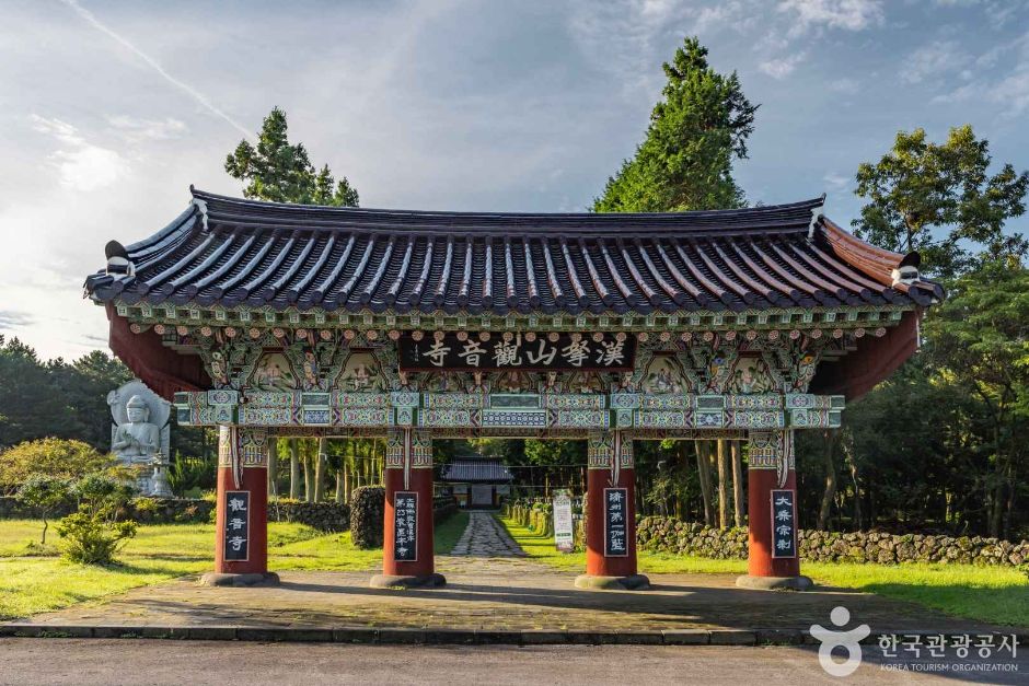 Gwaneumsa Temple (Jeju) (관음사(제주))
7.2 km from the summit
-
 Seogwipo Healing Forest (서귀포 치유의 숲)
7.8 km from the summit
-
 Seogwi Dawon (서귀다원)
7.8 km from the summit
Times and difficulty are estimates from GPS tracks. Before you go, check the weather, sunset time and any trail closures. Course tracks recorded: 2022-01-06
Text on this page was translated automatically from Korean public data. Place names follow the Revised Romanization; signs on the trail are in Korean.
Data: Korea Forest Service and Korea Hiking & Trekking Support Center (Public Data Portal). Course times and difficulty are estimates from GPS tracks (2022).