
Chuwolsan 731m
A Mountain Embracing a Never-Drying Mineral Spring
Easy Moderate Autumn foliage Public transport


- Location
- Yong-myeon, Damyang-gun, Jeollanam-do / Bokheung-myeon, Sunchang-gun, Jeollabuk-do
- Courses
- 4 · 1 h 10 min – 4 h 10 min
- Distance
- 2.2 km – 7.9 km
- Facilities
- Toilets 3 · Parking 4
- Managed by
- Damyang-gun Office · 061-380-3114
Trail map
Why it is one of the 100 famous mountains
Selected for its scenic beauty blending dense forests and Damyangho Lake, and as a natural habitat for Chuwol orchids. Boriam Hermitage, located about 65m below the summit, and Yongchusa Temple on the mountain foot bordering Sunchang, Jeollabuk-do, are well known.
About Chuwolsan
Chuwolsan, whose name reflects peaks said to reach the autumn full moon, boasts rocky cliffs so breathtaking it feels as though Woraksan has been relocated to Damyang. Boriam Hermitage, perched precariously on the cliff edge, offers a thrilling sight.
While the exact founding year and founder of Boriam Hermitage remain unknown, legend says that State Preceptor Bojo Jinul carved three wooden birds at Cheonwangbong Peak of Jirisan, and one flew and perched here. It is also where Lady Lee of Heungyang, wife of General Kim Deok-ryeong during the Imjin War, leaped from the cliff to her death rather than be captured by Japanese invaders.
As the name suggests, the mountain is filled with maples, making autumn the most scenic season when the slopes turn crimson. Looking down at the blue waters of Damyangho Lake as you climb offers an invigorating view. Trails start from Wolgye-ri, Miljae, and Ssangtae-ri, each taking around 3 hours. The most popular route departs Wolgye-ri, passes Boriam Hermitage to reach the summit, circles by the cave shelter, and loops back to Wolgye-ri.
Located about 13 km from Damyang-eup with an elevation of 731.2 m, Chuwolsan is Jeollanam-do Monument No. 4 and is counted among the province's five celebrated mountains.
It marks the provincial boundary between Wolgye-ri, Yong-myeon at the northernmost tip of Damyang-gun and Bokheung-myeon, Sunchang-gun, Jeollabuk-do. Thick forests, bizarre rocks, and sheer stone cliffs surround it like a fortress, with only a narrow western trail barely wide enough for a single person to pass.
Courses recommended by the Korea Forest Service
- Wolgye-ri Taewoong Sanjang → North Ridge Col → Summit → Peak 697 (Boriam Summit) → Boriam Hermitage → Management Office Parking Lot 3 h
- Miljae → Summit → Boriam Hermitage → Gurambawi Rock → Management Office Parking Lot 3 h
- Ssangtae-ri → Peak 697 (Boriam Summit) → Summit → North Ridge Col → Wolgye-ri or Peak 697 (Boriam Summit) → Boriam Hermitage → Management Office Parking Lot 3 h
Public transport
The starting point is Damyang. Buses passing by Damyangho Lake beneath Chuwolsan toward Gamagol, Yong-myeon operate 12 times a day from 06:30 to 19:20; buses toward Gamagol, Yong-myeon run until 20:00.
Food, lodging & more (Korea Forest Service data, may change)
● Food & Lodging and Other Info
About 50 restaurants are located around Gamagol.
Right below Chuwolsan are Chuwol Sanjang (Tel: 061-383-0816) and Sujeong Hoetjip (Tel: 061-383-3116), with minbak (homestay) available. Smelt caught and eaten in spring tastes particularly good.
● Inquiries
Chuwolsan Ticket Booth Tel: 061-382-2469, Gamagol Eco Park Management Office Tel: 061-380-3374
Nearby attractions
-
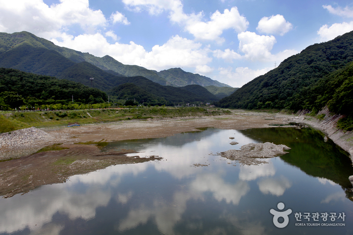 Chuwolsan Mountain (추월산)
1.6 km from the summit
-
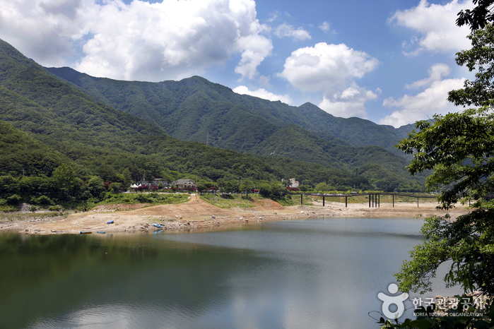 Damyangho Lake (담양호)
4.1 km from the summit
- Damyang Resort Spa (담양리조트 온천) 5.8 km from the summit
-
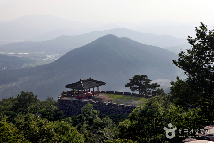 Geumseongsanseong Fortress (담양 금성산성)
5.9 km from the summit
-
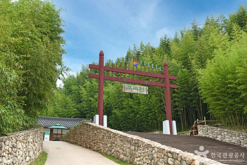 Juknokwon (Bamboo Garden) (죽녹원)
8.1 km from the summit
- Gwanbangjerim Forest (관방제림) 8.5 km from the summit
Times and difficulty are estimates from GPS tracks. Before you go, check the weather, sunset time and any trail closures. Course tracks recorded: 2022-01-06
Text on this page was translated automatically from Korean public data. Place names follow the Revised Romanization; signs on the trail are in Korean.
Data: Korea Forest Service and Korea Hiking & Trekking Support Center (Public Data Portal). Course times and difficulty are estimates from GPS tracks (2022).