
Yumyungsan 864m
Harmony of bizarre rocks and sky-covering dense forest
Easy Moderate Valleys Silver grass Public transport


- Location
- Okcheon-myeon, Yangpyeong-gun, and Seorak-myeon, Gapyeong-gun, Gyeonggi-do
- Courses
- 8 · 1 h 40 min – 5 h
- Distance
- 3 km – 11.3 km
- Facilities
- Toilets 5 · Parking 7
- Managed by
- Yangpyeong County Office · 031-773-5101
Trail map
Why it is one of the 100 famous mountains
Selected for its scenic beauty featuring gentle, smooth ridges, abundant valley streams, bizarre rock formations, and lush forests. It is known for Hyeondeungsa Temple, which was bestowed by King Beopheung in 540 (the 27th year of King Beopheung of Silla) upon Monk Maragami who brought Buddhist teachings from India to Korea, and it features a natural recreation forest.
About Yumyungsan
This mountain appears as Mayusan on the Daedongyeojido map, but at some point it began to be called Yumyungsan. Rumor has it that when the mountain's name was unknown, hikers who visited named it after a woman in their group, Kim Yu-myeong. The name Ipguji Valley, meaning 'branch valley at the entrance', also appears to have been coined by them.
It is this Ipguji Valley that is widely known. Flowing down from Yongmunsan, the valley features several scenic spots such as Madangso, Yongso, and Bakjwiso pools. The summit, with its sweeping silver grass fields, offers great views; with few trees, it is also popular as a paragliding launch site. Paragliders use the logging road coming up from the Seolmaejae Natural Recreation Forest side (to the east).
The ridge course leading toward Seoneochigogae Pass at about 550 meters has an elevation difference of only around 300 meters from the summit. Because reaching the summit is relatively easy, many hikers link this trek across Seoneochi to neighboring Jungmisan. In this case, returning to the starting point is also easy.
It was marked as Mayusan on topographical maps published by the National Geographic Information Institute, but in 1973, when the National Meridian Expedition traversed this mountain, it was named Yumyungsan after Jin Yu-myeong, the only female member of the team at the time.
The ridge leading to the summit is gentle and smooth, and the entire mountain is covered in dense varieties of trees that canopy the sky from spring through summer. In summer, the valley, harmonizing bizarre rock formations and thick forests, flows with abundant water to create magnificent scenery.
Courses recommended by the Korea Forest Service
- There is a course that ascends directly up the ridge from the parking lot, but it later merges with the main course. 1 h 20 min
Public transport
Board a bus bound for Cheongpyeong (Nos. 1330-2 to 1330-5) at Cheongnyangni Station and get off at Cheongpyeong.
Take a local bus bound for Seorak from Cheongpyeong Terminal, get off at Seorak, then transfer to a bus bound for Yumyungsan.
Cheongpyeong Terminal: 031-584-0239
Food, lodging & more (Korea Forest Service data, may change)
● Lodging and Other Information
To enjoy nature, visit Yumyungsan Natural Recreation Forest. ☎ 031-589-5487
● Inquiries
Yumyungsan Natural Recreation Forest ☎ 031-589-5487
Nearby attractions
-
 Jungmisan Recreational Forest (중미산자연휴양림)
2.7 km from the summit
-
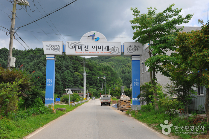 Eobigyegok Valley (어비계곡)
2.9 km from the summit
-
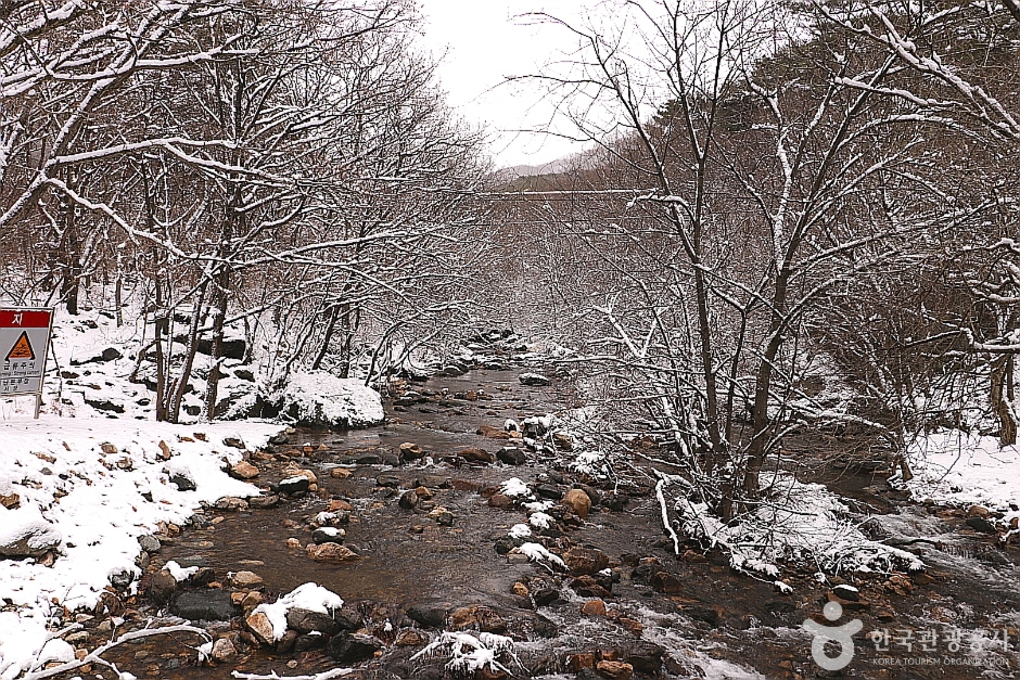 Sanasagyegok Valley (사나사계곡)
4.5 km from the summit
-
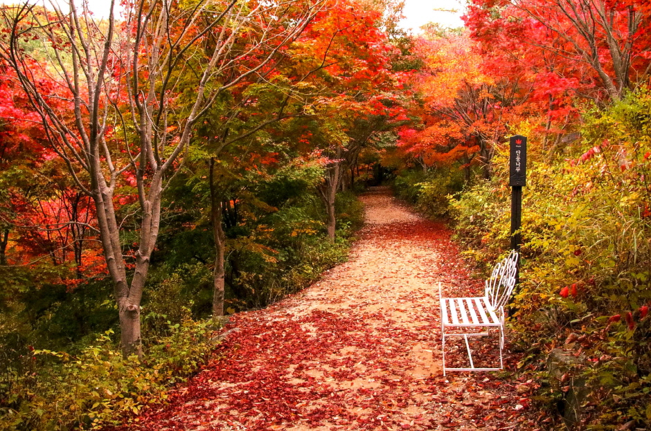 Seohuri Forest (서후리숲)
5.1 km from the summit
- Yongmunsa Temple (용문사(용문산)) 7.9 km from the summit
- Saneum National Recreational Forest (국립 산음자연휴양림) 8.1 km from the summit
Times and difficulty are estimates from GPS tracks. Before you go, check the weather, sunset time and any trail closures. Course tracks recorded: 2022-01-06
Text on this page was translated automatically from Korean public data. Place names follow the Revised Romanization; signs on the trail are in Korean.
Data: Korea Forest Service and Korea Hiking & Trekking Support Center (Public Data Portal). Course times and difficulty are estimates from GPS tracks (2022).