
Unjangsan 1,126m
Headwaters of the Geumgang and Mankyeonggang Rivers
Hard Valleys Public transport


- Location
- Bugwi-myeon, Jucheon-myeon, and Jeongcheon-myeon, Jinan-gun; Dongsang-myeon, Wanju-gun, Jeollabuk-do
- Courses
- 1 · 6 h – 6 h
- Distance
- 12.9 km – 12.9 km
- Facilities
- Toilets 1 · Parking 2
- Managed by
- Jinan County Office · 063-430-2114
Trail map
Why it is one of the 100 famous mountains
Selected for being home to the Daebulcheon Stream valley famous for Uniram and Baniram, featuring clean water, beautiful scenery surrounded by rock cliffs and forests, and a natural recreation forest. It is also famous for Chilseongdae, imbued with the legend of the Big Dipper, and Oseongdae, tied to the lore of Song Ik-pil of the Joseon Dynasty.
About Unjangsan
It is the highest peak of the Geumnamjeongmaek Ridge and the highest peak in the inland region of Jeollabuk-do. Originally named Gujeolsan, it was renamed Unjangsan during the mid-Joseon period after the courtesy name (Unjang) of Song Ik-pil, a behind-the-scenes powerbroker of the Westerners faction. Over a thousand people, including Jeong Yeo-rip and his followers (mostly scholars of Jeollabuk-do), were killed in the Gichuk Oksa (Purge of 1589) that Song was said to have orchestrated, and the mountain's name seems to have been renamed amid that turmoil.
To the left and right of the summit lie Seobong Peak and Dongbong Peak. Below Seobong Peak is Oseongdae, where Song Ik-pil is said to have stayed in hiding after his father—who had risen to the senior third rank by falsely informing that his master was plotting treason as a lowborn—fell back into lowborn status. There, he seems to have finalized his conspiracy to entangle Jeong Yeo-rip, located right across at Jukdo. The most scenic part on the eastern side of the mountain is Gubongsan, which shares the same pronunciation as Song Ik-pil's pen name.
Unjangsan spans Jucheon-myeon, Jeongcheon-myeon, and Bugwi-myeon in Jinan-gun, and Dongsang-myeon in Wanju-gun, Jeollabuk-do. Water flowing to the south and north empties into the Geumgang River, while water flowing down the western valley passes Dongsang-myeon in Wanju-gun into the Mankyeonggang River, serving as the headwaters for both rivers. Past Chilseongdae, which holds the legend of the Big Dipper, and further uphill is Oseongdae, traditionally known as the retreat of Song Ik-pil, a Neo-Confucian scholar of concubine-born descent during the reign of King Jungjong of the Joseon Dynasty.
Main hiking courses include trails ascending from Gunghang-ri or Hwanggeum-ri in Bugwi-myeon, from Sinwol-ri in Dongsang-myeon, Wanju-gun, and trails starting from Jungsa and Oecheosa-dong villages in Jucheon-myeon heading toward Dongbong Peak.
Courses recommended by the Korea Forest Service
- Unjangsan Rest Area → Hwalmokjae Pass → Summit → Dongbong Peak → Dongbong North Ridge → Oecheosa-dong 3 h 5 min
- Jeongsuam → Seobong Peak → Summit → Dongbong Peak → Gagumokjae Pass → Naecheosa-dong → Oecheosa-dong 4 h 20 min
- Yeonseoksa Temple → Yeonseoksan → Summit → Dongbong Peak → Naecheosa-dong → Oecheosa-dong 5 h
Public transport
The starting point is Jinan. From Jinan, buses to Naecheosa-dong run 7 times a day, but there is no bus to Unjangsan Rest Area. Buses heading to Uniram and Baniram operate every hour. Buses to Jinan depart 4 times daily from Seoul Gangnam Express Bus Terminal and Busan Sasang Bus Terminal. Buses run every 10 minutes from Jeonju, every 30 minutes from Daegu, and every hour from Daejeon.
Food, lodging & more (Korea Forest Service data, may change)
● Lodging and Other Information
There are many places to eat and stay around Daebul-ri and Juyang-ri in Jucheon-myeon, where Uniram and Baniram are located, and near the three-way intersection going from Daebul-ri toward Mureung-ri.
Accommodations and dining include Alps Sanjang (063-432-7024), Eros Sanjang (063-432-7025), Jeonju Yeogwan (063-432-7026), and the chicken restaurant Meorurang Daraerang (063-432-0080).
● Inquiries
Jinan County Office Culture and Tourism Division 063-430-2390
Nearby attractions
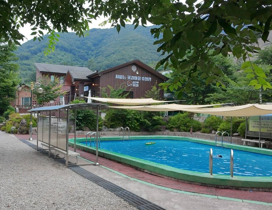 Jinan Hakdong Village (진안 학동마을)
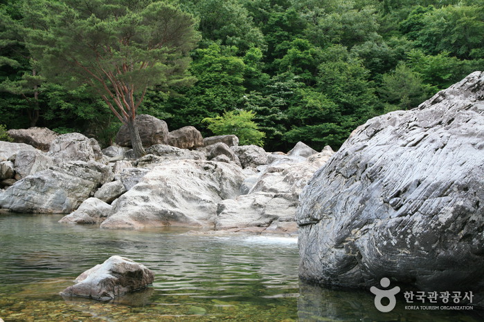 Uniram Baniramgyegok Valley (운일암 반일암 계곡)
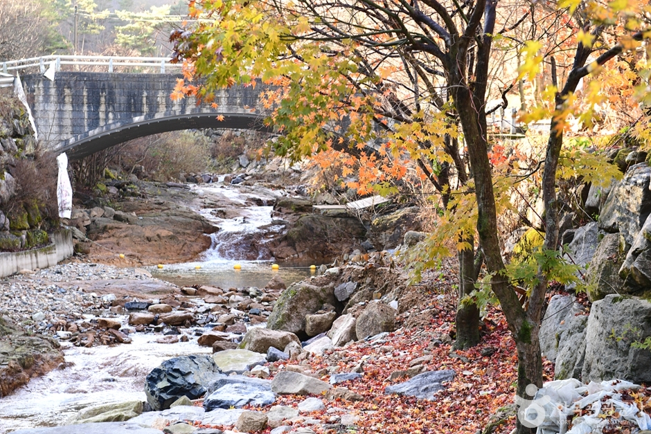 Dongsang Unjangsangyegok Valley (동상운장산계곡)
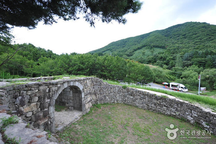 Wibongsanseong County Park (위봉산성)
Times and difficulty are estimates from GPS tracks. Before you go, check the weather, sunset time and any trail closures. Course tracks recorded: 2022-01-06
Text on this page was translated automatically from Korean public data. Place names follow the Revised Romanization; signs on the trail are in Korean.
Data: Korea Forest Service and Korea Hiking & Trekking Support Center (Public Data Portal). Course times and difficulty are estimates from GPS tracks (2022).