
Unaksan 935m
The Sogeumgang of Gyeonggi rising through the clouds
Moderate Valleys Autumn foliage Public transport


- Location
- Hwahyeon-myeon, Pocheon-si and Ha-myeon, Gapyeong-gun, Gyeonggi-do
- Courses
- 6 · 3 h 30 min – 4 h 55 min
- Distance
- 6.2 km – 11.9 km
- Facilities
- Toilets 12 · Parking 11
- Managed by
- Gapyeong County Office · 031-580-2114
Trail map
Why it is one of the 100 famous mountains
Selected for its outstanding scenery around the main peak of Manggyeongdae, earning it the title 'Sogeumgang of Gyeonggi.' It is famous for the millennial Hyeondeungsa Temple and the Eight Scenic Views of Unak, including Baeknyeon Falls, Orang-kaeso Pond, Nunseopbawi Rock, Kokkiribawi Rock, Manggyeongdae Cliff, Mupo Falls, Keungolnaechigi Rock Wall, and Nochae-aegiso Pond.
About Unaksan
One of Gyeonggi's Five Rugged Mountains (Gyeonggi 5-ak), Unaksan is a renowned rocky mountain, as its name suggests. The mountain's composition, with peaks and ridges converging toward the summit, is outstanding, and the harmony of rock formations and autumn foliage is beautiful. Thus, it is called the 'Geumgang of Gyeonggi.' On the eastern foot lies Hyeondeungsa Temple, home to the stupa of National Preceptor Bojo Jinul. On the west, there are the vertical Sokkori Falls and the 30m-tall Mujigae Falls, which are frequently visited by ice climbers.
It is the last 900m-class peak along the Hanbukjeongmaek Ridge; to its southwest lie only 600m-class peaks such as Jungyeopsan and Gyemyeongsan (according to the Daedongyeojido map rather than the Sangyeongpyo). Further south in Gyeonggi-do, there are no comparable mountains. In terms of waterways, the eastern side feeds Jojongcheon Stream, which passes the Cheongpyeong safety resort area before flowing into the Bukhangang River, while the western side connects to Myeongdeokcheon Stream, a tributary of Pocheoncheon Stream. Therefore, the Jojongcheon basin—historically Jojong-hyeon, corresponding to Sang-myeon and Ha-myeon—serves as the mountain's front side, and its mountain ridges are best viewed from Seodaegogae Pass between Cheongpyeong and Hyeon-ri. Unaksan was the guardian mountain of Hyeon-ri, which was the seat of government of Jojong-hyeon.
Located about 20km northeast of Cheongpyeong, Unaksan boasts scenery remarkable enough to be called the Sogeumgang of Gyeonggi. Huge rocks encircle the main peak of Manggyeongdae and pierce through the clouds at every summit, while the ancient Hyeondeungsa Temple and the clear waters of Jojongcheon Stream add to its charm.
Courses recommended by the Korea Forest Service
- Unjusa Temple → Sinseondae Cliff → Aegibawi Rock → Summit → Jeolgogae Pass → Hyeondeungsa Temple → Seokgeori 4 h 20 min
Public transport
Buses bound for Hyeon-ri operate 11 times daily from Sangbong-dong Terminal in Seoul (via Gwangneungnae and Cheongpyeong), and every hour from Cheongyangni (Seat Bus No. 1330).
From Hyeon-ri, take a local bus toward Sangpan-ri (11 times daily) and get off at the entrance to Hyeondeungsa Temple.
For Unjusa Temple, take a local bus bound for Ildong from Gwangneungnae (14 times daily) and get off at Hwahyeon-ri.
Food, lodging & more (Korea Forest Service data, may change)
● Food, Lodging & Other Info
Between Cheongusan and Gitdaebong Peak along the Jojongcheon Stream is the Sanjang Tourist Area operated by the Gapyeong Livestock Cooperative. It features a campground, athletic grounds, and a natural swimming pool. ☎031-585-6012
Chungnyeongsan Natural Recreation Forest is also relatively close. ☎031-592-0681
● Inquiries
☎031-580-2253
Nearby attractions
- Pocheon Sansawon (포천 산사원) 3.2 km from the summit
- Jojongcheongyegok Valley (조종천계곡) 5.7 km from the summit
-
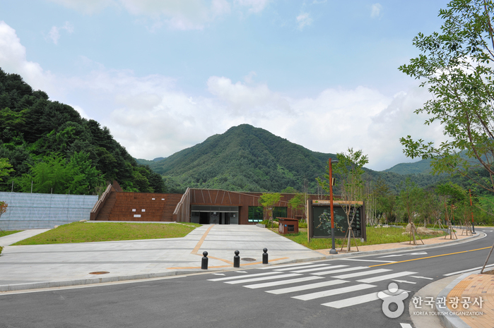 Yeoninsan Provincial Park (연인산도립공원)
8.3 km from the summit
-
 Pocheon Art Valley [Hantangang UNESCO Global Geopark] (포천아트밸리 (한탄강 유네스코 세계지질공원))
8.9 km from the summit
-
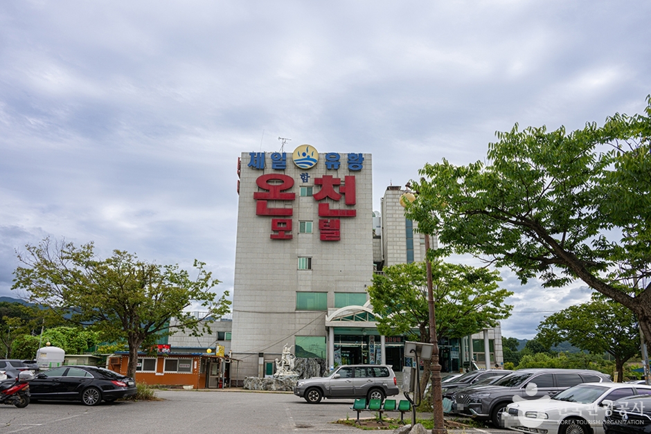 Ildong Jaeil Yuhwang Oncheon (일동제일유황온천)
9.9 km from the summit
Times and difficulty are estimates from GPS tracks. Before you go, check the weather, sunset time and any trail closures. Course tracks recorded: 2022-01-06
Text on this page was translated automatically from Korean public data. Place names follow the Revised Romanization; signs on the trail are in Korean.
Data: Korea Forest Service and Korea Hiking & Trekking Support Center (Public Data Portal). Course times and difficulty are estimates from GPS tracks (2022).