
Taehwasan 1,028m
Overlooking Yeongwol-eup from Taehwasanseong Fortress
Moderate Autumn foliage Silver grass

- Location
- Yeongwol-eup, Yeongwol-gun, Gangwon-do; Yeongchun-myeon, Danyang-gun, Chungcheongbuk-do
- Courses
- 3 · 3 h 45 min – 4 h 35 min
- Distance
- 8.8 km – 10 km
- Facilities
- Toilets 4 · Parking 4
- Managed by
- Yeongwol County Office · 1577-0545
Trail map
Why it is one of the 100 famous mountains
Selected for its scenic beauty, historical remnants such as Taehwasanseong Fortress (an earthen fortification built during the Goguryeo period), and natural attractions like Gossidonggul Cave (Natural Monument No. 219).
About Taehwasan
Straddling the boundary between Gangwon-do and Chungcheongbuk-do, Taehwasan is a grand and beautiful mountain befitting its name. Its cozy silver grass field makes it well-suited for autumn hiking. Overshadowed by nearby Chiaksan in Wonju, Sobaeksan in Danyang, and Woraksan National Park, it remains relatively quiet, preserving its untouched, pristine natural beauty. Adding to the appeal, the Namhangang River winds around its base, and the mountain embraces Gossidonggul Cave, formed over 400 million years ago.
The gentle ridge trails change throughout the four seasons, offering scenic vistas and making it an excellent destination for family hikes. The three main trailheads are Yeongchun, Palgoe-ri, and Gossidonggul Cave; because the trail from Gossidonggul Cave is steep, hikers typically choose Yeongchun or Palgoe-ri.
Recorded as Daehwasan in the Sinjeung Dongguk Yeoji Seungnam (New Augmented Survey of the Geography of Korea), Taehwasan is situated south of Yeongwol-eup, Yeongwol-gun, Gangwon-do. At the end of the ridge stretching northwest from the peak, the Namhangang River winds through the valley, and the historic site of Taehwasanseong Fortress, which overlooks Yeongwol-eup, stands along the route to the summit.
At Taehwasanseong Fortress, an earthen fortification built during the Goguryeo period, ancient roof tile fragments are still occasionally discovered. From the summit of Taehwasan, Sobaeksan and the ridges of the Baekdudaegan Mountain Range stretch out to the south in the distance.
Courses recommended by the Korea Forest Service
- Palgoe-ri → Intersection Col → Summit → Yeongchun 3 h 40 min
Public transport
The transit hub is Yeongwol. > Yeongwol → Yeongchun: 6 times daily. Yeongwol → Heungwol, Palgoe-ri: 4 times daily.
Food, lodging & more (Korea Forest Service data, may change)
● Lodging and Other Information
Inns (yeogwan) in Yeongwol-eup are available:
Ihwajang ☎033-374-8853, Parkjang ☎374-6110, Royaljang ☎374-8101, Gardenjang ☎373-5794,
Sillajang ☎373-8771, Greenjang ☎373-8361, as well as local guesthouses (minbak) near tourist attractions.
● Inquiries
Yeongwol County Office Culture and Tourism Division ☎033-370-2226
Nearby attractions
- Ondal Tourist Area (온달관광지) 6.1 km from the summit
-
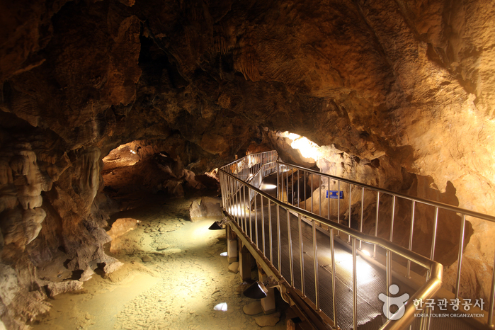 Danyang Ondaldonggul Cave (단양 온달동굴)
6.1 km from the summit
-
 Cheongnyeongpo Meandering Stream (영월 청령포)
7.3 km from the summit
-
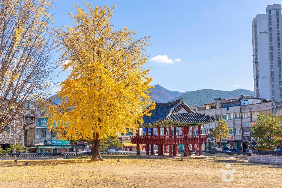 Jagyuru Pavilion and Gwanpungheon Hall (자규루 및 관풍헌)
7.4 km from the summit
-
 Yeongwol Tourism Center (영월관광센터)
7.7 km from the summit
-
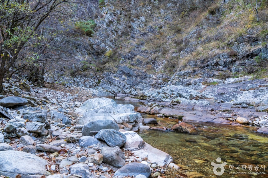 Namcheongyegok Valley (남천계곡)
8.6 km from the summit
Times and difficulty are estimates from GPS tracks. Before you go, check the weather, sunset time and any trail closures. Course tracks recorded: 2022-01-06
Text on this page was translated automatically from Korean public data. Place names follow the Revised Romanization; signs on the trail are in Korean.
Data: Korea Forest Service and Korea Hiking & Trekking Support Center (Public Data Portal). Course times and difficulty are estimates from GPS tracks (2022).