
Odaesan 1,565m
Sangwonsa Temple, Preserved from Destruction Through a Monk's Sacrifice
Moderate Hard Valleys Autumn foliage Snow scenery Public transport
- Location
- Yeongok-myeon, Gangneung-si; Jinbu-myeon, Pyeongchang-gun; Nae-myeon, Hongcheon-gun, Gangwon-do
- Courses
- 4 · 3 h 10 min – 5 h 30 min
- Distance
- 6.5 km – 17.3 km
- Facilities
- Toilets 12 · Parking 10
- Managed by
- Gangneung City Hall · 033-660-2018
Trail map
Why it is one of the 100 famous mountains
Designated as a national park in 1975 in recognition of having one of the country's foremost forested regions and outstanding natural scenery. The name originates from five rounded, plateau-like peaks that encircle the area like lotus petals. Home to Woljeongsa Temple, Jeokmyeolbogung Shrine, and Sangwonsa Temple, and widely recognized as one of Korea's premier Buddhist sanctuaries, with numerous temples and hermitages scattered across its valleys.
About Odaesan
Odaesan, meaning a mountain with five peaks, covers a vast area of 660㎢, stretching 20km east-west and 33km north-south. Centered around its highest peak, Birobong Peak (1565.4m), grand peaks such as Sangwangbong Peak (1493m), Horyeongbong Peak (1565.5m), Durobong Peak (1422.7m), Dongdaesan Mountain (1433.5m), and Noinbong Peak (1338.8m) to the east rise prominently. It is a premier Buddhist sacred mountain, home to temples and hermitages including Woljeongsa Temple, Sangwonsa Temple, Jungdae Sajaram Hermitage, Bukdae Mireugam Hermitage, Namdae Jijangam Hermitage, Dongdae Gwaneumam Hermitage, and Seodae Sujeongam Hermitage.
Odaesan is largely divided into the Woljeongsa District and the Sogeumgang District. The Woljeongsa District features routes where visitors can tour cultural treasures, while the Sogeumgang District offers scenic valley hiking amidst spectacular rock formations such as Manmulsang and Sikdangam, along with Guryongpokpo Falls and Nagyeongpokpo Falls. Hiking centered around Bangadari Mineral Spring is also possible.
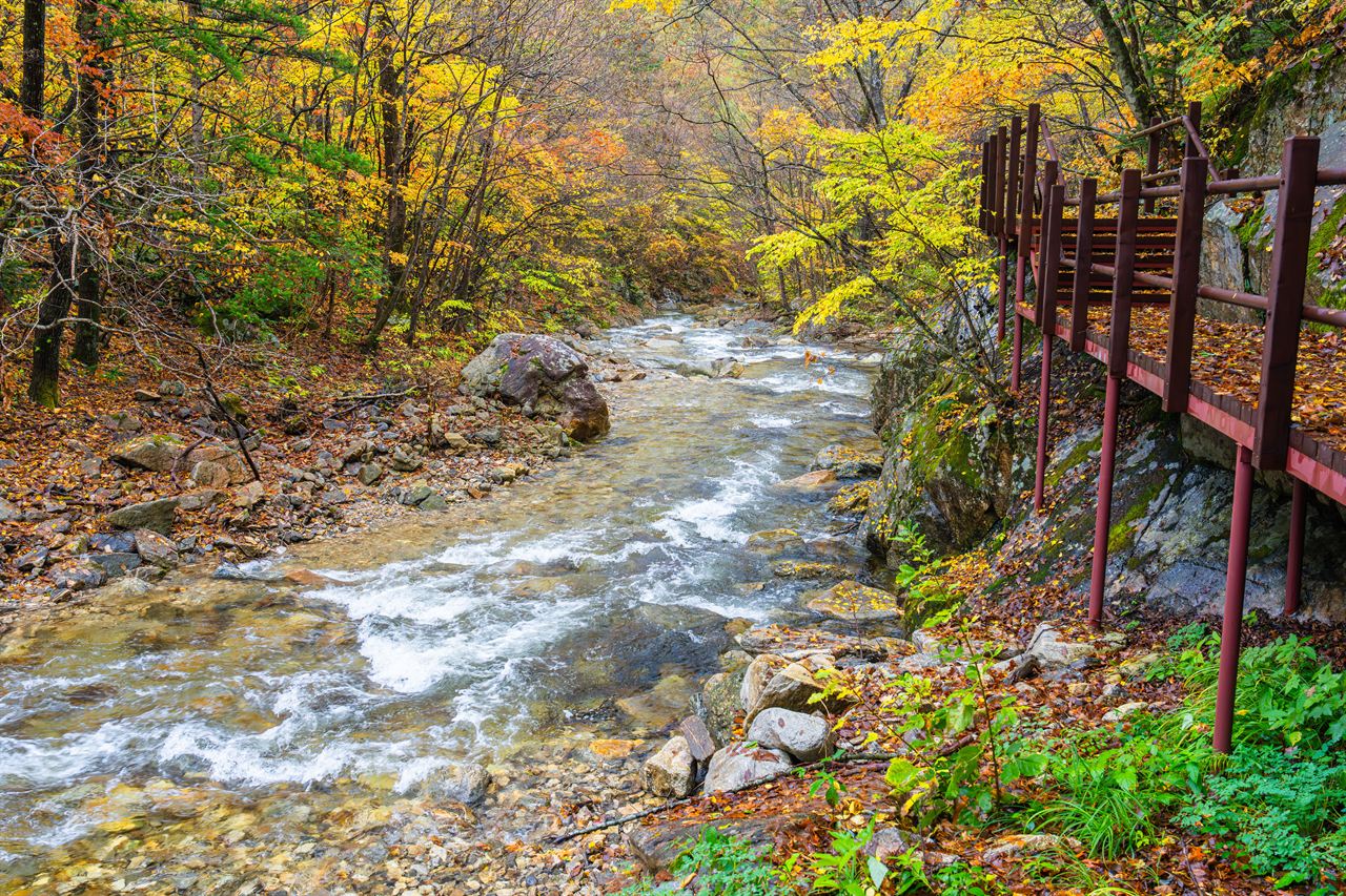
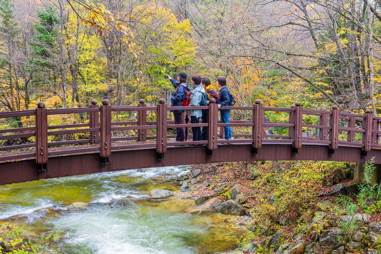
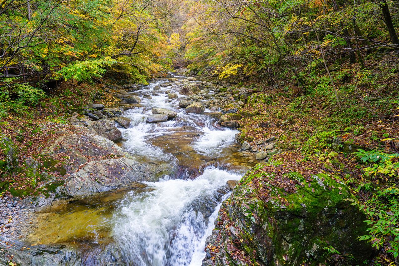
Odaesan presents stunning scenery in all four seasons, with blooming wild flowers in spring, cool valleys and lush forests in summer, richly colored autumn foliage in fall, and snowscapes in winter.
With its dense forests, renowned temples, mineral springs, and historical sites, Odaesan attracts many tourists and hikers. It is situated in the western section of Odaesan National Park across Jinbu-myeon and Doam-myeon in Pyeongchang-gun, Nae-myeon in Hongcheon-gun, and Yeongok-myeon in Gangneung-si, Gangwon-do. A popular short hike route visits historic temples and hermitages: passing Sangwonsa Temple and Jeokmyeolbogung Shrine to the summit at Birobong Peak, and descending toward Mireugam Hermitage. Sangwonsa Temple survived destruction during the Korean War due to the sacrifice of Monk Hanam and preserves National Treasure No. 36 (Bronze Bell). It was originally founded by Master Jajang during the Silla period.
Historically regarded as one of Korea's greatest mountains alongside Geumgangsan, Hallasan, and Jirisan, Odaesan boasts thick forests with large trees across its valleys, holding the largest woodland area in South Korea. Unlike many mountains in Gangwon-do dominated by rocky crags, it consists primarily of soil slopes, showcasing a quintessential Korean mountain landscape.
Birobong Peak is the highest point and summit of Odaesan. Located in the western part of the Baekdudaegan ridge connecting Seoraksan to Durobong Peak and Dongdaesan Mountain, Odaesan features historic temples, hermitages, and numerous legends. Its five main peaks are Horyeongbong Peak, Birobong Peak, Sangwangbong Peak, Durobong Peak, and Dongdaesan Mountain, with Birobong Peak being the highest followed by Horyeongbong Peak.
Courses recommended by the Korea Forest Service
- Sangwonsa Temple → Birobong Peak → Sangwangbong Peak → Durobong Peak → Dongdaesan Mountain → Jingogae Mountain Lodge (Dongdaesan Mountain → Jingogae was under a nature rest period from 2006 to 2010) 10 h 30 min
- Bangadari Mineral Spring → Birobong Peak → Sangwonsa Temple 7 h
- Jingogae → Noinbong Peak → Nagyeongpokpo Falls → Manmulsang → Guryongpokpo Falls → Cheonghaksan Lodge → Sogeumgang Parking Lot 5 h 30 min
Public transport
The starting point for the Woljeongsa District is Jinbu (Jinbu Local Bus Terminal ☎033-335-6963), and for the Sogeumgang District it is Gangneung (Gangneung Intercity Bus Terminal Dongjin Bus ☎033-653-8012, Donghae Sangsa ☎033-653-0320).
There are no city or intercity buses running directly to Jingogae, so a private car or taxi must be used. It takes about 35 minutes from Sogeumgang Branch Office to Jingogae.
- Jinbu → Woljeongsa Temple: Runs at 1-hour intervals
- Jinbu → Sangwonsa Temple: Select buses bound for Woljeongsa operate between 07:30 and 17:20
- Gangneung → Sogeumgang: Take Bus 303 and get off at the last stop
Food, lodging & more (Korea Forest Service data, may change)
● Lodging and Facilities
Accommodations are concentrated around the Sogeumgang and Woljeongsa districts.
Campgrounds include Dongpigol Campground (☎033-332-6417) in the Woljeongsa District and Sogeumgang Auto Camping Site (☎033-661-4101) in the Sogeumgang District.
Woljeongsa District: Odaesan Hotel (☎033-330-5000), Phoenix Park (☎033-332-6818). Sogeumgang District: Eondeokui Jip (☎033-661-4422), Mureung Mountain Lodge (☎033-661-4132).
● Inquiries
Odaesan National Park Office (☎033-332-6417), Pyeongchang National Forest Management Office (☎033-333-2275), Pyeongchang-gun Culture and Tourism Division (☎033-330-2752), Yongpyeong-myeon Office (☎033-330-2606), Hongcheon-gun Nae-myeon Office (☎033-432-6003)
Nearby attractions
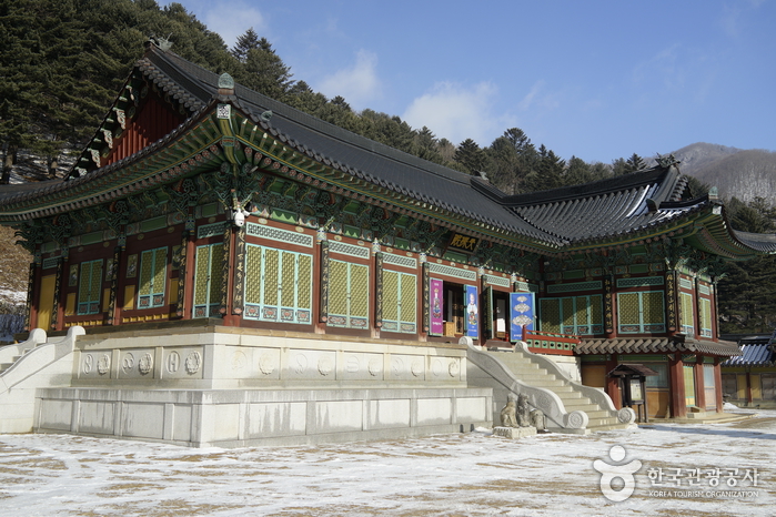 Sangwonsa Temple (상원사(오대산))
 Hongcheon Ginkgo Forest (홍천 은행나무숲)
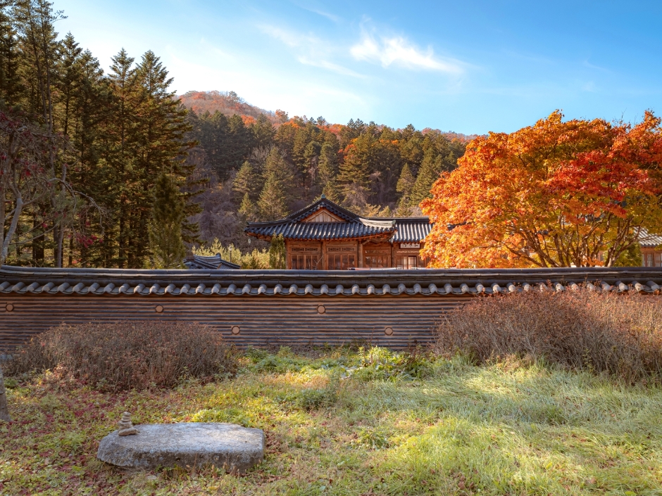 Woljeongsa Temple & Needle Fir Forest (월정사.월정사전나무숲)
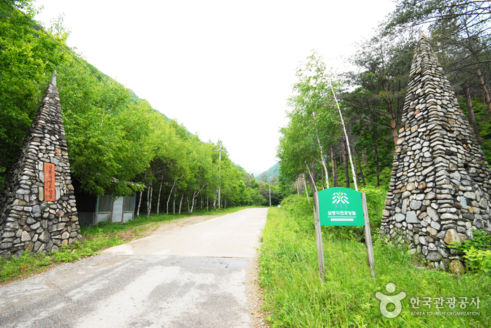 Sambong National Recreational Forest (국립 삼봉자연휴양림)
Times and difficulty are estimates from GPS tracks. Before you go, check the weather, sunset time and any trail closures. Course tracks recorded: 2022-01-06
Text on this page was translated automatically from Korean public data. Place names follow the Revised Romanization; signs on the trail are in Korean.
Data: Korea Forest Service and Korea Hiking & Trekking Support Center (Public Data Portal). Course times and difficulty are estimates from GPS tracks (2022).