
Namsan 495m
A Mountain Breathing with a Thousand Years of Silla History
Easy Moderate Valleys Snow scenery Public transport

- Location
- Namsan-dong and Naenam-myeon, Gyeongju-si, Gyeongsangbuk-do
- Courses
- 5 · 2 h 40 min – 4 h 5 min
- Distance
- 6.3 km – 9.4 km
- Facilities
- Toilets 1 · Parking 1
- Managed by
- Gyeongju City Hall · 054-748-9001
Trail map
Why it is one of the 100 famous mountains
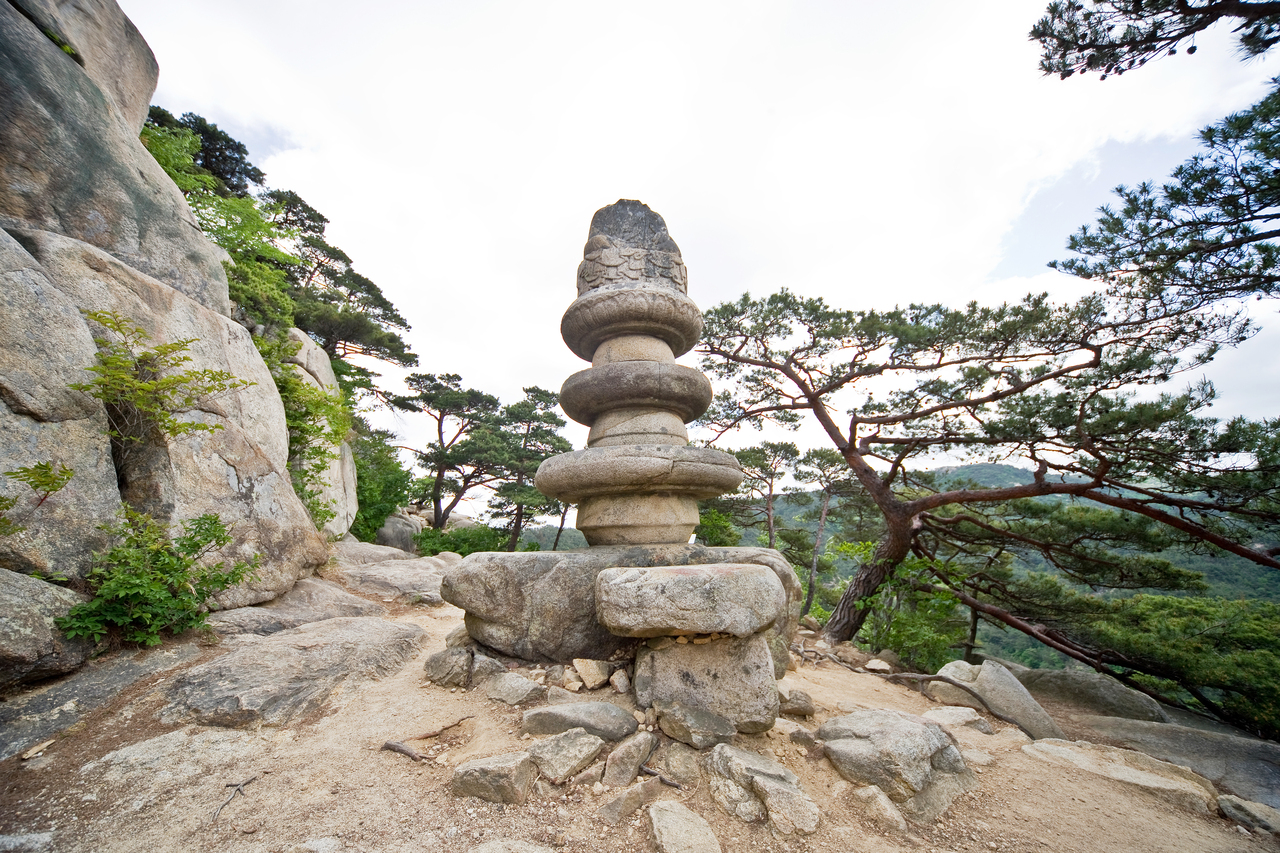
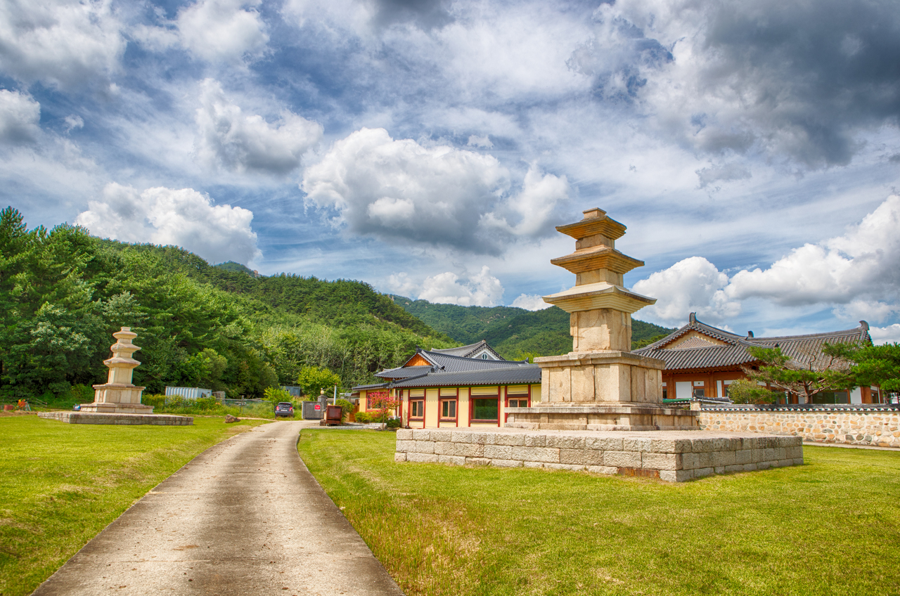
Selected in consideration of being a treasure trove of Silla-era historical relics and ruins, designated as Gyeongju National Park with around 80 Buddhist statues, 60 pagodas, and 110 temple sites scattered across a mountain range approximately 8 km long and 4 km wide. Famous sites in the 'Gyeongju Namsan Buddhist Historic Site' include the Rock-carved Seated Tathagata Buddha (Treasure No. 913) and Chilburam Rock-carved Buddhas. Namsansanseong Fortress is located on the eastern side.
About Namsan
Rising south of Gyeongju, Namsan was an object of worship for the people of Silla. Formed by about 40 valleys and ridges flowing down from two peaks, Geumosan (495.1m) and Gowibong Peak (494m), it forms an elongated oval stretching 4 km east to west and 8 km north to south.
An open-air museum dotted with over 100 temple sites, around 80 stone Buddhas, and about 60 stone pagodas, it is divided into West Namsan, the sacred birthplace of Silla, and East Namsan, which holds numerous stone Buddhas in places like Mireukgol, Tapgol, and Bucheogol.
Its natural scenery is also outstanding, with many ever-changing valleys and uniquely shaped rocks creating fantastic landscapes, matching the countless hiking trails frequented by hikers. For this reason, those familiar with Namsan say, "You cannot say you have seen Gyeongju without climbing Namsan." Namsan is a place where natural beauty, the long history of Silla, and the aesthetic and religious consciousness of the Silla people have been sublimated into art.
It is no exaggeration to say that Gyeongju Namsan is Silla itself. It is a treasure trove of numerous relics spanning from the founding to the fall of Silla, as well as Buddhist heritage that sustained the kingdom.
From Najeong Well in the founding myth of Silla to Poseokjeong Pavilion of its final period, both are nestled at the foot of Namsan, spanning a time gap of 900 years.
Courses recommended by the Korea Forest Service
- Poseokjeong → Yuneurigol Rock-carved Triad Buddha → Sangsil Temple Site → Bu-eongi Rock-carved Seated Tathagata Buddha → Buheungsa Temple → Neulbibong Peak Stone Pagoda → Geumojeong Pavilion → Guksagol Sangsibawi Rock → Sajabong Peak (Palgakjeong Site) → Geumosan Mountain → Yaksugol Rock-carved Great Buddha → 2nd Temple Site → Parking Lot 3 h
- Bucheogol Grotto Buddha → Tapgol Rock-carved Buddhas of Bucheobawi Rock → Borisa Temple Stone Seated Tathagata Buddha → Mireukgol Rock-carved Seated Tathagata Buddha → Tomb of King Heongang → Tomb of King Jeonggang → Tongiljeon Hall → Seochulji Pond → Saji Twin Pagodas → Yeombulsa Temple Site → Chilburam Rock-carved Buddhas → Sinseonam Rock-carved Bodhisattva in Half-lotus Position → Baegunam Hermitage → Gowisan Mountain → Cheonryongsa Temple → Waryongsa Temple 4 h 30 min
Public transport
The starting point is Gyeongju.
- Gyeongju → Samneung > Yongjang-ri → Gyeongju: Use city buses for all legs.
Food, lodging & more (Korea Forest Service data, may change)
● Lodging and Other Information
As a special tourism zone, Gyeongju has countless accommodations.
Among these, in the Namsan area, there are Banseokjang Motel ☎054-748-9798, Samcheonsanbang ☎054-748-7868, Gyeongju Youth Hostel ☎054-772-4441, etc.
● Inquiries
Gyeongju City Hall Culture and Tourism Division ☎054-779-6396
Nearby attractions
-
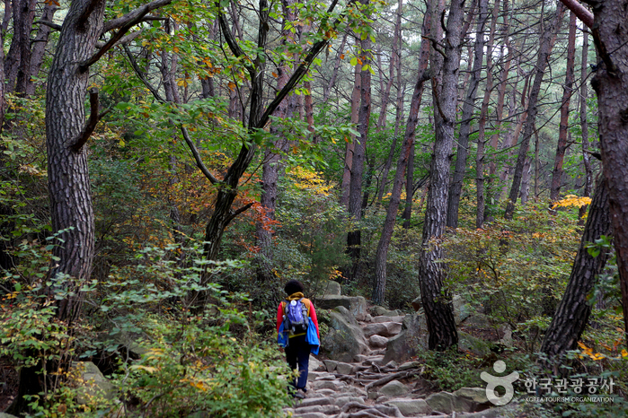 Gyeongju Namsan Mountain (경주 남산)
1.8 km from the summit
- Tongiljeon Ginkgo Road (통일전 은행나무길) 3.7 km from the summit
-
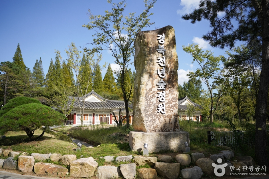 Gyeongbuk Millennium Forest Garden (경북천년숲정원)
5.1 km from the summit
-
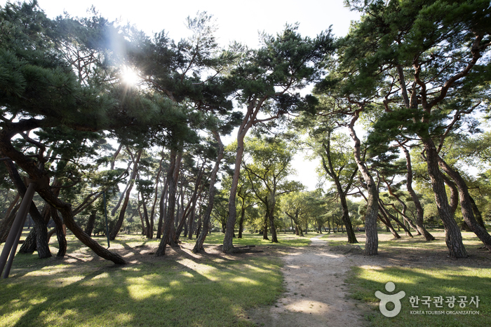 Gyeongju Five Royal Tombs (경주 오릉)
6.2 km from the summit
-
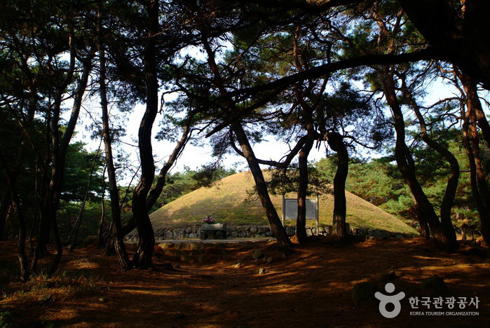 Tomb of Queen Seondeok (경주 선덕여왕릉)
6.4 km from the summit
- Library of the Silla Millennium (국립경주박물관 신라천년서고) 6.8 km from the summit
Times and difficulty are estimates from GPS tracks. Before you go, check the weather, sunset time and any trail closures. Course tracks recorded: 2022-01-06
Text on this page was translated automatically from Korean public data. Place names follow the Revised Romanization; signs on the trail are in Korean.
Data: Korea Forest Service and Korea Hiking & Trekking Support Center (Public Data Portal). Course times and difficulty are estimates from GPS tracks (2022).