
Myeongjisan 1,252m
Myeongjisan spreading its ridges in all four directions
Moderate Hard Spring flowers Valleys Autumn foliage Snow scenery Public transport
- Location
- Buk-myeon and Ha-myeon, Gapyeong-gun, Gyeonggi-do
- Courses
- 4 · 3 h 30 min – 5 h 40 min
- Distance
- 6.7 km – 11.9 km
- Facilities
- Toilets 21 · Parking 22
- Managed by
- Gapyeong-gun Office · 031-580-2114
Trail map
Why it is one of the 100 famous mountains
Selected because it is the second-highest mountain in Gyeonggi-do, facing the province's highest peak Hwaaksan (1,468.3m) across Gapyeongcheon Stream, features majestic terrain with peaks like Gangssibong Peak, Gwimokbong Peak, Cheonggyesan, and Umokbong Peak, and is designated as a County Park. The Gapyeongcheon Valley flowing over 20 km east of the mountain and Myeongjipokpo Falls in Ikgeun-ri Valley are famous. The mountains and valleys around Myeongjisan are recognized as the foremost deep mountain valleys in Gyeonggi-do.
About Myeongjisan
Myeongjisan may not have a delicate skyline, but it offers immense height and depth. It is the second-highest peak in Gapyeong-gun, the most mountainous and elevated county in Gyeonggi-do. In particular, the 70-ri ridge path starting from Cheongusan (617.8m) to the south and leading through Daegeumsan (705.8m), Maebong Peak (929.2m), and Yeoninsan (1,068m) is renowned as a snow-season traverse route. This ridge is the first ~1,000-meter range blocking the northwest seasonal winds.
The mountain forms a C-shape around Ikgeun-ri Valley to the east, where trails are well developed. To the west, paths lead from Gwimokgogae Pass to Sangpan-ri or over Gwimokbong Peak (1,036m) via Gangssibonggogae Pass down to Ildong in Pocheon. Because connected public transit is inconvenient on that side, fewer people visit, offering the advantage of solitude. It is also an ideal spot for spring wild-greens foraging.
The highlight of hiking Myeongjisan is the mountain panorama viewed from the summit. It provides an experience unique in Gyeonggi-do of being surrounded by endless peaks like an isolated island.
The 6-km-long Ikgeun-ri Valley is great for summer water play. Its autumn foliage is also famous. Though it is a soil-covered mountain that might seem unpretentious at first glance, its sheer size makes the trek worthwhile.
Ranking second in height in Gyeonggi-do after Hwaaksan (1,468.3m), Myeongjisan is the highest peak in the province that hikers can actually summit. Forming an immense mountain range, it offers many trails matching its size, yet every route requires more than 3 hours to reach the summit. While close to Seoul, it still preserves unpolluted clean valleys and dense forests.
Facing Hwaaksan across the Gapyeongcheon Stream, Myeongjisan spreads its ridges in all four directions from the summit, holding Gwimokbong Peak, Sahyangbong Peak, and Baekdunbong Peak under its wing. The dense forests warmly embrace weary hikers with immeasurable depth.
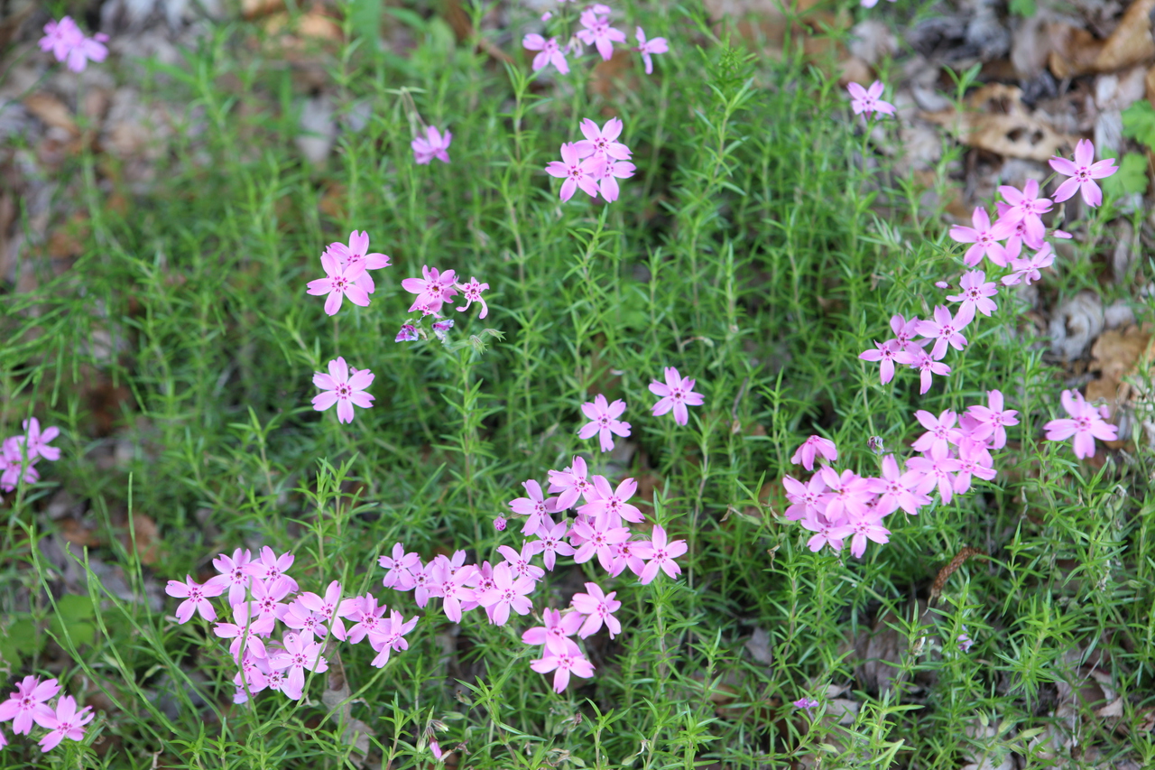
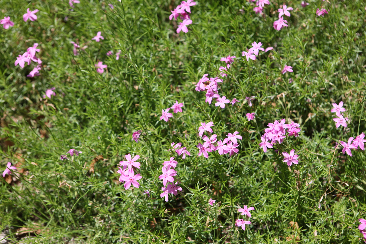
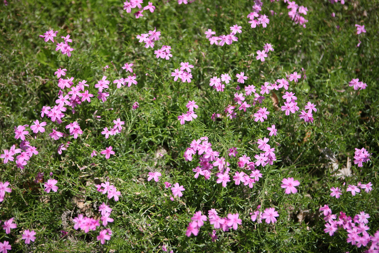
Beautiful in all four seasons, the mountain is especially filled with azaleas and royal azaleas in spring. The autumn leaves are designated as the 4th of Gapyeong's Eight Scenic Views. While Korean mountains are universally scenic in autumn, the foliage here gains depth in harmony with decades-old trees and fantastic rocks. In winter, heavy snowfall creates spectacular snow flowers that welcome winter hikers.
Ascending about 1 km from the entrance at Ikgeun-ri, you reach Seungcheonsa Temple, a small temple. Continuing another 2 km, you will see Myeongjipokpo Falls on the left side of the trail, cascading down from a height of 6 meters. Its deep pool beneath, which cools the summer heat, is said to have been named Myeongjipokpo because a whole skein of silk thread (myeongju) once sank completely into it without touching the bottom.
Courses recommended by the Korea Forest Service
- Ikgeun-ri → Gangbakbong Peak → Sahyangbong Peak → Summit → Nambong Peak → Seungcheonbong Peak Col → Baekdun-ri 6 h 10 min
- Gwimok-ri → Ajaebigogae Pass → 1199 Peak → Summit → Sahyangbong Peak Col → Valley 3-way Intersection → Ikgeun-ri 5 h 40 min
- Ikgeun-ri → Myeongjipokpo Falls → Upper Valley → Summit → 1199 Peak → Gwimokgogae Pass → Gwimokbong Peak → Gangssibonggogae Pass → Ildong 8 h 40 min
Public transport
The starting point is Gapyeong.
Gyeongchun Line trains pass at 1-hour intervals, and direct buses run every 15 minutes from Dong Seoul Terminal and every 20 minutes from Sangbong-dong Terminal. Direct buses are also available from Incheon, Suwon, Uijeongbu, and Ansan.
- Gapyeong → Ikgeun-ri: Take the bus toward Jeongmok-ri (Yongsudong), which runs 5 times daily, and get off at the Myeongjisan entrance
- Gapyeong → Baekdun-ri: Runs 4 times daily
- Idong → Sangbong-dong: Runs 9 times daily (via Ildong)
Food, lodging & more (Korea Forest Service data, may change)
● Accommodation and other information
Yongchu Valley Natural Recreation Forest in Yeoninsan Provincial Park, Gapyeong-eup ☎031-582-3889
● Inquiries
Myeongjisan County Park Management Office ☎031-582-0103
Nearby attractions
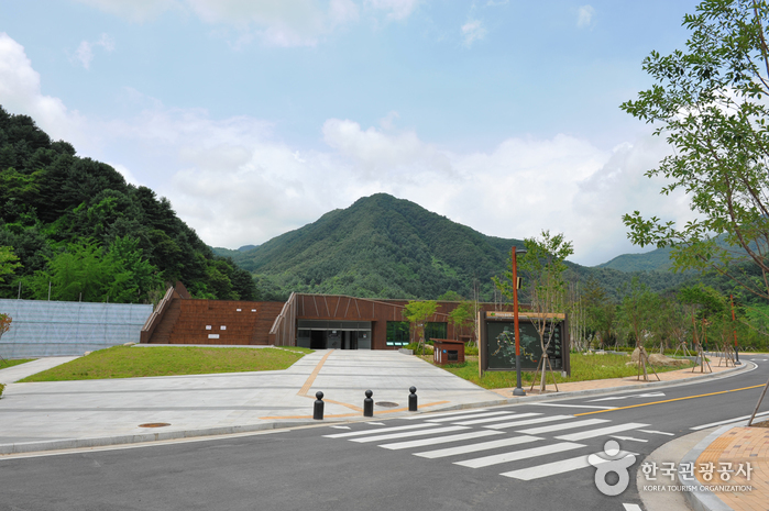 Yeoninsan Provincial Park (연인산도립공원)
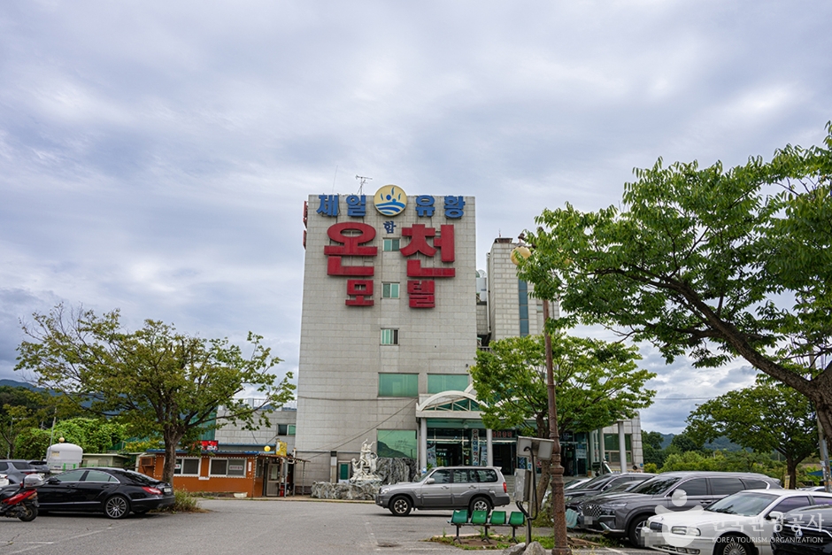 Ildong Jaeil Yuhwang Oncheon (일동제일유황온천)
 Yongchugyegok Valley (용추계곡)
Times and difficulty are estimates from GPS tracks. Before you go, check the weather, sunset time and any trail closures. Course tracks recorded: 2022-01-06
Text on this page was translated automatically from Korean public data. Place names follow the Revised Romanization; signs on the trail are in Korean.
Data: Korea Forest Service and Korea Hiking & Trekking Support Center (Public Data Portal). Course times and difficulty are estimates from GPS tracks (2022).