
Minjujisan 1,242m
Primeval Forest with Slash-and-burn Field Remains
Moderate Hard Spring flowers Valleys Public transport


- Location
- Yeongdong-gun, Chungcheongbuk-do; Muju-gun, Jeollabuk-do; Gimcheon-si, Gyeongsangbuk-do
- Courses
- 3 · 4 h 10 min – 5 h 20 min
- Distance
- 8.8 km – 11.6 km
- Facilities
- Toilets 12 · Parking 4
- Managed by
- Yeongdong-gun Office · 043-742-2101
Trail map
Why it is one of the 100 famous mountains
Selected for commanding high, rugged peaks exceeding 1,000m, blending lush forests and rocks, and housing Mulhangyegok Valley, one of the nation's largest primeval forest valleys. Flowing about 20km from the upstream of Hancheon Village, known for its cold waters, Mulhangyegok Valley is a renowned ecological destination with well-preserved primeval forests. About 50m below the summit to the south sits the Samdu Rock-carved Buddha. The mountain connects to Samdobong Peak, the tri-border point of Chungbuk, Jeonbuk, and Gyeongbuk.
About Minjujisan
Minjujisan (1,241.7m) spans across three provinces: Chungbuk, Gyeongbuk, and Jeonbuk. With Seokkibong Peak and Samdobong Peak rising to the east and Gakhosan Peak towering to the north like wings spreading wide, the mountain commands majestic scenery overlooking the Baekdudaegan ridge. It was recorded as Baegunsan in Donggukyeojiseungram and Daedongyeojido, but was renamed to Minjujisan during the Japanese colonial period.
The Chungcheong-do side hiking trail centered around Mulhangyegok Valley is the longest and most scenic on Minjujisan. Streams flowing from four peaks exceeding 1,000 meters, including Samdobong Peak, merge into Mulhangyegok Valley, providing abundant water and stunning landscapes. Notably, scenic spots along Mulhangyegok Valley include Yongso near Hwangnyongsa Temple, Okso Waterfall, Uiyonggol Waterfall, and Eumjugol Waterfall (Minimi Waterfall). The ridge leading to the summit of Minjujisan via Samdobong Peak and Seokkibong Peak is densely covered with miscellaneous trees, azaleas, and royal azaleas, creating a spectacular sight.
Minjujisan (1,241.7m) is located about 25km southwest of Chupungnyeong, and the trailheads are broadly divided into Hancheon Village to the northeast of the summit and Daebul-ri to the south. Samdobong Peak and Seokkibong Peak are renowned attractions, and east of Seokkibong Peak lies a primeval forest and a slash-and-burn settlement site that offer a glimpse into the lives of past residents. Not far from Mulhan-ri is Hwangnyongsa Temple, built in 1972.
The main ridge leading to Seokkibong Peak and Samdobong Peak turns into a sea of bamboo grass and azaleas in spring, making it a popular route for flower viewing. Unlike other mountains where azaleas grow in dense clusters, the azaleas here distinctively line up along the ridge.
Embracing Mulhangyegok Valley, the mountain features an untainted, deep secluded valley surrounded by dense forests, azaleas, and royal azaleas. Okso Pool, Eungjuam, and Uiyonggok Waterfall form superb sceneries, while Samdobong Peak features the Great Harmony Monument of Samdobong Peak, erected together by residents of Chungbuk, Gyeongbuk, and Jeonbuk.
Courses recommended by the Korea Forest Service
- Mulhan-ri Bus Terminal → Mujimakgol → Seokkibong Junction Saddle → Minjujisan 1 h 50 min
- Daebul-ri Bus Terminal → Valley Junction → Samdu Rock-carved Buddha → Seokkibong Peak → Minjujisan 3 h 30 min
Public transport
Starting points are Yeongdong and Hwanggan.
Yeongdong - Mulhan-ri: Local bus runs 5 times a day (06:20–17:50, ☎043-742-3971)
From Seolcheon-myeon, Muju, a bus heading to Micheon-ri (3 times a day) drops passengers off at the entrance of Daebul-ri
Food, lodging & more (Korea Forest Service data, may change)
● Lodging and Other Information
Around Mulhan-ri, there are about 10 guesthouses/homestays, including Mulhan Sanjang (☎043-743-7644) and Hodunamoo (☎043-745-3475).
Minjujisan Natural Recreation Forest in Jodong-ri (☎043-740-3437)
● Inquiries
Culture and Public Information Division (☎043-740-3203)
Nearby attractions
 Domaryeong Pass (도마령)
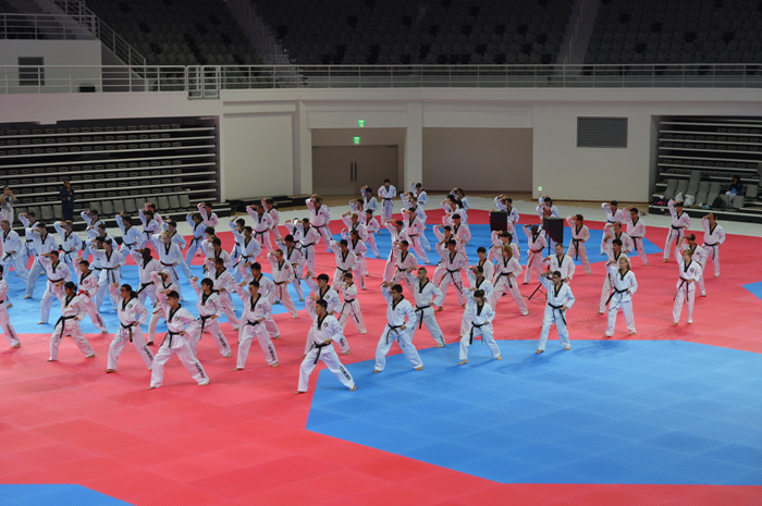 Taekwondowon Spirit Zone (태권도원 상징지구)
Times and difficulty are estimates from GPS tracks. Before you go, check the weather, sunset time and any trail closures. Course tracks recorded: 2022-01-06
Text on this page was translated automatically from Korean public data. Place names follow the Revised Romanization; signs on the trail are in Korean.
Data: Korea Forest Service and Korea Hiking & Trekking Support Center (Public Data Portal). Course times and difficulty are estimates from GPS tracks (2022).