
Manisan 472m
The Mountain Where Historic Kings Offered Sacrifices to Heaven
Moderate Sea views Public transport


- Location
- Hwado-myeon, Ganghwa-gun, Incheon
- Courses
- 3 · 2 h 5 min – 3 h 20 min
- Distance
- 3.2 km – 6.8 km
- Facilities
- Toilets 19 · Parking 6
- Managed by
- Ganghwa-gun Office · 032-930-3114
Trail map
Why it is one of the 100 famous mountains
Selected in consideration of its historical and cultural value as a mountain preserving legends of the founding progenitor Dangun. It features Chamseongdan Altar (Historic Site No. 136), Hamheodongcheon, and Samnangseong Fortress (Historic Site No. 130). It also houses Jeongsusa Temple and Jeondeungsa Temple, which preserve numerous treasures, and serves as the lighting site for the national sacred flame.
About Manisan
It is the highest mountain on Ganghwado Island, the largest island in Gyeonggi-do. Dangun Wanggeom is said to have built Chamseongdan Altar (Historic Site No. 136) on the middle of its three peaks to offer sacrifices to heaven and pray for the well-being of Gojoseon. A few years ago, geomancers pointed to Manisan as the place with the strongest energy (gi). According to a legend in Sinjeung Dongguk Yeoji Seungnam, this is likely rooted in the mountain being written as Manisan but historically pronounced Marisan. It was designated a National Tourist Site in 1977 and has long been a popular scenic destination famed for Chamseongdan Altar.
In addition to its striking rocky beauty, it fulfills the second condition of famous mountains described by Yi Jung-hwan, "facing a great sea," offering views that are second to none. The river-like sea between the Yeomha waterway and Seokmodo Island, the lake-like waters toward Jangbongdo Island, and the vast open sea to the west all offer refreshing vistas.
At the foot of the mountain sits Jeongsusa Temple, founded in 639 (the 8th year of Queen Seondeok of Silla) by Monk Huijeong, making it a great destination for cultural excursions, along with coastal fortifications such as naval bases (jin), garrisons (bo), and beacon mounds (dondae).
On Ganghwado Island, the fifth-largest island in Korea, four mountains over 400 meters—Goryeosan, Hyeolgosan, Jingangsan, and Manisan—rise in a north-south straight line, among which Manisan is the tallest. Early Joseon literature such as Goryeosa, Sejong Sillok Jiriji, and Taejong Sillok records it as Marisan (摩利山) or Duak (頭嶽), meaning "head mountain" or "leader mountain." While the name Marisan is still used interchangeably today, it has long been called Manisan, so there is little need to introduce confusion with the older name.
Manisan is relatively low and close to the Seoul Metropolitan Area, making it easy to visit with a comfortable, familiar feel. Although its elevation is modest, its main ridge consists of rocky crags, allowing hikers to fully enjoy the true thrill of mountain climbing.
Climbing along the slender ridge extending southeast reveals views of the vast West Sea. Ascending 98 stairs from "Gaemiheori" (Ant's Waist), where a national pilgrimage information board is located, leads to Chamseongdan Altar (Historic Site No. 136). The sacred flame is lit here every year for National Foundation Day and the National Sports Festival. Chamseongdan is an altar built on Marisan by Baedal-sin, the master of clouds (Unsa), in the 51st year of Dangun Wanggeom's reign (2283 BC). According to Samguk Sagi, various kings of Goguryeo, Silla, and Baekje held rituals to heaven here. It was repaired during the reign of King Gongmin of Goryeo and during the reigns of King Injo and King Sukjong of Joseon, remaining in its present state today. Built by stacking granite stones, the altar is round at the base and square at the top, standing a total of 6 meters high. Standing atop Chamseongdan, the summit appears close enough to grasp to the east, a wide sea with rolling blue waves unfolds underfoot to the south, and the distant cityscape of Incheon can be faintly seen to the southeast.
On the western mountainside below the summit lie Jeongsusa Temple, founded in 639 (the 8th year of Queen Seondeok of Silla), and Hamheodongcheon, where Master Hamheo meditated. At Hamheodongcheon, water flows over bedrock spanning more than 100 meters, carved with the Chinese characters "涵虛洞天" (Hamheodongcheon) said to have been inscribed by Master Hamheo. Perhaps because Goryeo frequently faced foreign invasions and carried out major Buddhist projects on Ganghwado Island to protect the nation through the power of Buddha, Ganghwado Island is home to many historic temples.
Courses recommended by the Korea Forest Service
- Jeongsusa Temple → Summit → Chamseongdan Altar → Stair Path → National Tourist Site 2 h 15 min
- Hamheodongcheon → Ridge Junction → Summit → Ridge Junction → Jeongsusa Temple 1 h 40 min
- Jingae Village → 314 Peak → Summit → Chamseongdan Altar → 315 Peak → Jageunmoeneomeo → Sangbong Peak → Seonsu Mineral Spring 6 h
Public transport
The starting point is Ganghwa-eup. From the town terminal, take a bus bound for Sangbang-ri (National Tourist Site) or Sagi-ri (Hamheodongcheon). Buses bound for Ganghwa run every 10 minutes from Sinchon (Seoul), every 15 minutes from Yeongdeungpo, and every 20 minutes from Incheon. Buses also operate from Bupyeong and Anyang.
> Ganghwa-eup → Sangbang-ri: Runs 06:00–21:30 at 30–40 minute intervals
> Sagi-ri → Ganghwa-eup: Runs 7 times daily between 06:00–20:25
Food, lodging & more (Korea Forest Service data, may change)
● Lodging and Other Information
Many accommodations are available at the Sangbang-ri Tourist Complex: Pine Hill Inn ☎032-937-9317, Manisan-jang Inn ☎032-937-3123.
In the Sagi-ri area: Carib ☎032-937-3042, Jeongsujang Inn ☎032-937-5732, Hamheodongcheon Campsite ☎032-937-4797.
In Dongmak-ri: Green Park Inn ☎032-937-8845.
● Inquiries
Manisan Management Office ☎032-937-1624
Nearby attractions
- Dongmak Beach (강화 동막해변) 2.9 km from the summit
- Janghwa-ri Sunset Viewing Point (장화리일몰조망지) 5.1 km from the summit
-
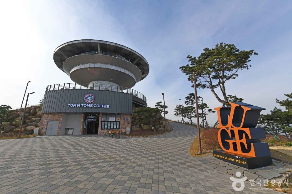 Ganghwa Luge (Ganghwa Seaside Resort) (강화루지(강화씨사이드리조트))
5.5 km from the summit
-
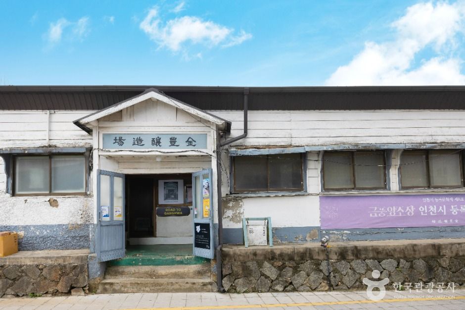 Geumpung Brewery (금풍양조장)
5.7 km from the summit
-
 Haeden Museum (해든뮤지움)
6.4 km from the summit
- Dosol Museum (Hanok Gallery Cafe) (한옥카페 갤러리도솔) 7 km from the summit
Times and difficulty are estimates from GPS tracks. Before you go, check the weather, sunset time and any trail closures. Course tracks recorded: 2022-01-06
Text on this page was translated automatically from Korean public data. Place names follow the Revised Romanization; signs on the trail are in Korean.
Data: Korea Forest Service and Korea Hiking & Trekking Support Center (Public Data Portal). Course times and difficulty are estimates from GPS tracks (2022).