
Juheulsan 1,108m
A Famous Mountain Magnificent Enough to Rival Samgaksan
Moderate Hard Spring flowers Valleys Public transport


- Location
- Mungyeong-eup, Mungyeong-si, Gyeongsangbuk-do
- Courses
- 6 · 2 h 40 min – 7 h 20 min
- Distance
- 4.4 km – 15.1 km
- Facilities
- Toilets 25 · Parking 3
- Managed by
- Mungyeong City Hall · 054-552-3210
Trail map
About Juheulsan
This mountain is so outstanding that legend says it strode down south after competing with Samgaksan to become the guardian mountain of Seoul. The ridge over 1,000 meters stretching from the summit to Nambong Peak is especially rugged, resembling the grand ridge from Baegundae to Bohyeonbong on Samgaksan. Regular hiking trails spread in six directions centered around the 1,075-meter peak known as the summit, among which the ridge line leading past the highest peak, Juheullyeongbong, and Bubong Peak to Donghwawon is superb. The course descending to Haneuljae via Wolhangsambong Peak is also fine, and from Woraksan, the skyline of these two peaks appears dynamic like rhythmic gymnastics ribbons. Because towering peaks dominate the terrain, well-developed valleys are scarce. Instead, Yeogungpokpo Falls and Parangso Pool in Gokchunggol Valley, as well as Kkotbatseodeol in Jogokgol Valley, are unique. Azaleas blooming through the sparse boulder fields are a rare sight. Designated as a provincial park, Mungyeongsaejae is renowned for its nature trails along with its gates: Juheulgwan, Jogokgwan, and Joryeonggwan. In recent years, a drama set and a mountain film festival have been added.
Courses recommended by the Korea Forest Service
- Jatbatjae → Nambong Peak → 1075bong Peak → Daegwolteo → Hyeguksa Temple → Gate 1 5 h 10 min
- Wolboksa Temple → 1075bong Peak → Juheullyeongbong Peak → Bubong Peak → Donghwawon 4 h 50 min
- Gaegeuneul → 1075bong Peak → Juheullyeongbong Peak → Kkotbatseodeol → Gate 2 4 h 45 min
Public transport
Starting Point: Mungyeong
Mungyeong Intercity Bus Terminal → Saejae: Runs 18 times a day
Food, lodging & more (Korea Forest Service data, may change)
● Around Saejae Provincial Park, there are several hotels, youth hostels, motels, and restaurants.
Mungyeong Tourist Hotel: 054-571-8001
● Inquiries
Yeongju National Forest Management Office: 054-636-4240
Mungyeongsaejae Provincial Park Management Office: 054-571-0709 / 550-6421
Nearby attractions
-
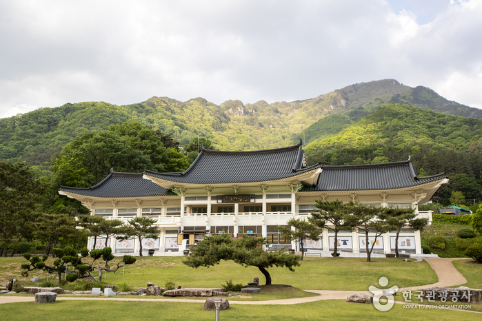 Museum of Old Roads (옛길박물관)
3.5 km from the summit
-
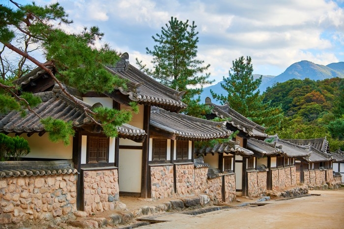 Mungyeongsaejae Open Set (문경새재 오픈세트장)
3.6 km from the summit
-
 Mungyeongsaejae Provincial Park (문경새재도립공원)
3.6 km from the summit
- Mungyeongsaejae Open Set (문경새재 오픈세트장) 3.6 km from the summit
-
 Chungju Mireukdaewon Stone Temple Site (충주 미륵대원지)
3.8 km from the summit
-
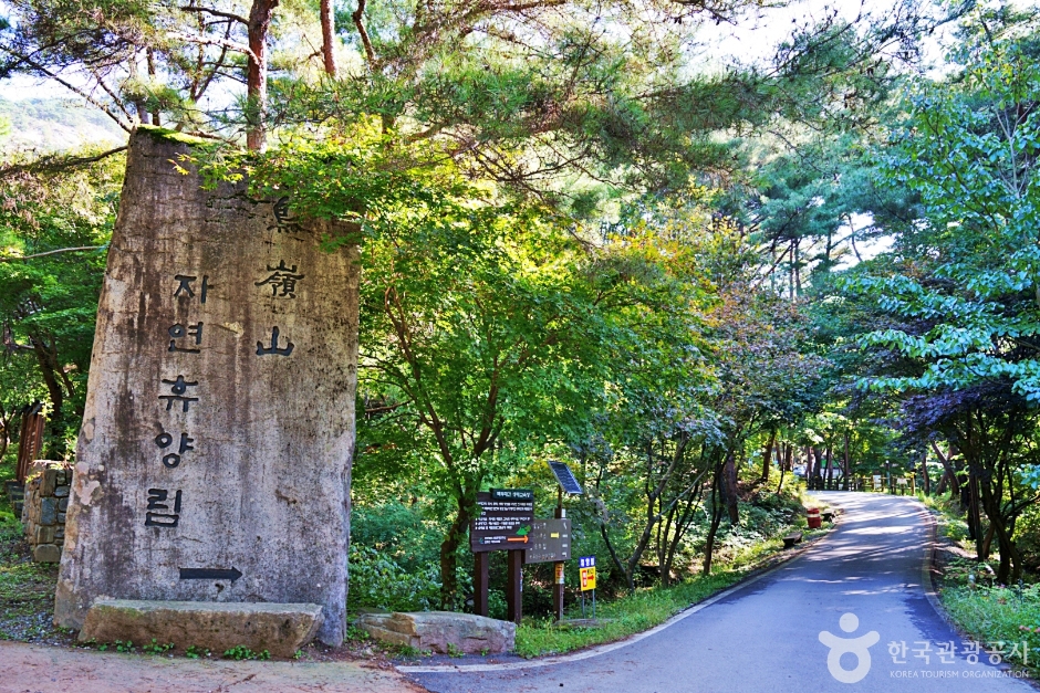 Joryeongsan Recreational Forest (조령산자연휴양림)
5.5 km from the summit
Times and difficulty are estimates from GPS tracks. Before you go, check the weather, sunset time and any trail closures. Course tracks recorded: 2022-01-06
Text on this page was translated automatically from Korean public data. Place names follow the Revised Romanization; signs on the trail are in Korean.
Data: Korea Forest Service and Korea Hiking & Trekking Support Center (Public Data Portal). Course times and difficulty are estimates from GPS tracks (2022).