
Jeoksangsan 1,031m
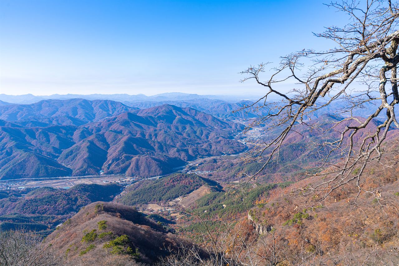
Mountain of Beautiful Autumn Foliage
Hard Valleys Autumn foliage Public transport
- Location
- Jeoksang-myeon, Muju-gun, Jeollabuk-do
- Courses
- 1 · 3 h 50 min – 3 h 50 min
- Distance
- 8 km – 8 km
- Facilities
- Toilets 4 · Parking 5
- Managed by
- Muju County Office · 063-320-2114
Trail map
Why it is one of the 100 famous mountains
Selected for its outstanding scenery—so named because in autumn the entire mountain resembles a woman wearing a red skirt—and for its designation within Deogyusan National Park. It is famous for Anguksa Temple and Jeoksangsanseong Fortress (Historic Site No. 146), which was constructed upon the recommendation of General Choe Yeong after he noted its strategic fortress topography on his return from subjugating Tamna in 1374 (the 23rd year of King Gongmin of Goryeo).
About Jeoksangsan
Standing over 1,000 meters high, the mountain features an unusual topography with a flat summit area. Its western slopes are ringed by red granite cliffs that have drawn people's attention throughout history. In the past, a mountain fortress was built here to house the Annals of the Joseon Dynasty; today, the upper reservoir of a pumped-storage power plant produces electricity equivalent to a nuclear power plant (actually serving as backup in case a nuclear plant halts operations).
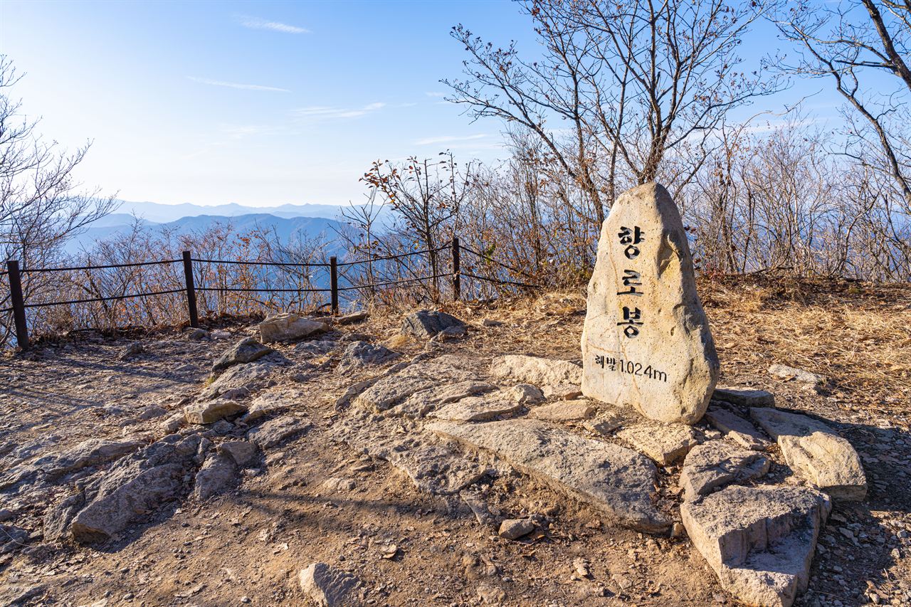
The main peak, Gibong Peak, connects smoothly with Hyangnobong Peak to the north, offering little dramatic peak scenery. Along with distinctive rock formations like Janggunbawi Rock and Jangdobawi Rock, there are Cheonilpokpo Falls and Songdaepokpo Falls, though they do not form an interconnected valley stream. Anguksa Temple was relocated during the construction of the reservoir and has relatively few sights remaining. Thanks to the upper reservoir, a paved road runs well up to the summit area, making it convenient to drive up and enjoy views of Deogyusan.
While folklore claims the name Jeoksangsan ('jeok' meaning red, 'sang' meaning skirt) comes from its autumn foliage looking like a woman's crimson skirt, this is an amusing stretch. What mountain does not turn red in autumn, and what would it be called in other seasons? A more reasonable explanation is that it was originally called Sangsan after Chimabawi Rock, and 'Jeok' was later added to form a more stable two-character name.
Jeoksangsan is enclosed by steep rocky cliffs on all sides, where maples with exceptionally red foliage flourish, giving the mountain the appearance of a woman wearing a red skirt in autumn. Along with natural sights such as Jangdobawi Rock and Janggunbawi Rock, the mountain is home to Jeoksangsanseong Fortress (Historic Site No. 146), said to have been built upon the proposal of General Choe Yeong.
In 1374 (the 23rd year of King Gongmin of Goryeo), General Choe Yeong passed through this area on his return from quelling Tamna, recognized the mountain's topography as an ideal fortress site, and petitioned the king to build a fortress. The present fortress wall was rebuilt in 1628 (the 6th year of King Injo of Joseon) with a circumference of 8.143 km. Historical cultural relics within Jeoksangsanseong Fortress, including the ancient Anguksa Temple, add historical depth for visitors. Anguksa Temple is said to have been founded in 1227 (the 3rd year of King Chungnyeol of Goryeo) by Monk Wol-in, and Hoguksa Temple was founded in 1643 (the 21st year of King Injo of Joseon).
Public transport
The starting base is Muju. Buses bound for Jeonju, Janggye, Ancheon, and Bunam all pass through Jeoksang; the Janggye route runs 28 times daily. Transit to Muju via the Gyeongbu Line is well connected, with 54 runs from Daejeon and 32 runs from Yeongdong. From Seoul Nambu Terminal, express buses run 5 times daily, with additional buses available from Daegu, Gwangju, and Cheongju.
Food, lodging & more (Korea Forest Service data, may change)
● Accommodation & Local Information
Use motels in downtown Muju-eup: Muju Green Motel (063-322-7231), Seoul Parkjang (063-322-2233), Jungang Yeogwan (063-322-2931).
● Inquiries
Deogyusan National Park Office: 063-322-3174~5
Times and difficulty are estimates from GPS tracks. Before you go, check the weather, sunset time and any trail closures. Course tracks recorded: 2022-01-06
Text on this page was translated automatically from Korean public data. Place names follow the Revised Romanization; signs on the trail are in Korean.
Data: Korea Forest Service and Korea Hiking & Trekking Support Center (Public Data Portal). Course times and difficulty are estimates from GPS tracks (2022).