
Hwangseoksan 1,193m
A Remote Mountain Where Even Rotten Hairtail Gathered
Easy Moderate Hard Valleys Autumn foliage Silver grass Public transport

- Location
- Seoha-myeon, Anui-myeon, and Seosang-myeon, Hamyang-gun, Gyeongsangnam-do
- Courses
- 10 · 2 h 10 min – 6 h 10 min
- Distance
- 4 km – 12.8 km
- Facilities
- Toilets 7 · Parking 6
- Managed by
- Hamyang-gun Office · 055-960-5114
Trail map
Why it is one of the 100 famous mountains
Selected for its scenic beauty, including the expansive silver grass fields along the ridge connecting Geomangsan to Hwangseoksan, and historical sites such as Hwangseoksanseong Fortress. During the 1597 Japanese invasion, defenders fought to the last; when the fortress fell, they were killed and women threw themselves from the sheer cliffs, leaving behind the legend that the northern cliffs of Hwangseoksan are stained with blood.
About Hwangseoksan
Hwangseoksan is an extraordinary rocky mountain rising south of Geochang. Among the four mountains branching off from the Baekdudaegan ridge—Gibaeksan, Geumwonsan, Geomangsan, and Hwangseoksan—this soaring peak at the southernmost tip is clearly visible even from Deogyusan. In autumn, the vast silver grass fields along the ridge connecting Geomangsan to Hwangseoksan present a magnificent view.
Between Geumwonsan and Gibaeksan lies the famous Yongchu Valley. Adjacent Geomangsan is where the female partisan commander Jeong Sun-deok was active during the Korean War. Hwangseoksanseong Fortress is an important historical site symbolizing the steadfast spirit and loyalty of the people of Anui, Hamyang. When the fortress fell during the second Japanese invasion in 1597, those resisting until the very end perished, and women threw themselves from the sheer cliffs. Legend has it that the northern rocky bluffs of Hwangseoksan remain blood-stained to this day.
Anui is famous for the eight ponds and eight pavilions of Hwarimdong. In particular, pavilions such as Nongwoljeong, Donghojeong, Geoyeonjeong, and Gunjajeong represent a pavilion culture rivaling that of the Jeolla region.
Hamyang, where Hwangseoksan is located, is a remote backcountry area with relatively inconvenient transport, historically nicknamed a place where even rotten hairtail gathered. Consequently, the mountain preserves pristine, untouched natural beauty.
The trail to the summit of Hwangseoksan offers stunning silver grass ridges, and upon reaching the top, the elegant beauty of twin rock peaks eases the fatigue of the climb. The traverse to adjacent Geomangsan also features superb scenery, but since there are dangerous rocky sections along the way, it is safer to carry an auxiliary rope of about 20 meters.
Courses recommended by the Korea Forest Service
- Ujeon Village → Sigumok-gil → Hwangseoksan → Mangwoldae → Yudong Village 4 h
- Samgeori → Takgogae → Sannaegol → Hwangseoksan → Seohagyo Bridge 4 h 30 min
- Yongchugyo Bridge → Yongchu Falls → Yongchusa Temple → Jeongjabeol Entrance → Ridge → Main Ridge → Geomangsan Summit → Hwangseoksan → Ujeon → Bongjeon Geoyeonjeong 6 h 40 min
Public transport
The starting point is Hamyang.
From Geochang, buses run to Anui every 30 minutes, and to Yongchusa Temple every 1 hour.
- Hamyang → Anui: 12 times a day
- Hamyang → Yongchusa Temple: Runs every 1 hour
Food, lodging & more (Korea Forest Service data, may change)
● Food, Lodging & Other Info
Many accommodations are available near Yongchusa Temple and Yongchu Falls.
Yongchu Natural Recreation Forest ☎055-963-9611
Chorok Sanjang ☎055-963-5009
Yongchu Pension ☎055-964-0708
Jangsu Sanjang ☎055-963-8708
● Inquiries
Hamyang-gun Office Tourism Division ☎055-960-0544
Nearby attractions
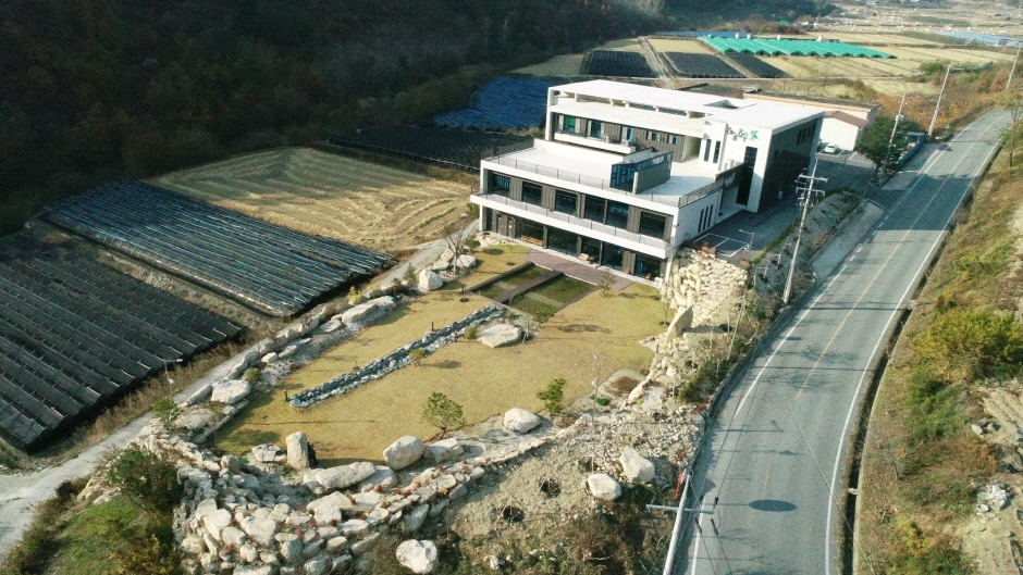 Skylake (하늘호수)
Times and difficulty are estimates from GPS tracks. Before you go, check the weather, sunset time and any trail closures. Course tracks recorded: 2022-01-06
Text on this page was translated automatically from Korean public data. Place names follow the Revised Romanization; signs on the trail are in Korean.
Data: Korea Forest Service and Korea Hiking & Trekking Support Center (Public Data Portal). Course times and difficulty are estimates from GPS tracks (2022).