
Huiyangsan 996m
A massive rocky mountain rivaling Ulsanbawi Rock of Seoraksan
Moderate Hard Valleys Public transport

- Location
- Yeonpung-myeon, Goesan-gun, Chungcheongbuk-do / Gaeun-eup, Mungyeong-si, Gyeongsangbuk-do
- Courses
- 8 · 3 h – 6 h 5 min
- Distance
- 5.6 km – 14.2 km
- Facilities
- Toilets 1 · Parking 4
- Managed by
- Goesan County Office · 043-830-3114
Trail map
Why it is one of the 100 famous mountains
Selected because the entire mountain appears as one giant white rock cliff that stands out distinctly even from distant peaks, boasting superb landscapes such as Baegungok Valley with uniquely shaped rocks and plentiful water flow, as well as historical sites including a rock-carved seated Buddha statue.
About Huiyangsan
Huiyangsan (999m) is a sacred rocky peak rising high along the Baekdudaegan ridge on the border between Gaeun-eup, Mungyeong-si, Gyeongsangbuk-do, and Yeonpung-myeon, Goesan-gun, Chungcheongbuk-do. Although lower than nearby Joryeongsan (1,026m) or Baekhwasan (1,064m), it is by far the most prominent in sheer beauty. Silla-era monk Jijeungdaesa (824–884), who founded Bongamsa Temple on Huiyangsan, reportedly praised its appearance saying, ""The mountain surrounds all four sides like a folding screen, resembling the wings of a phoenix soaring into the clouds, and the valley waters wind like a hundred layers of sashes, resembling a dragon lying low against the stones.""
The view from the summit is magnificent and beautiful. Below your feet lies Bongamsa Temple and the Bongamyonggok Valley, and beyond rise the sharp ridges of Daeyasan and Songnisan. To the west, inland Chungbuk peaks like Jangseongbong, Akhuibong, and Gunjasan encircle like a screen. To the northeast, the endlessly unfolding ridges of Baekhwasan, Undalsan, and Juheulsan are as beautiful as blooming lotus petals.
Spanning Goesan in Chungbuk and Mungyeong in Gyeongbuk, Huiyangsan boasts an imposing presence that appears as if sculpted from a single massive rock. North from the summit, the terrain leads to Sirubong Peak, and west toward Guwangbong Peak, easing its fierce momentum, while the exposed rock faces to the southeast and southwest offer ideal rock climbing routes, with several established paths already in place.
The massive granite cliff surrounding the peak like a folding screen rivals Ulsanbawi Rock of Seoraksan, and the 200m slab and rock face at its base are more than enough to inspire awe. Below the summit to the south lies the historic Bongamsa Temple, while the exquisite scenery of Okseokdae and the surrounding Okseokgyegok Valley provides another highlight to the hike.
※ The hiking course passing through Bongamsa Temple is strictly restricted to general public access by the temple.
Courses recommended by the Korea Forest Service
- Eunti Village → Sirubong Saddle → Fortress Wall Site → Summit 3 h
Public transport
The starting point is Yeonpung.
Local buses from Yeonpung to Eunti Village run 3 times a day at 08:10, 13:10, and 18:50. This bus departs from Goesan (☎ Aseong Transportation 043-834-3025).
- Dong Seoul → Chungju: 20 times daily > Chungju → Yeonpung: 15 times daily
- Dong Seoul → Goesan: 12 times daily
Food, lodging & more (Korea Forest Service data, may change)
● Lodging and other information
Meals and homestays are available at the Eunti Village Women's Association Market (☎ 043-833-5708).
There are many accommodations in Wonpung-ri.
Saejae Park ☎ 043-833-8901
Shimteo Minbak ☎ 043-833-6869
Sangurim Hotel ☎ 043-833-8818
● Inquiries
Forest Tourism Division ☎ 043-830-3727
Nearby attractions
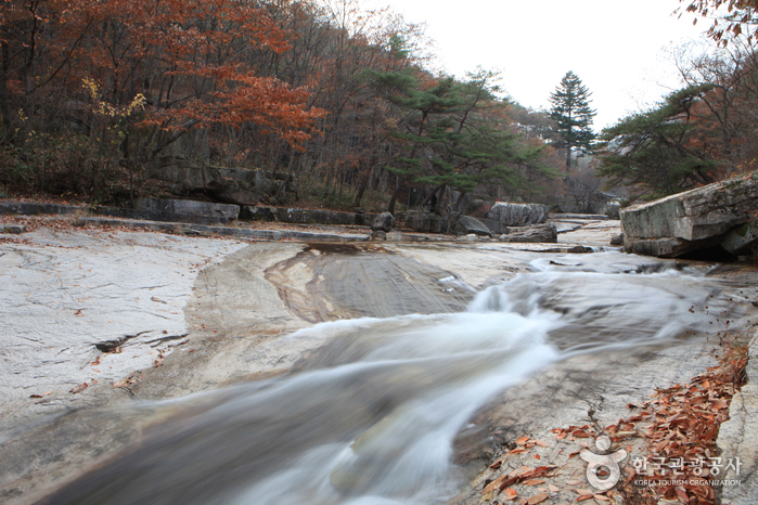 Mungyeong Seonyudonggyegok Valley (선유동계곡(문경))
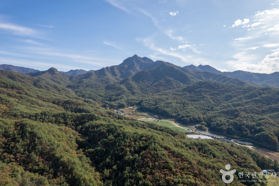 Daeyasan Mountain (대야산)
 Mungyeong Eco World (문경에코월드)
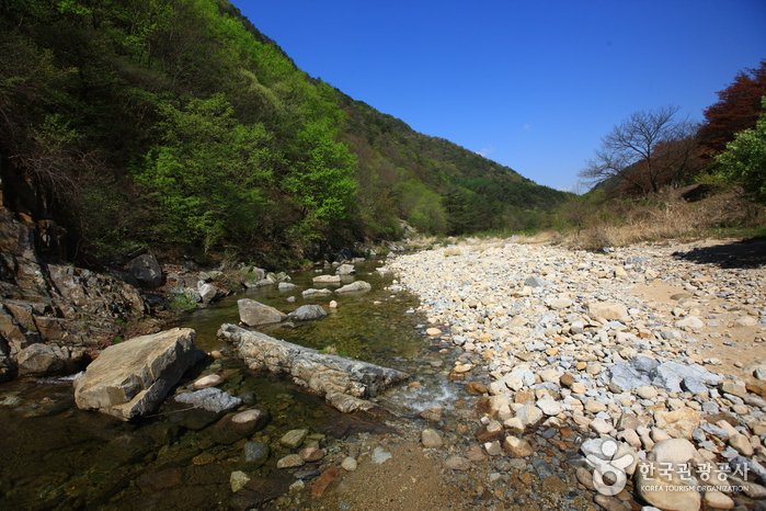 Ssanggok Valley (쌍곡구곡)
Times and difficulty are estimates from GPS tracks. Before you go, check the weather, sunset time and any trail closures. Course tracks recorded: 2022-01-06
Text on this page was translated automatically from Korean public data. Place names follow the Revised Romanization; signs on the trail are in Korean.
Data: Korea Forest Service and Korea Hiking & Trekking Support Center (Public Data Portal). Course times and difficulty are estimates from GPS tracks (2022).