
Gyeryongsan 847m
A mountain prophesied in Jeonggamnok to host a new royal capital
Easy Moderate Hard Spring flowers Valleys Autumn foliage Snow scenery Sunrise Public transport


- Location
- Daejeon; Gyeryong-myeon, Gongju-si; Sangwol-myeon, Nonsan-si; Sindoan-myeon, Gyeryong-si, Chungcheongnam-do
- Courses
- 5 · 1 h 35 min – 3 h 50 min
- Distance
- 3.1 km – 8.3 km
- Facilities
- Toilets 22 · Parking 9
- Managed by
- Gongju City Hall · 1899-0088
Trail map
Why it is one of the 100 famous mountains
Historically designated as Seoak (West Peak) among the Five Sacred Peaks of Silla and as Jungak (Central Peak) among the Three Peaks of Joseon, it was designated as a National Park in 1968. The name Gyeryongsan originates from its ridge resembling a dragon wearing a rooster's crest. It is counted among the Ten Blessed Sites mentioned in the "Jeonggamnok." It is also renowned for Donghaksa Temple, founded in 724 by Monk Hoeui during the reign of King Seongdeok of Silla, and Gapsa Temple, founded in 420 by Monk Ado of Goguryeo during the reign of King Guisin of Baekje.
About Gyeryongsan
Gyeryongsan is the foremost celebrated mountain of Chungcheongnam-do, embracing splendid mountain scenery, the sacred site of Sindoan, and historic temples. It was counted among the Five Sacred Peaks of the Silla period, and in the Joseon period, it was a sacred mountain where mountain god rituals were held alongside Myohyangsan and Jirisan.
The ridge beauty leading from the main peak, Cheonhwangbong Peak, to Ssalgaebong Peak is unmatched. The name Gyeryong arose because this ridge resembles a dragon head crested like a cock's comb with a raised center.
Attractions such as Yongyuso Pond, Iilcheon, Baengnyonggang, Dalmuntaek, Gunjataek, Myeongwoldam, Gyeryong Myeongam, and Sujeongbong Peak dot the area. Valley scenery is also magnificent, seen in Eunseon Falls (one of the 10 Views of Gyeryong), Yongmun Falls in Gapsa Valley (a venue for shamanic rituals due to its spiritual power), and Sindoan Yongchu Falls.
Harmonizing waterfalls and steep rock cliffs, Gyeryongsan is also famed for autumn foliage. The section leading through Donghaksa Valley, Nammaetap Pagoda, Sambulbong Peak, and Gwaneumbong Peak, which peaks in late October, is the highlight.
Ancient temples in all directions—Donghaksa Temple in the east, Gapsa Temple in the west, and Sinwonsa Temple in the south—hold many cultural heritages. Among them, Gapsa Temple, which preserves one National Treasure and four Treasures, Sameungak Shrine housing three loyal subjects of late Goryeo, and Donghaksa Temple are essential visits.
Branching off from the Geumnam-jeongmaek ridge of Baekdudaegan, Gyeryongsan forms the boundary between Gongju-si and Nonsan-si in Chungnam. It is said to have received the name Gyeryongsan because the mountain shape looks like a dragon wearing a rooster's crest.
Famous for the prophecy of a future royal capital in the early Joseon book "Jeonggamnok," the main ridge features Cheonhwangbong Peak at its center, flanked by Ssalgaebong Peak (830.6m), Gwaneumbong Peak (765.8m), Munpilbong Peak (735.6m), Sambulbong Peak (777.1m), and Yeoncheonbong Peak (742.9m). Cultural heritage sites are scattered throughout its foot: Donghaksa Temple to the northeast, Gapsa Temple to the northwest, and Sinwonsa Temple to the southwest. Gapsa Temple particularly retains cultural assets including Treasure No. 257 (Budo Stupa), Treasure No. 256 (Iron Flagpole and Pillars), and Treasure No. 478 (Bronze Bell), along with woodblocks used to print "Worinseokbo". "Worinseokbo" was published by King Sejo in 1459 by combining "Seokbosangjeol" (published in the 29th year of King Sejong, 1447) and "Worincheongangjigok" (published in the 31st year of King Sejong).
Around the main peak, Donghaksa Temple to the east, Gapsa Temple to the west, and Sinwonsa Temple to the south remain well preserved, while only the temple site remains of Guryongsa Temple to the north. Gyeryongsan is home to 1,227 rare flora and fauna species such as roe deer, martens, red squirrels, and Japanese kerria. The Eight Views of Gyeryong—Sunrise at Cheonhwangbong Peak, Snowscape at Sambulbong Peak, Sunset at Yeoncheonbong Peak, Drifting Clouds at Gwaneumbong Peak, Fresh Verdure of Donghak Valley, Mist at Eunseon Falls, Autumn Leaves in Gapsa Valley, and Bright Moon at Nammaetap Pagoda—create grand spectacles together with dense forests and rocky bluffs.
Courses recommended by the Korea Forest Service
- Gapsa Temple → Yeoncheonbong Peak → Gwaneumbong Peak → Sambulbong Peak → Nammaetap Pagoda → Keunbaejae Pass → Sangsin-ri 4 h 40 min
- Donghaksa Temple → Eunseon Falls → Gwaneumbong Peak → Sambulbong Peak → Sinseonbong Peak → Janggunbong Peak → Bakjeongja Samgeori 9 h 40 min
- Sinwonsa Temple → Gowangam Hermitage → Yeoncheonbong Peak → Sambulbong Peak → Nammaetap Pagoda → Donghaksa Temple 3 h 10 min
Public transport
Base points are Gongju and Daejeon. To Gongju, buses run every 30 minutes from Dong Seoul Terminal and 52 times a day from Seoul Nambu Terminal. Direct buses are also available from Incheon, Daejeon, Suwon, Seongnam, Cheongju, Wonju, and various locations across Chungnam.
> Daejeon → Gapsa Temple, Donghaksa Temple: Frequent service
> Gongju → Gapsa Temple, Sinwonsa Temple: Frequent service
Food, lodging & more (Korea Forest Service data, may change)
● Lodging and Dining
Many accommodations and restaurants are near the entrances of Gapsa Temple, Donghaksa Temple, and Sinwonsa Temple.
Around Gapsa Temple (Jungjang-ri): Gyeryongsan Gapsa Youth Hostel ☎041-856-4666, Gapsa Minbak ☎041-857-3234
Around Donghaksa Temple (Hakbong-ri): Gyeryong Sanjang Yeogwan ☎041-825-4019, Gungjeon Motel ☎041-825-7840
Around Sinwonsa Temple (Yanghwa-ri): Sinwonjang Yeogwan ☎041-852-4405
● Inquiries
Gyeryongsan National Park Office ☎042-825-3002
Nearby attractions
-
 Donghaksagyegok Valley (동학사계곡)
1.3 km from the summit
-
 Gyeryongsan National Park (계룡산국립공원)
2.1 km from the summit
-
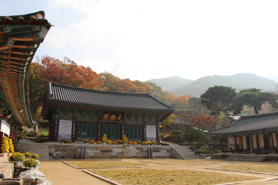 Gapsa Temple (갑사)
2.1 km from the summit
-
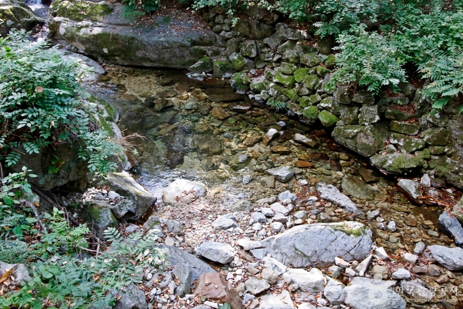 Gapsagyegok Valley (갑사계곡)
2.6 km from the summit
-
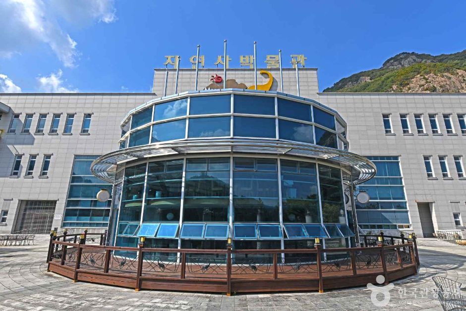 Korean Natural History Museum (한국자연사박물관)
3.2 km from the summit
-
 Gyeryongsan Ceramics Village (계룡산 도자예술촌)
3.3 km from the summit
Times and difficulty are estimates from GPS tracks. Before you go, check the weather, sunset time and any trail closures. Course tracks recorded: 2022-01-06
Text on this page was translated automatically from Korean public data. Place names follow the Revised Romanization; signs on the trail are in Korean.
Data: Korea Forest Service and Korea Hiking & Trekking Support Center (Public Data Portal). Course times and difficulty are estimates from GPS tracks (2022).