
Geumsusan 1,016m
Dazzling Autumn Silk Mountain
Easy Moderate Hard Spring flowers Valleys Autumn foliage Snow scenery Public transport


- Location
- Susan-myeon, Jecheon-si and Jeokseong-myeon, Danyang-gun, Chungcheongbuk-do
- Courses
- 6 · 1 h 25 min – 6 h
- Distance
- 3.2 km – 14 km
- Facilities
- Toilets 11 · Parking 21
- Managed by
- Jecheon City Hall · 043-641-5114
Trail map
Why it is one of the 100 famous mountains
Selected for its location at the northern end of Woraksan National Park, its lush pine forests, and scenic clear streams. It is particularly famous for royal azaleas in spring and colorful leaves in autumn, and is home to Neunggang Valley and Eoreumgol Valley. The summit offers panoramic views of the grand Sobaeksan ridge and Chungjuho Lake.
About Geumsusan
Geumsusan (1,015.8m) boasts beautiful mountain topography, deep valleys, and scenic rocky cliffs that attract hikers throughout the four seasons. It displays beauty in every season, from lush greenery that looks like laid silk, clear flowing streams, cascading waterfalls pouring into stone basins, to seasonal flowers, autumn foliage, and winter snowscapes. Geumsusan was originally called Baegunsan. It is said that Toegye Yi Hwang, who served as the magistrate of Danyang-gun, was captivated by its beauty and renamed it Geumsusan, meaning 'mountain as beautiful as embroidered silk.'
Bordering Cheongpungho Lake, Geumsusan features a relatively long ridge extending north toward downtown Jecheon and south to Malmoksan in Danyang. Several peaks measuring 700 to 800 meters above sea level lie along the main ridge, including Jakseongsan, Dongsan, and Malmoksan. Branch ridges extending to the west host striking peaks such as Jungbong, Sinseonbong, Jeoseungbong, and Mangdeokbong.
Geumsusan is shaped like embroidered silk, true to its name. Located at the northernmost point of Woraksan National Park, the mountain was originally called Baegaksan. During the mid-Joseon period, Toegye Yi Hwang marveled at the outstanding scenery during his time as the magistrate of Danyang-gun and renamed it Geumsusan. It is a scenic rocky mountain with exceptional autumn foliage, and a mysterious mountain where you can encounter winter even in spring.
In Eoreumgol Valley, ice forms until early April and does not melt until Cheoseo (late August); turning over rocks to a depth of about 30 cm reveals chestnut-sized ice chunks well into autumn, adding to its natural wonder. The main ridge of Geumsusan features a thrilling rocky crest reminiscent of shark teeth.
Halfway up the mountain, a spring steadily flows from rock crevices through drought and monsoon, quenching hikers' thirst. Walking entranced by the serene scenery at every step leads you to the summit. Looking down from the peak, the open mountain range and the blue waters of Chungjuho Lake blend together like delicate colors on Korean traditional paper.
Courses recommended by the Korea Forest Service
- Neunggang-ri → Eoreumgol → Eoreumgoljae → Summit → Baegundong Ticket Office 5 h 40 min
- Sanghak-ri → Jeolgol, Salbawigogae Pass → Summit → Yongdam Waterfall 3-way Intersection → Baegundong Ticket Office 2 h 50 min
Public transport
The starting point is Jecheon.
Buses to the Sangcheon-ri Chogyeongdong terminus depart from in front of Geumyong Apartment in Jecheon at 05:40, 06:40 (weekends/holidays only), 12:20, and 16:20.
Departures from terminus to Jecheon: 07:00, 13:40, 17:40. Jecheon to Danyang Sanghak Village: 06:30 to 19:40, runs at 1-hour intervals. Take the bus bound for Hajin, Jeokseong-myeon.
Food, lodging & more (Korea Forest Service data, may change)
● Food, Lodging, and Other Info
Lodging and dining options are available near the entrance of Baegundong in Sangcheon-ri.
Sangcheon Rest Area (043-651-3735) provides accommodation, meals, and guesthouse arrangements; Geumsusan Restaurant (043-653-2558) is also available.
● Inquiries
Culture and Public Information Division: 043-640-5681~6
Nearby attractions
-
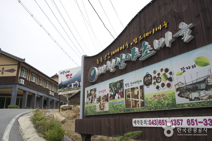 Jecheon Wild Herb Village (제천 산야초마을)
3.1 km from the summit
- National Center for Forest Therapy, Jecheon (국립제천치유의숲) 3.3 km from the summit
-
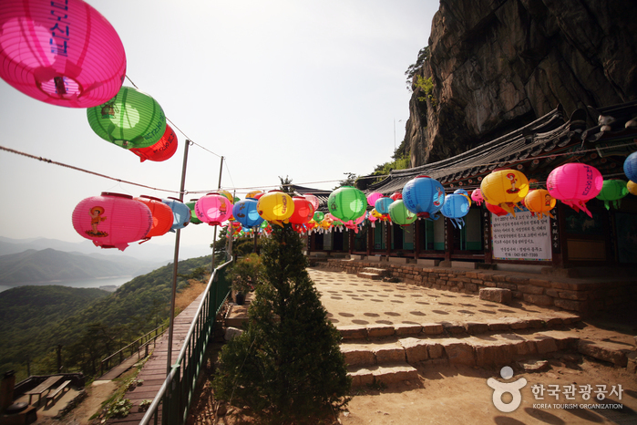 Jeongbangsa Temple (정방사)
4.7 km from the summit
-
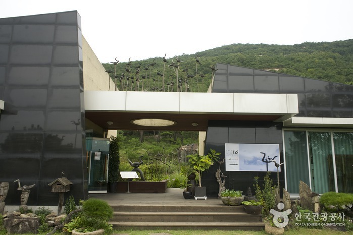 Neunggang Sotdae Art Museum (능강솟대문화공간)
5 km from the summit
- Jecheon Oksunbong Suspension Bridge (제천 옥순봉 출렁다리) 5.1 km from the summit
-
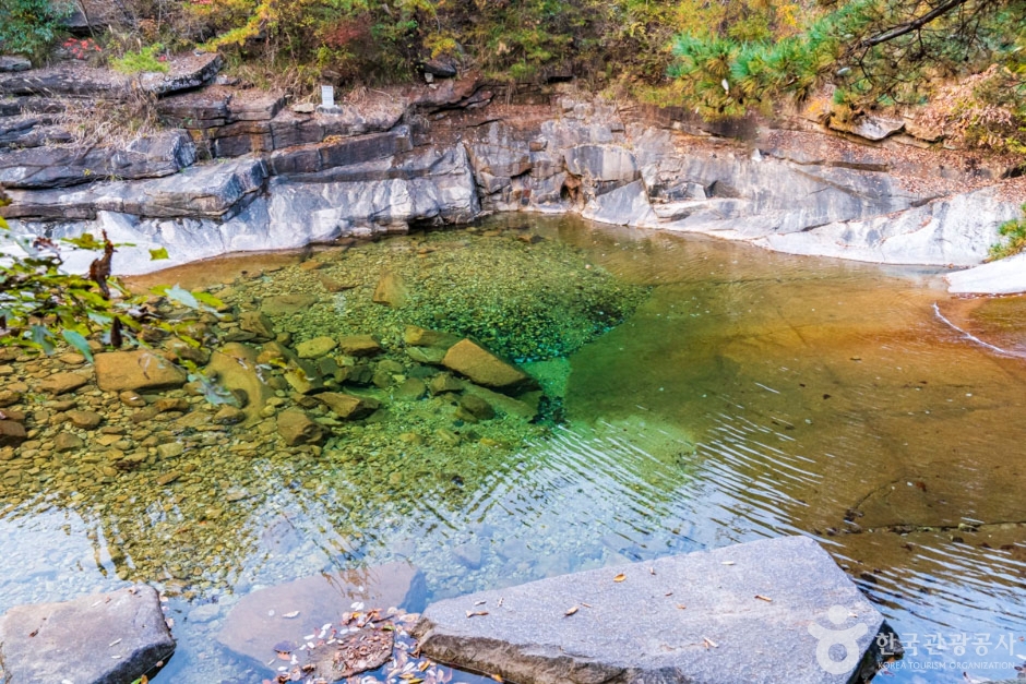 Neungganggyegok Valley, Eoreumgol Valley (능강계곡, 얼음골)
5.3 km from the summit
Times and difficulty are estimates from GPS tracks. Before you go, check the weather, sunset time and any trail closures. Course tracks recorded: 2022-01-06
Text on this page was translated automatically from Korean public data. Place names follow the Revised Romanization; signs on the trail are in Korean.
Data: Korea Forest Service and Korea Hiking & Trekking Support Center (Public Data Portal). Course times and difficulty are estimates from GPS tracks (2022).