
Geumsan 705m
The mountain Yi Seong-gye promised to cover in silk
Moderate Sunrise Sea views Public transport
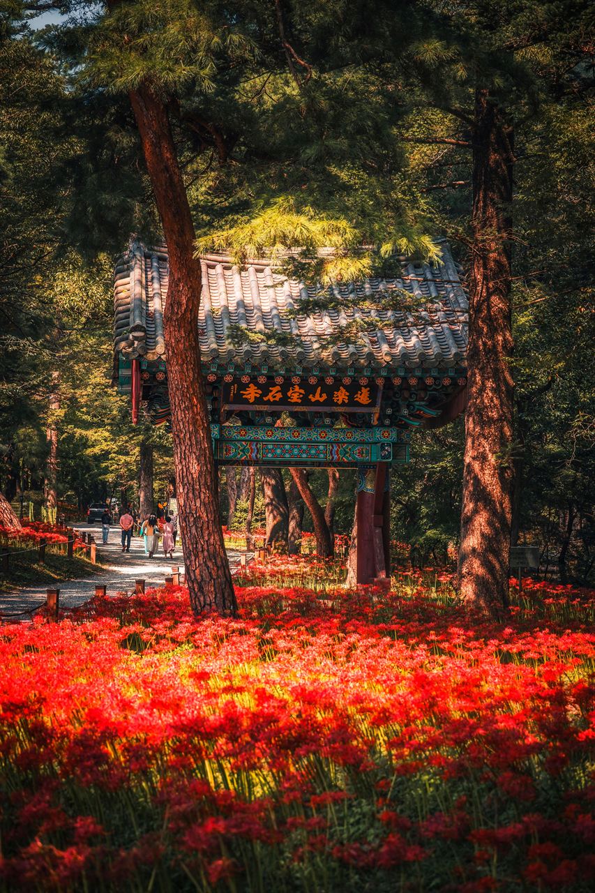
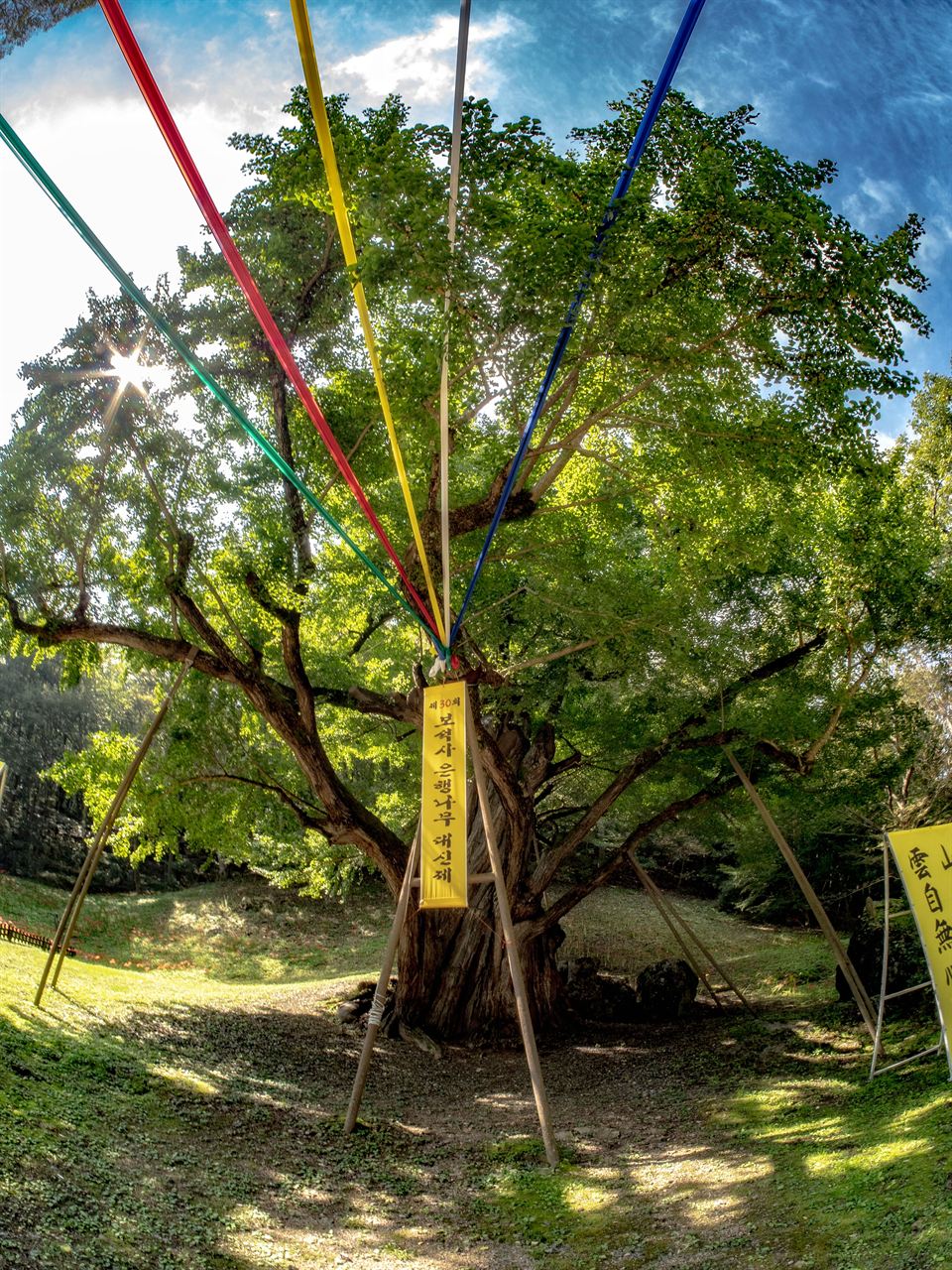

- Location
- Sangju-myeon, Idong-myeon, Samdong-myeon, Namhae-gun, Gyeongsangnam-do
- Courses
- 1 · 3 h 45 min – 3 h 45 min
- Distance
- 7.7 km – 7.7 km
- Facilities
- Toilets 2 · Parking 2
- Managed by
- Namhae County Office · 055-860-3114
Trail map
Why it is one of the 100 famous mountains
Selected for its outstanding scenery as the only mountainous area in Hallyeohaesang National Park, offering expansive views of the sea, islands, and sunrise, and designated as a Gyeongsangnam-do Monument (1974).
Originally called Bogwangsan, its name was changed to Geumsan according to a legend related to King Taejo of Joseon.
Famous for its 38 scenic views, including the Yi Taejo Altar where King Taejo prayed, Sajam Rock, Chokdaebong Peak, and Hyangnobong Peak, the summit also houses Boriam Temple, one of the three major prayer sanctuaries in Korea.
About Geumsan
In Namhae, there is a mountain wrapped in silk—Geumsan, named after the Chinese character for silk (錦, geum) and mountain (山, san).
Geumsan was originally called Bogwangsan after Bogwangsa Temple, built on its slopes by Monk Wonhyo. Before becoming king, Yi Seong-gye prayed on this mountain, promising to wrap the entire mountain in silk if he became king.
Worrying about the enormous task of covering the vast mountain with real silk, he fulfilled his promise by using the character for silk (錦) to rename the mountain Geumsan. Climbing Geumsan reveals Boriam Temple (said to have been founded by Monk Wonhyo in the 3rd year of King Sinmun of Silla), a three-story stone pagoda made with stones brought from Ayodhya, India by Queen Heo, wife of King Suro of Gaya, as well as unique rocks and cliffs such as Gwaneumbong Peak, Hwaeombong Peak, Irwolbong Peak, Jara Rock, Jwaseondae Rock, Sangsabawi Rock, Busoam Hermitage, Ssanghongmun Gate, and Mangwoldae Platform.
From the summit of Geumsan, the view is so spectacular that on clear days, all 38 Scenic Sights of Geumsan can be seen.
Geumsan is the representative mountain of Namhae Island. While Hallyeohaesang National Park consists almost entirely of sea areas, Geumsan is the only mountain included within the marine park.
Geumsan is famous as the mountain almost covered in silk. Its original name was Bogwangsan. Aspiring to become king, Yi Seong-gye offered a 100-day prayer at the 'Yi Taejo Altar' beneath Boriam Temple, promising to cover the mountain in silk if he succeeded. After founding the Joseon Dynasty, he was perplexed about how to keep his promise.
At that time, a thoughtful court official suggested that bestowing a royal name upon the mountain would endure longer than silk. By renaming the mountain Geumsan using the character for silk (錦), Yi Seong-gye ingeniously fulfilled his vow.
To the left of the hiking trail leading from the ticket office to Boriam Temple, Saseondae Terrace can be seen. Saseondae is where four Taoist immortals from the cardinal directions once played on a small rocky peak. Opposite Saseondae is Manjangdae, an imposing sheer cliff.
Courses recommended by the Korea Forest Service
- Bokgok Ticket Office → Boriam Temple → Peak → Sangju-ri 2 h 30 min
- Namhae Hinoki Cypress Natural Recreation Forest → Geumsan Guard Post 1 → Peak → Ssanghongmun Gate → Geumsan Ticket Office 3 h
Public transport
The starting point is Namhae.
Take a local bus bound for Sangju or Mijo from Namhae Public Terminal and get off at Geumsan.
- Namhae → Sangju, Mijo: runs every 30-40 min
- Namhae → Bokgok: runs 4 times daily
Food, lodging & more (Korea Forest Service data, may change)
● Lodging & Facilities
Inns and guesthouses are located around Sangju-ri.
Sangju Minbak Village (☎055-862-6051)
Sangju Yeogwan (☎055-863-0807)
Taeyangjang Yeogwan (☎055-862-9955)
Dongbujang Yeogwan (☎055-863-1453)
● Inquiries
Hallyeohaesang National Park Office ☎055-863-3521
Nearby attractions
- Namhae Geumsan Boriam Hermitage (금산 보리암(남해)) 0.2 km from the summit
- Wind Trace Art Museum (바람흔적미술관) 2.8 km from the summit
- Sangju Silver Sand Beach (상주 은모래비치) 3.6 km from the summit
- Nodo Island (Kim Manjung Historic Site) (노도(김만중유허지)) 4.9 km from the summit
-
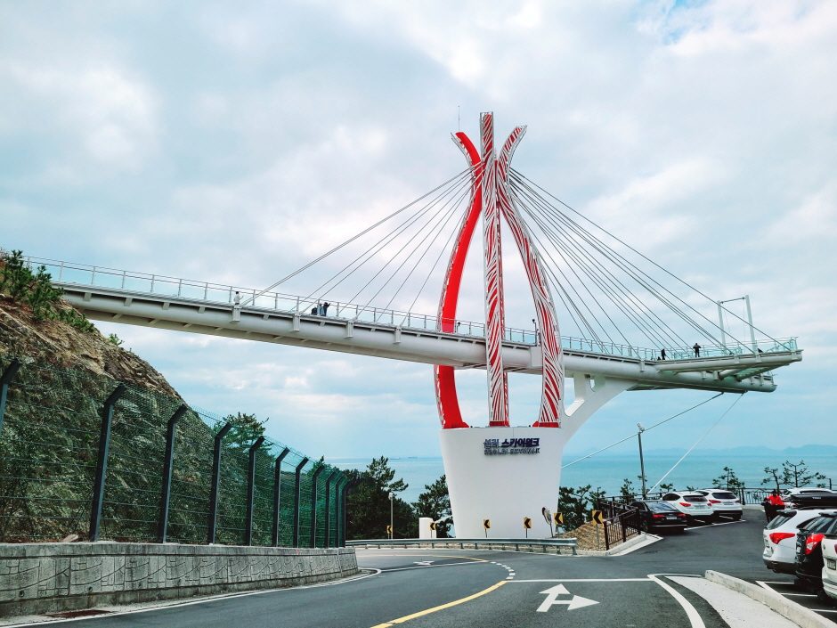 Seolli Skywalk (설리스카이워크)
6.2 km from the summit
- Yongmunsa Temple (Namhae) (용문사(남해)) 6.6 km from the summit
Times and difficulty are estimates from GPS tracks. Before you go, check the weather, sunset time and any trail closures. Course tracks recorded: 2022-01-06
Text on this page was translated automatically from Korean public data. Place names follow the Revised Romanization; signs on the trail are in Korean.
Data: Korea Forest Service and Korea Hiking & Trekking Support Center (Public Data Portal). Course times and difficulty are estimates from GPS tracks (2022).