
Gayasan 1,433m
A Buddhist Sacred Site Blossoming Like a Lotus
Easy Moderate Spring flowers Valleys Sea views Public transport


- Location
- Hapcheon-gun and Geochang-gun, Gyeongsangnam-do; Seongju-gun, Gyeongsangbuk-do
- Courses
- 5 · 1 h 30 min – 3 h 30 min
- Distance
- 2.3 km – 6.3 km
- Facilities
- Toilets 3 · Parking 8
- Managed by
- Seongju County Office · 054-933-0021
Trail map
Why it is one of the 100 famous mountains
Designated as a national park in 1972, Gayasan has long been celebrated as one of Korea's 12 great mountains and 8 scenic wonders. It was selected for its high historical and cultural significance, housing Haeinsa Temple and the Tripitaka Koreana (Palman Daejanggyeong), designated as a UNESCO World Heritage in 1995. The mountain was historically part of the ancient Gaya territory, and the historical geography book Taengniji likened its rocky crags to soaring flames, calling it Seokhwaseong. It provides commanding panoramic summit views and is noted for Yongmun Falls and Hongnyudong Valley.
About Gayasan
Straddling the border between Gyeongsangnam-do and Gyeongsangbuk-do, Gayasan is a rare peak exceeding 1,400 meters despite lying off the Baekdudaegan ridge. True to its role as the guardian mountain of the Gaya confederacy, its foothills once held Daegaya (Hapcheon and Goryeong), Goryeonggaya, Seongsangaya, and Gimcheon.
The summit area and Maehwasan to the south are blanketed with rocky crags, placing it among Korea's premier peaks. Connecting them are the forested ridges of Duribong Peak, Gitdaebong Peak, Maryeong Pass, and Danjibong Peak, which feed clear streams year-round through the Hongnyudong Valley. With the UNESCO World Heritage Tripitaka Koreana nestled in its embrace, Gayasan harmonizes craggy peaks, lush valleys, and profound history.
Taking a bus to Chiin-ri just to hike to the summit and see Haeinsa Temple barely scratches the surface. A far richer experience starts at Cheongnyangsa Temple on Maehwasan, looping along the outer mountain rim over 26 km and 3 days and 2 nights.
From that vantage, the three National Treasures and five Treasures of this Dharma-jewel temple emerge in an entirely new light...
Gayasan encompasses Gaya-myeon in Hapcheon-gun, Gabuk-myeon in Geochang-gun, and Gacheon-myeon and Suryun-myeon in Seongju-gun. Celebrated as one of Korea's 12 celebrated mountains and 8 scenic wonders, it is revered for its majestic topography. As the ancient Gaya confederacy's highest and most prominent mountain, it naturally came to bear the name Gaya.
Also called Udusan for its resemblance to an ox head (complete with Ubijeong, a spring meaning 'ox nose' beneath a large rock near the summit), it has also been known as Sangwangsan, Seolsan, and Junghyangsan. The classical text Taengniji likened its rock formations to flames, calling it Seokhwaseong (Stone Fire Star). Depending on the perspective, it looks like a blossoming lotus, and when white clouds blanket the valleys below, its western peaks resemble islands rising above the sea.
High peaks over 1,000 meters rise like flames, offering panoramic views spanning the Deogyusan range and the distant silhouette of Jirisan above the clouds, along with the scenic Hongnyudongcheon Valley below. From the summit of Gayasan, one can gaze out at Geumosan, Palgongsan, Biseulsan, Hwawangsan, and Jagulsan, as well as nearby Dumusan, Odosan, and Bigyesan, and further toward Baegunsan, Sudosan, and Daedeoksan.
It became a major Buddhist sanctuary after Haeinsa Temple, one of Korea's Three Jewel Temples, was founded here and the Tripitaka Koreana was relocated from Ganghwado Island during the Joseon period. In modern times, it gained further prominence through the venerable monk Seongcheol, who practiced at Baeknyeonam Hermitage.
Courses recommended by the Korea Forest Service
- Cheongnyang-dong → Cheongnyangsa Temple → Namsan Jeilbong Peak → Danjibong Peak → Keunjae Pass (overnight) → Maryeong Pass → Gitdaebong Peak → Duribong Peak (overnight) → Summit → Seojangdae → Baeknyeonam Hermitage (3 nights, 4 days total)
- Chiin-ri → (30 min) → Yongtap Seonwon → (50 min) → Rock-carved Buddha → (20 min) → Tosingol Intersection → → Summit → → Seojangdae → → Simwongol Ticket Office 1 h
- Cheongnyang-dong → (50 min) → Cheongnyangsa Temple → (20 min) → Ridge Intersection → → Namsan Jeilbong Peak → → Chiin-ri 1 h 20 min
Public transport
Daegu serves as the main transit hub.
Direct intercity buses depart 40 times daily from Seobu Intercity Bus Terminal in Daemyeong 11-dong, Daegu.
Food, lodging & more (Korea Forest Service data, may change)
● Lodging and Information
Accommodations are plentiful in Chiin-ri but scarce in Baegun-ri.
Haeinsa Tourist Hotel ☎ 063-582-7281
Eunseongjang Motel ☎ 063-581-4644
88jang Motel ☎ 063-582-7651
Gayasan National Hotel (Baegun-ri) ☎ 063-581-2064
● Inquiries
Gayasan National Park Office ☎ 055-932-7810
Nearby attractions
-
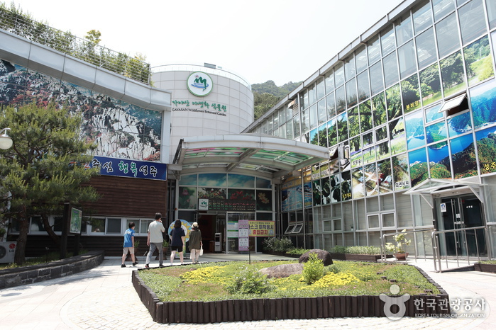 Gayasan Wildflower Botanical Garden (가야산 야생화식물원)
2.8 km from the summit
- Gayasan National Park Nature Center (국립공원 가야산생태탐방원) 3 km from the summit
-
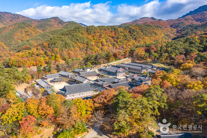 Hapcheon Haeinsa Temple (해인사 (합천))
3.2 km from the summit
-
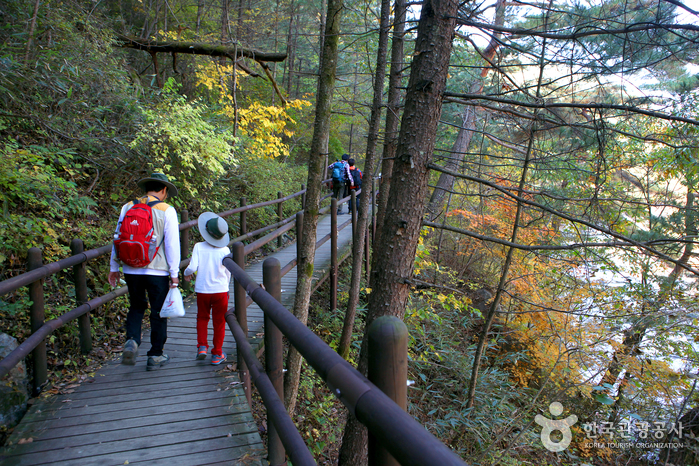 Gayasan Sori-gil (가야산 소리길)
4.6 km from the summit
-
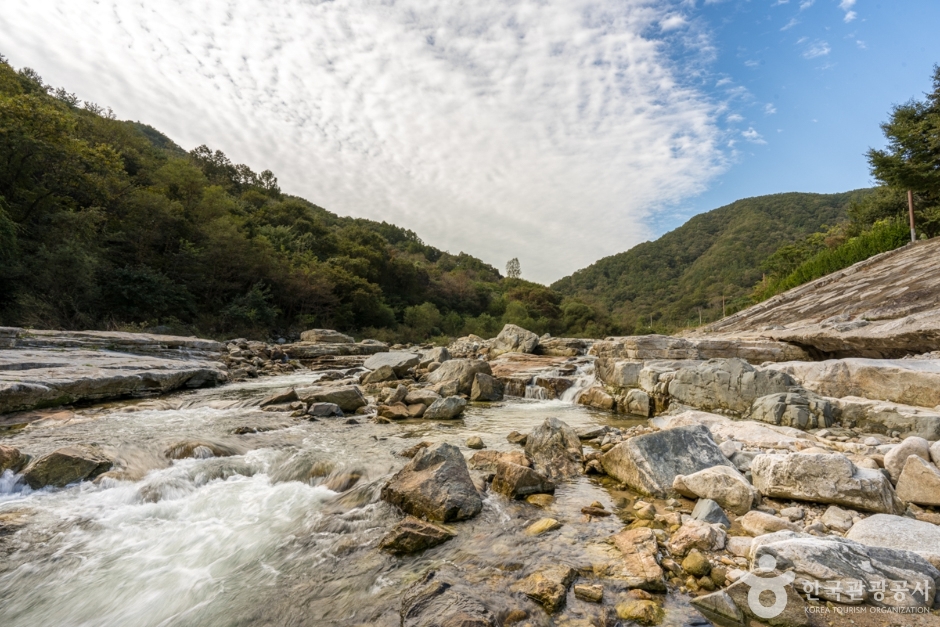 Daegacheongyeogok Valley (Muheulgugok) (대가천계곡(무흘구곡))
7.4 km from the summit
-
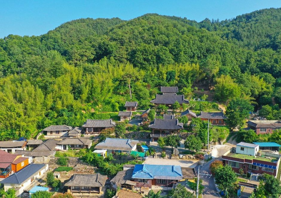 Saudang Head House (사우당 종택)
8.3 km from the summit
Times and difficulty are estimates from GPS tracks. Before you go, check the weather, sunset time and any trail closures. Course tracks recorded: 2022-01-06
Text on this page was translated automatically from Korean public data. Place names follow the Revised Romanization; signs on the trail are in Korean.
Data: Korea Forest Service and Korea Hiking & Trekking Support Center (Public Data Portal). Course times and difficulty are estimates from GPS tracks (2022).