
Gariwangsan 1,562m
Roof of the Taebaek Mountains Rich in Medicinal Herbs
Moderate Hard Spring flowers Autumn foliage Public transport
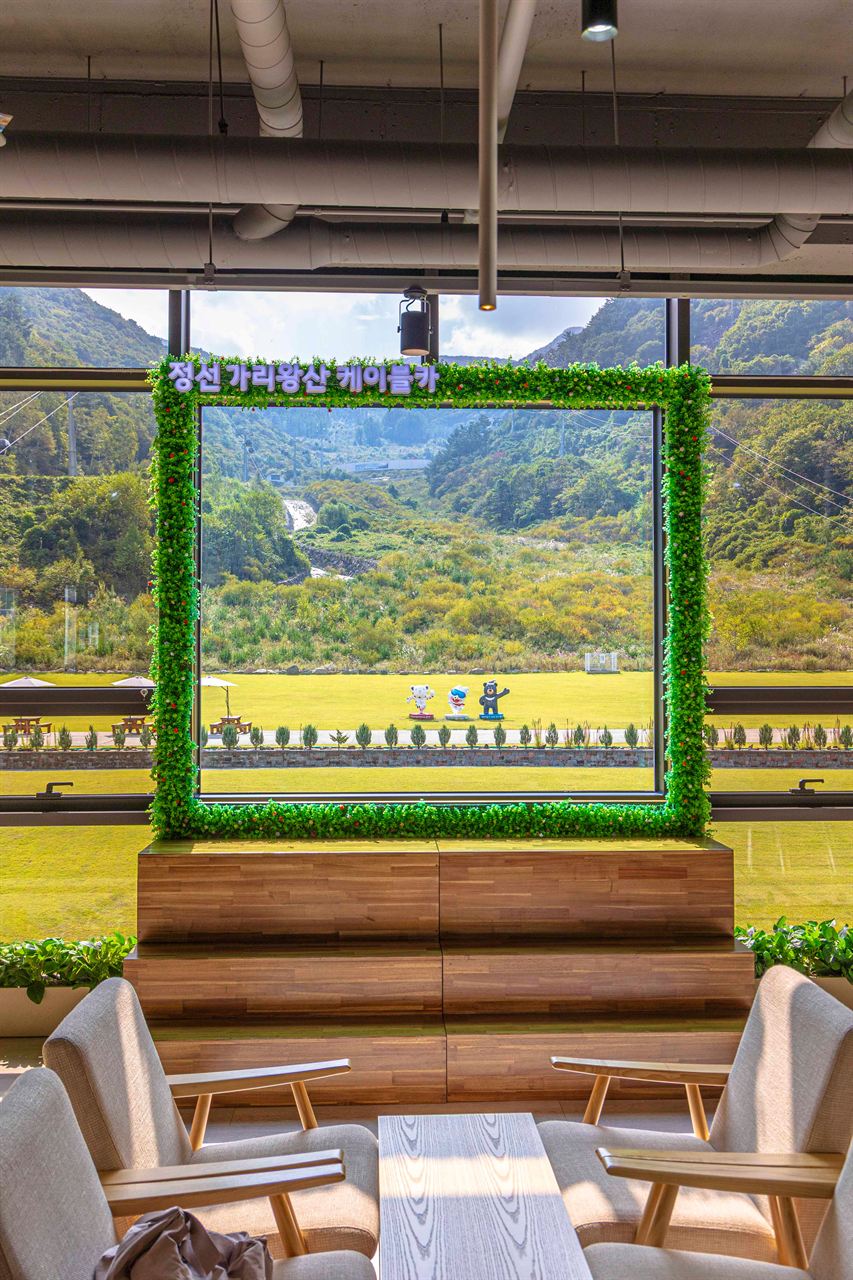
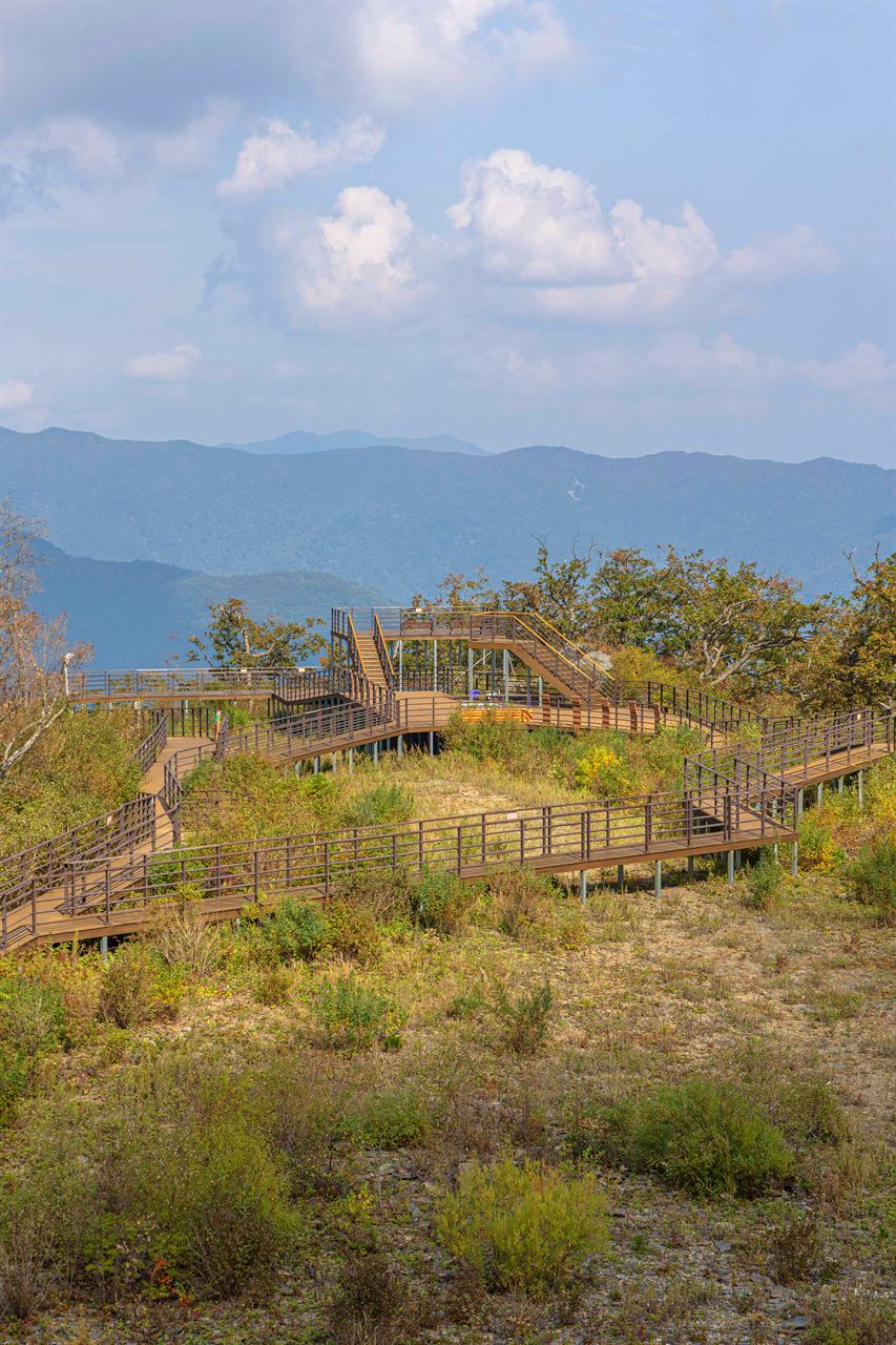
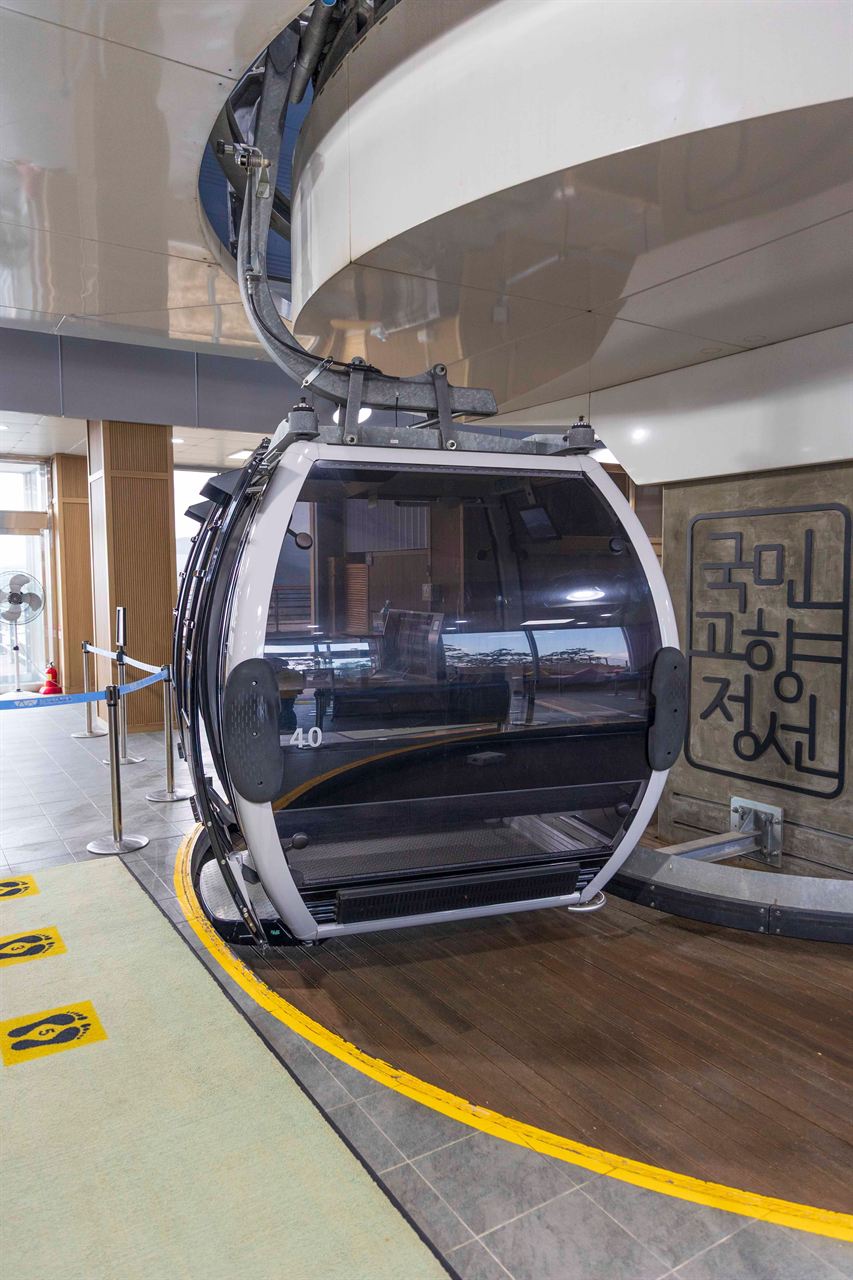
- Location
- Hoedong-ri, Jeongseon-eup and Bukpyeong-myeon, Jeongseon-gun; Jinbu-myeon, Pyeongchang-gun, Gangwon-do
- Courses
- 2 · 4 h 45 min – 5 h 35 min
- Distance
- 9.8 km – 10.8 km
- Managed by
- Jeongseon County Office · 033-562-3911
Trail map
Why it is one of the 100 famous mountains
Selected for its outstanding scenery—famed through the Eight Scenic Views of Gariwangsan—its climax broadleaf forest, and its renown as a nationwide habitat for wild edible greens. Located in the heart of the Baekdudaegan mountain range, it holds great scenic and ecological value with colonies of yew trees, designated as a Forest Genetic Resource Reserve and a Natural Recreation Forest. It is also the headwaters of the Odaecheon and Joyanggang rivers, which flow into the Donggang River, and is known for its limestone joint cave, the Ice Cave. The mountain's name originates from its resemblance to a large 'gari' (a stack of harvested rice or wood).
About Gariwangsan
The Roof of Jeongseon Where Jeongseon Arirang Flows
It is no exaggeration to say that Pyeongchang-gun and Jeongseon-gun in Gangwon-do are defined by rugged high mountain ranges centered around Gariwangsan, which serves as the roof of this region. Gariwangsan, the principal mountain of Jeongseon, was once called Galwangsan because King Gal sought refuge here during a time of upheaval, and came to be called Gariwangsan during the Japanese colonial period.
At Mahangchi Pass, the saddle between Sangbong Peak and Jungwangsan (1,381.4 m) to its west, stands Korea's only stone monument engraved with 'Gangneungbu Samsan Bongpyo' (boundary marker prohibiting ginseng harvesting by the Gangneung Magistrate). This indicates an area where wild ginseng harvesting was prohibited to commoners, revealing that Gariwangsan was a major source of wild ginseng during the Joseon Dynasty. Centered on Sangbong Peak, the massive mountain ridgeline extends gently southeast toward Jungbong Peak (1,436 m) and Habong Peak (1,381.7 m).
Gariwangsan acts as the roof of the Taebaek Mountains and is known for its gentle hiking trails. Along the ridges, various alpine trees such as yews, Korean pines, and maples thrive, along with abundant medicinal herbs such as wild ginseng.
A natural recreation forest with various amenities is established at the entrance of Hoedong-ri, and hiking the trail takes around 6 hours in total. It is designated and planned for development as a county park, and the entrance toward Sugam features a dense 4 km habitat of royal azaleas.
Courses recommended by the Korea Forest Service
- Gariwangsan Natural Recreation Forest → Junction Before Saddle → Saddle → Sangbong Peak Summit 2 h 10 min
Public transport
Jangpyeong (Jangpyeong Intercity Bus Terminal ☎ 033-332-4209) and Jeongseon (Jeongseon Terminal ☎ 033-563-1094) serve as starting points.
At the Baekildong bus terminus in Haanmi 5-ri, Gapyeong Store (☎ 033-332-8622) can provide detailed information before departure.
- Jangpyeong → Haanmi-ri (bound for Gapyeong): Runs 5 times a day
- Jeongseon → Hoedong: Runs 8 times a day
Food, lodging & more (Korea Forest Service data, may change)
Gariwangsan Natural Recreation Forest ☎ 033-562-5833
Gapyeong Herb Jjimjilbang ☎ 033-332-2828
Cheondanggol Mountain Cabin ☎ 033-332-9943
Gariwangsan Tourist Farm ☎ 033-563-6100~1
Inquiries: Jeongseon County Office Tourism & Culture Division ☎ 033-560-2569, Gariwangsan Natural Recreation Forest Management Office ☎ 033-562-5833
Nearby attractions
 Gariwangsan Mountain (가리왕산)
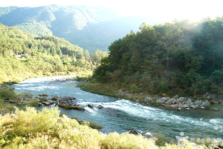 Sugamgyegok Valley (숙암계곡)
 Romyzian Garden (로미지안 가든)
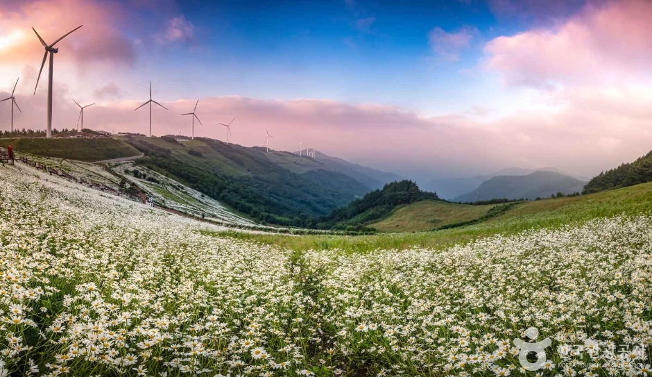 Pyeongchang Yukbaekmajigi (평창 육백마지기)
Times and difficulty are estimates from GPS tracks. Before you go, check the weather, sunset time and any trail closures. Course tracks recorded: 2022-01-06
Text on this page was translated automatically from Korean public data. Place names follow the Revised Romanization; signs on the trail are in Korean.
Data: Korea Forest Service and Korea Hiking & Trekking Support Center (Public Data Portal). Course times and difficulty are estimates from GPS tracks (2022).