
Gamaksan 675m
A Mountain Where the Chivalrous Bandit Im Kkeok-jeong Rested
Easy Moderate Valleys Public transport
- Location
- Jeokseong-myeon, Paju-si; Nam-myeon, Yangju-si; Jeongok-eup, Yeoncheon-gun, Gyeonggi-do
- Courses
- 9 · 2 h 5 min – 4 h 35 min
- Distance
- 5.5 km – 11.1 km
- Facilities
- Toilets 4 · Parking 9
- Managed by
- Paju City Hall · 031-940-4114
Trail map
Why it is one of the 100 famous mountains
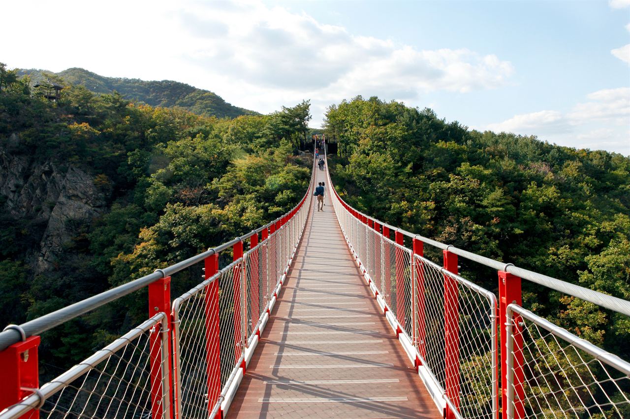
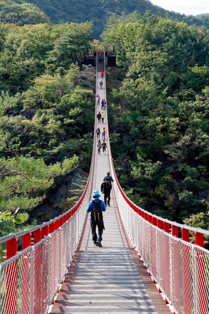
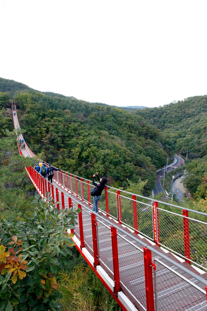
Historically selected as one of the Five Noted Peaks of Gyeonggi (Gyeonggi 5-Ak), Gamaksan harmoniously features waterfalls, valleys, and rock faces, offering excellent views overlooking the Imjingang River and Songaksan in Gaeseong. It houses the abundant Ungye Falls, and at the summit stands the Bbitteul Daewangbi Monument (Paju-gun Local Heritage No. 8), whose eroded text is illegible and is traditionally debated to be either the Xue Rengui Monument or the King Jinheung Border Inspection Stele. Below Janggunbong Peak is Im Kkeok-jeong Cave, where Im Kkeok-jeong hid to evade government troops.
About Gamaksan
Gamaksan spans across Jeokseong-myeon in Paju-si, Nam-myeon in Yangju-gun, and Jeongok-eup in Yeoncheon-gun, Gyeonggi-do. It branches off from Hangangbong Peak along the Hanbugeot-maek Ridge. Traditionally, it has been known as one of the Five Noted Peaks of Gyeonggi (Gyeonggi 5-Ak), along with Songaksan in Gaeseong, Hwaaksan in Gapyeong, Gwanaksan in Gwacheon, and Unaksan in Pocheon, though it was relatively less known to the general public.
Due to its proximity to the Demilitarized Zone, it was restricted from entry for a long time, but regulations have eased somewhat in recent years. However, hiking trails are still limited. The trails open to the summit are primarily accessible via Beomnyunsa Temple, Sinam-ri, and Wondang-ri. It is said there were originally four temples—Gamaksa, Ungyesa, Beomnyunsa, and Unrimsa—but today only Beomnyunsa remains, rebuilt in 1970 on the former site of Ungyesa Temple. Below Janggunbong Peak lies Im Kkeok-jeong Cave, where the Joseon Dynasty folk hero Im Kkeok-jeong is said to have hidden from government forces during the reign of King Myeongjong.
During the Korean War, it was a famous fierce battleground; in Seolma-ri Valley, monuments commemorating British soldiers and the Korean Righteous Corps (Daehan Uiyeoldan) still stand.
Traditionally considered the northern peak among Gyeonggi's Five Noted Peaks, renowned for its strong terrain and complementing the prominence of Samgaksan, this mountain served as a strategic military outpost from the Three Kingdoms Period through the fierce battles of the Korean War. For this reason, the British Monument and the Korean Righteous Corps Monument stand on both sides of Seolmachigok Valley. The name Gamak (Dark Blue Peak) was derived from the dark indigo and bluish colors said to emanate simultaneously from between the rocks.
Additionally, during the reign of King Myeongjong of Joseon, this area served as an intermediate base for Im Kkeok-jeong, who operated from Cheongseokgol in Guwolsan, leaving related place names scattered throughout the mountain. Military installations remain on the summit today, along with the weathered stone monument known as the Bbitteul Daewangbi Monument (or Xue Rengui Monument), similar to the King Jinheung Border Inspection Stele on Bukhansan. This stele still bears bullet marks from the war and is designated as Paju-gun Local Cultural Heritage No. 8. The mountain's topography features a harmony of rocky ridges and small rocky peaks, requiring caution due to occasional cliff areas.
Originally there were four temples—Gamaksa, Ungyesa, Beomnyunsa, and Unrimsa—but today only Beomnyunsa, reconstructed in 1970 on the old site of Ungyesa, remains.
Not far from Seoul, if you head north from Hoecheon in Uijeongbu, pass Nam-myeon in Yangju-si, and go through Seolma-ri into the Gamaksan valley, you will reach Ungye Falls, which drops about 20 meters. Behind the waterfall stands Beomnyunsa Temple, beyond which Gamaksan displays its typical rocky mountain scenery. On a clear day, Songaksan in Gaeseong and Bukhansan can be seen in the distance.
Courses recommended by the Korea Forest Service
- Seolma-ri → Beomnyunsa Temple → Summit → Im Kkeok-jeong-bong Peak → Sinam-ri 3 h 40 min
- Sinam-ri → Sinam Reservoir → Summit → Beomnyunsa Temple → Ungye Falls → Seolma-ri 4 h
Public transport
The starting point is Uijeongbu.
Local Bus No. 25 runs from Uijeongbu to Jeokseong every 15 minutes.
Food, lodging & more (Korea Forest Service data, may change)
● Food, Lodging, and Other Info
Lodging facilities are available near Beomnyunsa Temple and Ungye Falls:
Daeseong Inn ☎031-959-3551
Seungwonjang ☎031-959-4085
Suseong Inn ☎031-959-4343
Gamak Park ☎031-959-4071, etc.
● Inquiries
Paju City Hall Forestry Division ☎031-940-4621
Nearby attractions
Times and difficulty are estimates from GPS tracks. Before you go, check the weather, sunset time and any trail closures. Course tracks recorded: 2022-01-06
Text on this page was translated automatically from Korean public data. Place names follow the Revised Romanization; signs on the trail are in Korean.
Data: Korea Forest Service and Korea Hiking & Trekking Support Center (Public Data Portal). Course times and difficulty are estimates from GPS tracks (2022).