
Gajisan 1,241m
Highest Peak of the Yeongnam Alps
Moderate Hard Valleys Silver grass Public transport


- Location
- Ulju-gun, Ulsan; Cheongdo-gun, Gyeongsangbuk-do; Miryang-si, Gyeongsangnam-do
- Courses
- 4 · 4 h 50 min – 6 h 5 min
- Distance
- 9.1 km – 14.2 km
- Facilities
- Toilets 7 · Parking 3
- Managed by
- Ulju County Office · 052-229-7000
Trail map
Why it is one of the 100 famous mountains
Designated as a provincial park in 1979 as the highest mountain in the Yeongnam Alps at the heart of the southern end of the Baekdudaegan ridge. Selected for its abundant waterfalls, beautiful pools, Eoreumgol Valley (Natural Monument No. 224), and Seongnamsa Temple, which houses the Octagonal Cloud-patterned Stupa of Master Doui (Treasure No. 369). The ridges feature rocky peaks harmonized with silver grass fields, scenic vistas, a natural recreation forest, and Gajisan serves as the headwaters for Sannaecheon and Mujeokcheon streams, both tributaries of the Miryanggang River.
About Gajisan
The Yeongnam Alps, named by mountaineers from Busan, is a collective term for mountains over 1,000 meters in the lower section of the Nakdongjeongmaek Ridge. Connected along high-peak ridges in a mirrored "下"-shape mountain range, individual peaks do not particularly stand out on their own.
This is partly because the elevation difference between the ridge cols and the summits is relatively small. Also, when viewed from the open plains to the east, the main peaks do not jut forward but recede toward the back. Thus, except for Yeongchwisan at the southernmost end, they mostly appear as parts of a massive high wall undulating only slightly.
Gajisan, despite being the highest peak, is merely one of many. Moreover, its character is somewhat obscured because it sits at a three-way ridge intersection, much like Neungdongsan. Although designated as a provincial park, both of the only two mountain paths on the northern Cheongdo side are currently closed.
Courses recommended by the Korea Forest Service
- Seongnamsa Temple → Seongnam Valley → Ssalbawi Rock → Summit → Southwest Ridge → 1080 Peak → Ridge 3-way Intersection → 812 Peak → Baekyeon Falls → Ticket Office 5 h
- Unmunjae Pass → Gwibawi Rock → Sangunsan → Ssalbawi Rock → Summit → Miryang Pass → Hobakso Valley → Ticket Office 4 h
- Buldang Village → Northeast Ridge → Gwibawi Rock → Sangunsan → Ssalbawi Rock → Summit → Seongnamnyeong Pass → Soejeomgol → Hobakso → Ticket Office 6 h 5 min
Public transport
Eonyang is the starting point. From Eonyang, take bus No. 328 or 807 to Seongnamsa Temple (runs every 20 minutes). Buses to Eonyang run every 15 minutes from Ulsan and every 20 minutes from Busan. For Hobakso, take one of the 10 daily direct buses bound for Miryang from Seongnamsa Temple and ask the driver to stop, or get off at Nammyeong-ri.
Food, lodging & more (Korea Forest Service data, may change)
● Food, Lodging and Other Info
Near Seongnamsa Temple, there are many accommodations and a food village serving duck bulgogi and sanchae bibimbap (wild vegetable bibimbap).
Ulsan Garden (Tel: 052-254-0077)
Park Motel (Tel: 052-247-3030)
New Prince Yeogwan (Tel: 052-264-9190)
● Inquiries
Gajisan Provincial Park Management Office Tel: 055-356-1915
Nearby attractions
-
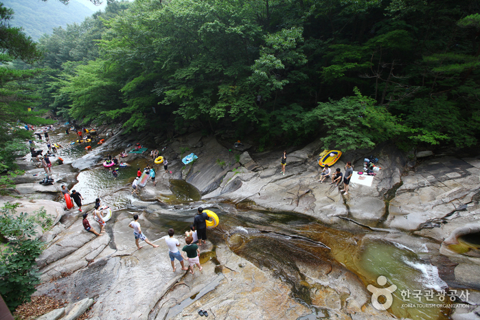 Hobaksogyegok Valley (호박소계곡)
2.9 km from the summit
-
 Unmunsan National Recreational Forest (국립 운문산자연휴양림)
3.7 km from the summit
-
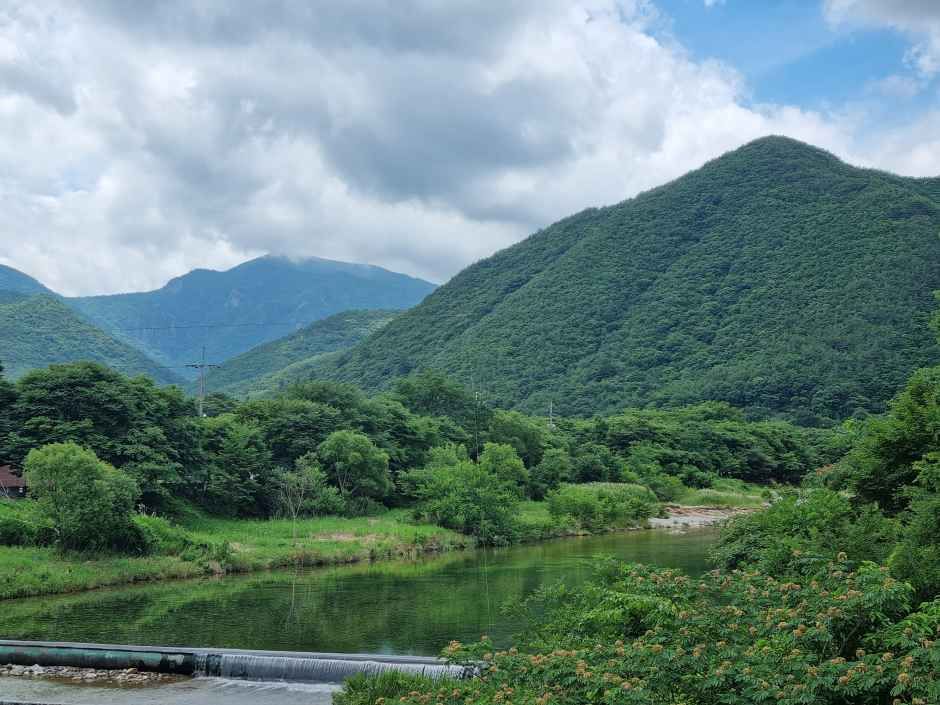 Unmunsan County Park (운문산군립공원)
4 km from the summit
- Seokgolsa Temple (석골사) 6.9 km from the summit
-
 Ganwolsan Recreation Forest (간월산 자연휴양림)
7.5 km from the summit
-
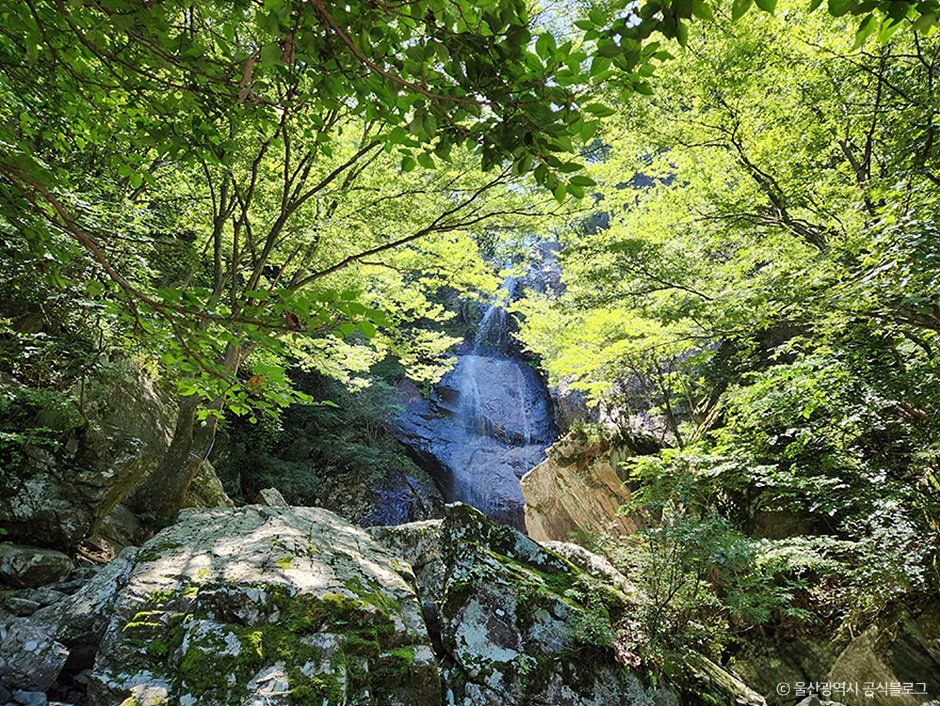 Sinbulsan County Park (신불산군립공원)
8.2 km from the summit
Times and difficulty are estimates from GPS tracks. Before you go, check the weather, sunset time and any trail closures. Course tracks recorded: 2022-01-06
Text on this page was translated automatically from Korean public data. Place names follow the Revised Romanization; signs on the trail are in Korean.
Data: Korea Forest Service and Korea Hiking & Trekking Support Center (Public Data Portal). Course times and difficulty are estimates from GPS tracks (2022).