
Daeamsan 1,313m
Hard Valleys Sea views Public transport


- Location
- Dong-myeon, Yanggu-gun and Seohwa-myeon, Inje-gun, Gangwon-do
- Courses
- 1 · 7 h 15 min – 7 h 15 min
- Distance
- 28.7 km – 28.7 km
- Managed by
- Inje County Office · 033-461-2122
Trail map
Why it is one of the 100 famous mountains
Selected because it is close to the Demilitarized Zone, with rare wildlife and near-primeval forests well preserved, leading to its designation and management as a Natural Reserve (Natural Monument No. 246) in 1973 as Korea's premier repository of rare biological resources. The summit area features a vast grassland-like meadow of over 9,000 pyeong containing the high-altitude wetlands of Keun Yongneup and Jageun Yongneup. The surrounding terrain resembles a punch bowl and is famously known as the Haean Basin (Punch Bowl).
About Daeamsan
Well known for its high moors, Daeamsan has basin-shaped wetlands near the summit called Keun Yongneup and Jageun Yongneup. Measuring roughly 150 meters east-west and 100 meters north-south, this irregularly shaped wetland forms a gentle slope from northwest to southeast. Holding high academic value, 47 species of plankton were collected in this high moor between May 1968 and August 1969 by Kim Doo-young (currently working at Gangwon-do Student Science Museum). Daeamsan is also a treasure trove of biological resources with 123 plant species across 59 families, including 19 species unique to high moors and 15 unrecorded species. On July 10, 1973, it was designated as a Natural Monument Protection Area alongside nearby Daeusan. Daeamsan summit is a restricted area, and general hiking is only permitted on the ridge course to the southwest of the summit starting from the Ecological Botanical Garden.
Near the summit of Daeamsan are the highland moors known as Keun Yongneup and Jageun Yongneup, although Jageun Yongneup has already lost its original form and turned into forest. Keun Yongneup is Korea's only highland moor, maintaining a unique environment with frequent foggy days throughout the year, offering valuable material for ecosystem research.
Keun Yongneup features plant colonies such as sphagnum moss, Carex meyeriana, Spiraea salicifolia, and Geranium dahuricum, as well as rare plants like Gymnadenia conopsea, Gentiana jamesii, and sundews. In addition, 63 species of phytoplankton, 19 species of diatoms, and Natural Monuments such as the long-tailed goral and golden eagle have been observed here, along with salamanders, oriental fire-bellied toads, and striped white butterflies. In the connected Dutayeon Valley, about 10 endemic fish species, including lenok, thrive.
The Daeamsan and Daeusan Natural Monument Protection Area has diverse topographical characteristics such as basins and moors, with rare fauna and flora supported by its unique climatic conditions. Furthermore, it holds immense research value in plant ecology, phytogeography, and plant taxonomy as it marks the northern and southern distribution limits as well as east-west divisions for various species. Its rich wildlife, distinct topography, and climatic traits give it extraordinary academic value, leading to its designation and protection as a Natural Monument.
Courses recommended by the Korea Forest Service
- Gwangchi Recreational Forest → Ongnyeo Falls → Gwangchi Recreational Forest 2 h 30 min
- Gwangchi Recreational Forest → Ongnyeo Falls → Ongnyeo Three-way Junction → Hugok Mineral Spring 3 h 30 min
- Gwangchi Recreational Forest → Ongnyeo Falls → Solbong Peak → Ecological Botanical Garden 4 h 30 min
Public transport
The starting hub is Yanggu. > Yanggu → Pallyang-ri: Intercity bus runs every 30 minutes.
Food, lodging & more (Korea Forest Service data, may change)
● Lodging and Other Info
There are a few guesthouses near the entrance to Pallyang Falls and Hugok Mineral Spring.
Sangol Nageune (Tel: 033-481-3975), Haean Minbak (Tel: 033-481-0664), Dongbu Yeogwan (Tel: 033-481-0687), etc.
● Inquiries
Yanggu County Office Tourism and Culture Division: 033-480-2251
Nearby attractions
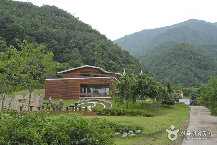 Yanggu Eco-Botanical Garden (양구생태식물원)
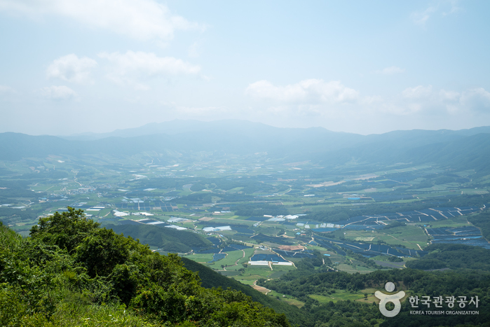 Eulji Observatory (을지전망대)
Times and difficulty are estimates from GPS tracks. Before you go, check the weather, sunset time and any trail closures. Course tracks recorded: 2022-01-06
Text on this page was translated automatically from Korean public data. Place names follow the Revised Romanization; signs on the trail are in Korean.
Data: Korea Forest Service and Korea Hiking & Trekking Support Center (Public Data Portal). Course times and difficulty are estimates from GPS tracks (2022).