
Chungnyeongsan 887m
Namibawi Rock, where General Nami cultivated his mind and body
Easy Moderate Valleys Public transport
- Location
- Sang-myeon, Gapyeong-gun and Sudong-myeon, Namyangju-si, Gyeonggi-do
- Courses
- 4 · 50 min – 4 h 45 min
- Distance
- 1.3 km – 8.8 km
- Facilities
- Toilets 10 · Parking 12
- Managed by
- Gapyeong County Office · 031-580-2114
Trail map
Why it is one of the 100 famous mountains
Selected for its dense mature forests of pine and Korean pine, dramatic cliffs, and outstanding panoramic views from the summit overlooking Unaksan, Myeongjisan, and Hwaaksan to the north, and Cheongpyeongho Lake to the southeast. It is also famous for the Chungnyeong Korean Pine Forest (one of Gapyeong's 8 scenic views), as well as Namibawi Rock and Suribawi Rock tied to legends of General Nami. A natural recreation forest is located here.
About Chungnyeongsan
Passing Maseok along the Gyeongchun Highway and crossing Saeteogogae Pass, the Bukhangang River appears like a forgotten legend. Soon comes Daeseong-ri, featured in Jeong Tae-choon's song 'In Daeseong-ri,' and just before crossing the county border, a fairly large stream is crossed. This is Sudongcheon Stream, known as the Sudong Resort Area.
Located between this Sudongcheon Stream and Jojongcheon Stream in Gapyeong, Chungnyeongsan was long unknown because it was not visible from the national highway and transport was inconvenient. Then, starting in the 1980s, hikers from groups like the Democratic Mountaineering Club who sought quiet, uncrowded places began to visit frequently.
Entering Sudong Valley, Chungnyeongsan stands out impressively above the earthen mountain ridges, as its summit is formed of rock. Thus, it offers the thrilling appeal of rocky ridge hiking along with great panoramic summit views. A panorama of nearly all the mountains in central-northern Gyeonggi, along with Samgaksan and Dobongsan, unfolds.
The original name was Biryeongsan. Written in Idu script where the character for 'pray' (chuk) was meant to be read by its native Korean meaning, it mistakenly became known as Chungnyeongsan since the Japanese colonial period. The place name Biryeong still remains to the northeast and east of the summit.
Located 12km northeast of Hwado-eup (Maseok), Chungnyeongsan (887.1m) rises between Jojongcheon Stream and Sudongcheon Stream. The mountain features a rock called 'Namibawi Rock,' named so because General Nami of the Joseon Dynasty is said to have trained his mind and body here.
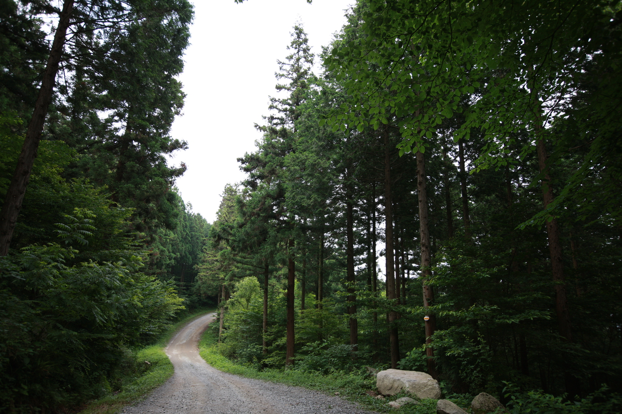
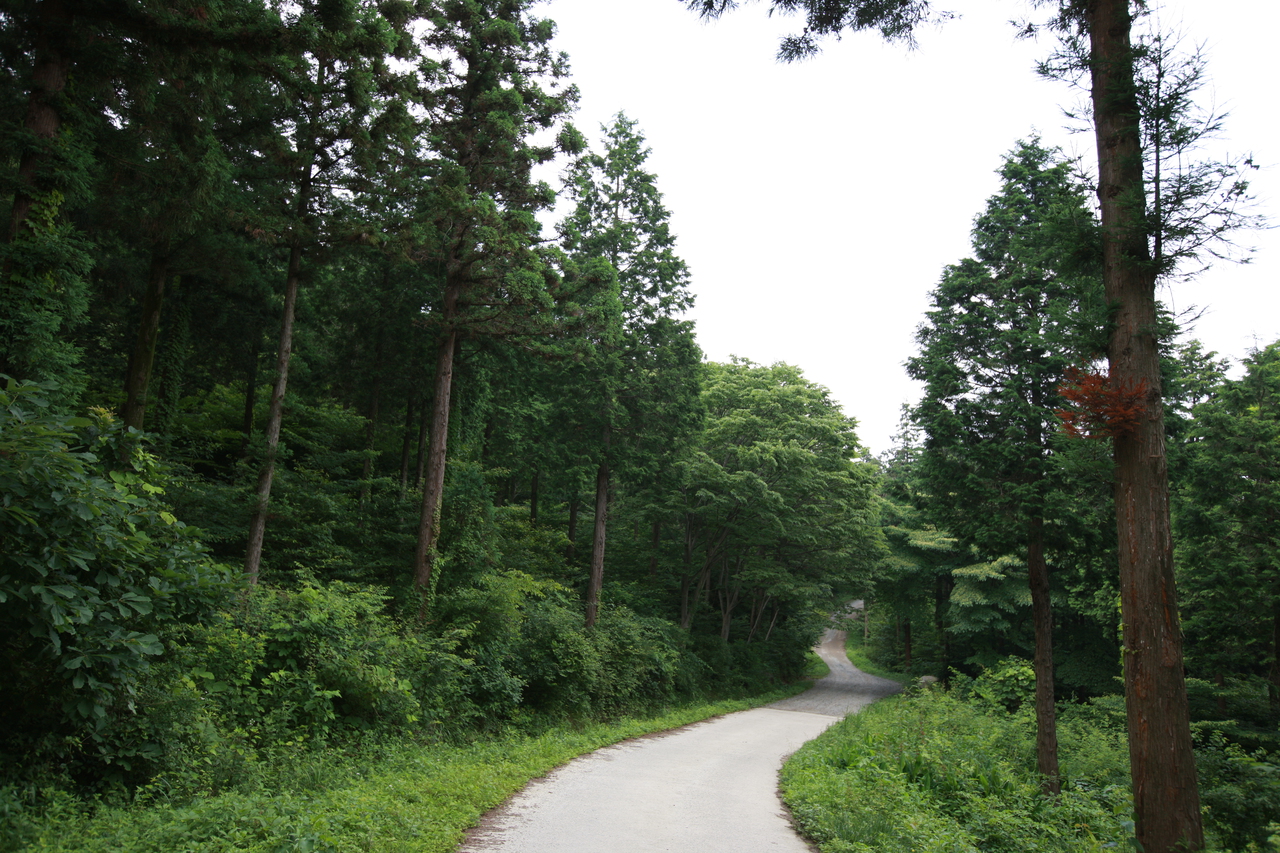
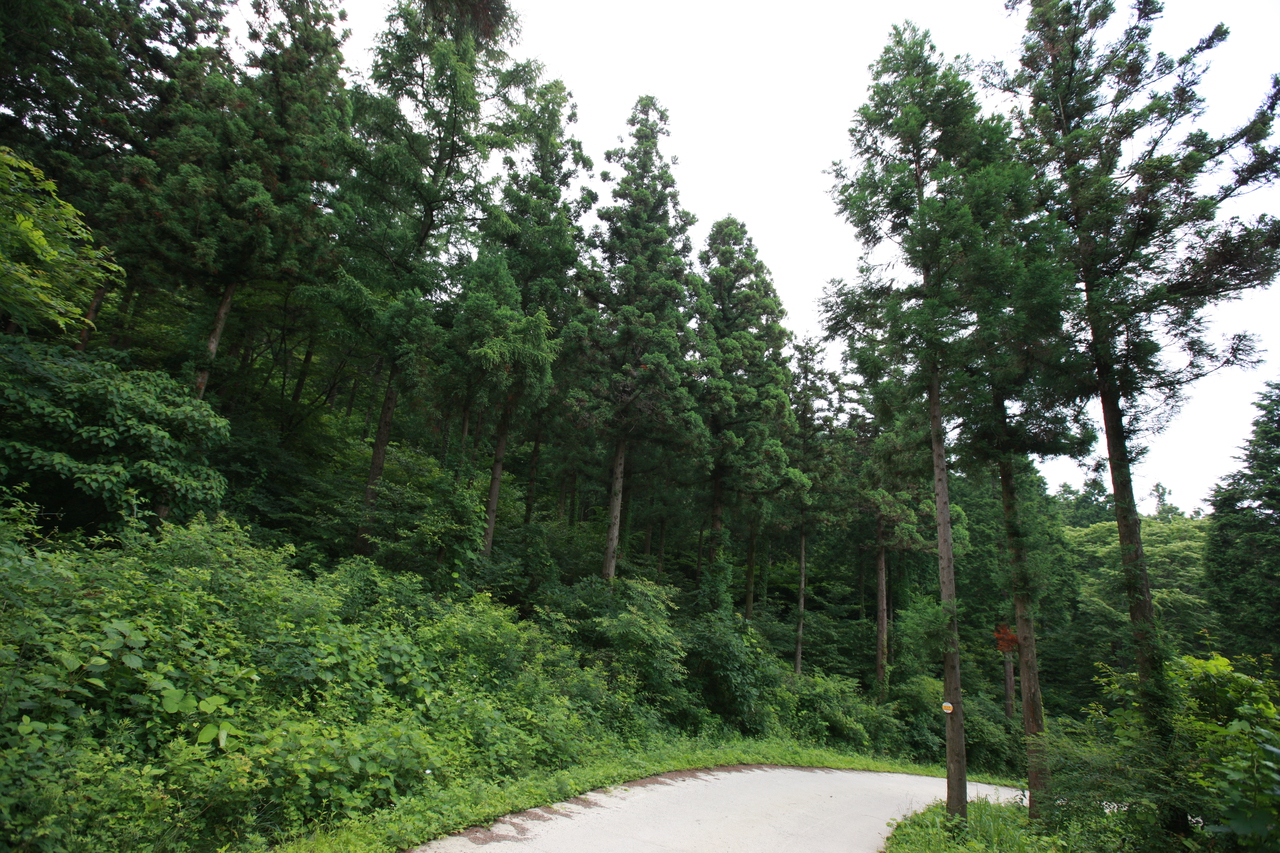
Utilizing the dense forest and valleys of Chungnyeongsan, a natural recreation forest has been established, equipped with various amenities such as forest bathing areas, rest areas, athletic facilities, play facilities, and campgrounds.
Courses recommended by the Korea Forest Service
- Dangjae Village → Pine Nut Warehouse → Summit → Jeolgogae Pass → Namibawi Rock → Suribawi Rock → Ticket Office 3 h 40 min
- Sureneomigogae Pass → Namibawi Rock → Summit → Jeolgogae Pass → Seorisan → Jilmajae Pass → Ticket Office 3 h 5 min
- Ticket Office → Jilmajae Pass → Seorisan → Jeolgogae Pass → Summit → Northeast Ridge → 287 Peak Ridge → Biryeongi 3 h 10 min
Public transport
Express buses bound for Maseok run every 5 minutes from in front of Joryeong Pharmacy near Cheongnyangni and Exit 7 of Jamsil Station.
Gyeongchun Line trains run 7 times daily at one-hour intervals. Buses from Maseok to Chungnyeongsan Natural Recreation Forest run 10 times a day.
Food, lodging & more (Korea Forest Service data, may change)
● Lodging and other information
Rent a log cabin or pitch a tent at Chungnyeongsan Natural Recreation Forest. Log cabins require advance reservations. Management Office ☎031-592-0681
● Inquiries
Chungnyeongsan Natural Recreation Forest Management Office ☎031-592-0681
Nearby attractions
-
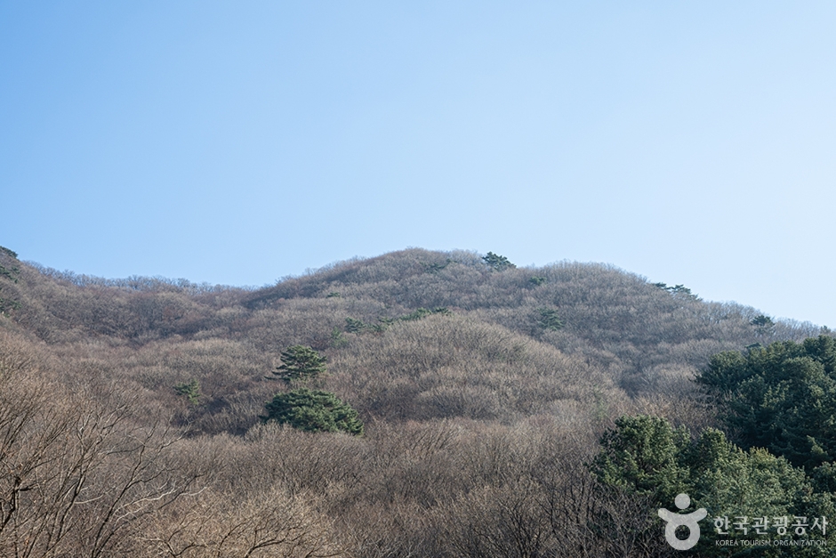 Chungnyeongsan Mountain (축령산)
1.8 km from the summit
-
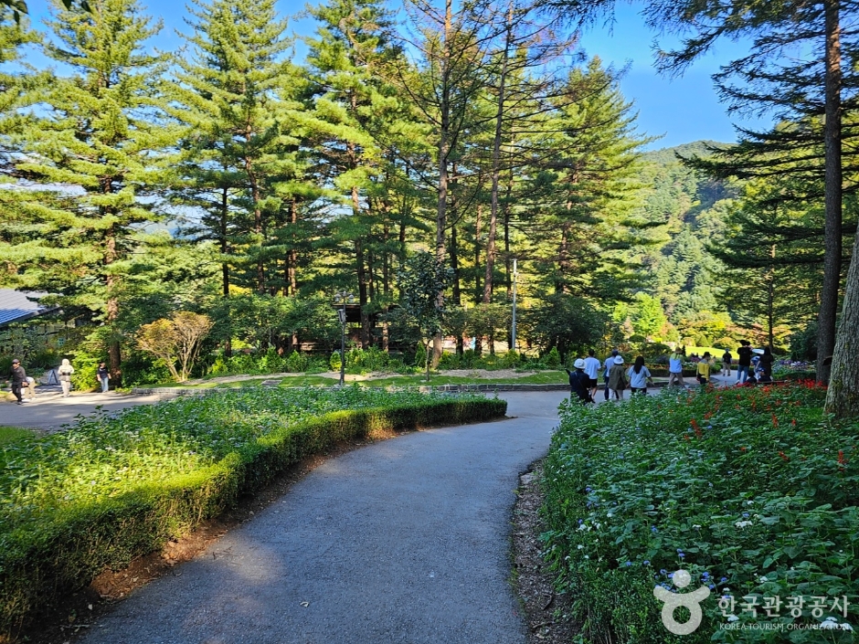 The Garden of Morning Calm (아침고요수목원)
1.9 km from the summit
-
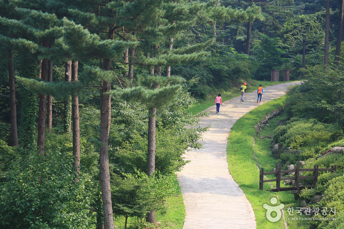 Jatyanggi Purunsup Resort (잣향기푸른숲)
2 km from the summit
-
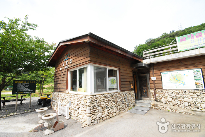 Cheongpyeong Recreational Forest (청평자연휴양림)
7.7 km from the summit
-
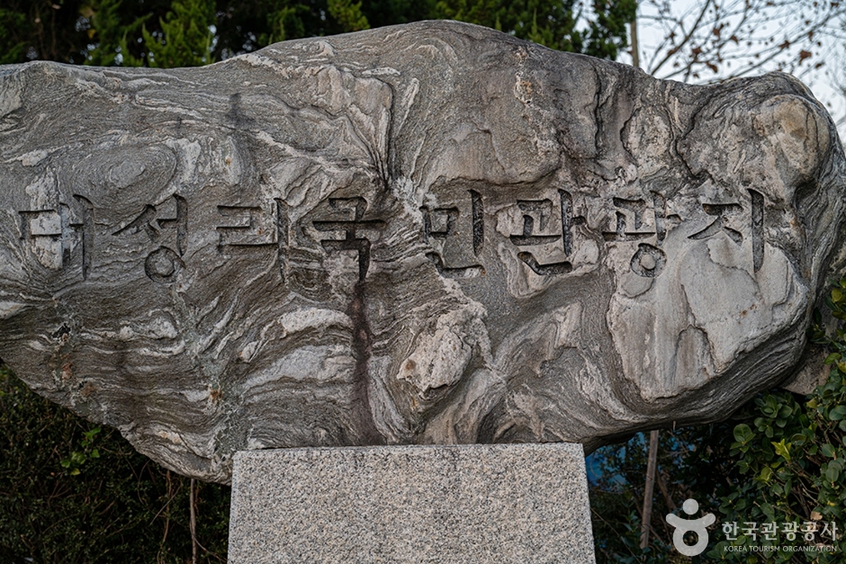 Daeseong-ri National Tourist Site (대성리 국민관광지)
9 km from the summit
- Jojongcheongyegok Valley (조종천계곡) 9.4 km from the summit
Times and difficulty are estimates from GPS tracks. Before you go, check the weather, sunset time and any trail closures. Course tracks recorded: 2022-01-06
Text on this page was translated automatically from Korean public data. Place names follow the Revised Romanization; signs on the trail are in Korean.
Data: Korea Forest Service and Korea Hiking & Trekking Support Center (Public Data Portal). Course times and difficulty are estimates from GPS tracks (2022).