
Cheonmasan 810m
As a Ski Resort and Youth Training Center
Moderate Hard Autumn foliage Snow scenery Public transport

- Location
- Onam-eup and Hwado-eup, Namyangju-si, Gyeonggi-do
- Courses
- 7 · 3 h – 4 h 35 min
- Distance
- 6.4 km – 10.7 km
- Facilities
- Toilets 12 · Parking 13
- Managed by
- Namyangju City Hall · 031-590-2114
Trail map
Why it is one of the 100 famous mountains
Selected for its unique topography where ridges radiate in all directions from the peak, allowing views of the summit from almost anywhere, and for its rich flora making it a well-known destination for plant observation hikes. Cheonmasan Ski Resort is located on the southern side of the mountain.
About Cheonmasan
Cheonmasan is a prominent mountain with an impressive landscape rising high into the sky. When viewed while traveling toward Seoul along the Gyeongchun National Road or along the Bukhangang riverside road in Seojong-myeon, Yangpyeong, it truly stands out above all else. Although apartment complexes have filled the foothills around Pyeongnae, Maseok, and Onam-ri, reducing its secluded feel, its natural beauty holds its ground against any mountain. Passing through here, Yi Seong-gye once recited: "Wherever I go, green mountains are many, but that one looks like a ceremonial scepter inserted into the blue sky. If my hand were just three feet longer, I could touch the sky from that tip (手長三尺可摩天)." This poem gave rise to the lofty name Cheonmasan (meaning 'mountain high enough to touch the sky').
While the summit area is rocky, the lower slopes are earthen, offering lush greenery in spring and beautiful autumn foliage—splendid enough to be called "magnificent sorrow." It receives enough snow to host a ski resort, making the winter snowscapes well worth seeing. Moreover, its vegetation is diverse enough to support northern plant species such as Isopyrum manshuricum.
Near the entrance to the Cheonmasan Training Center in Hwado-eup, there is a fine fir forest. Ancient pine trees drape gracefully over the rocky ridge at the summit, creating an unforgettable vista.
Located 4.5 km northwest of Maseok, it was designated a county park in 1983 and attracts many visitors on holidays.
It features facilities such as a ski resort and youth training centers. With gentle slopes and dense forests, it makes an ideal day-hike course. Since November 1, 1990, cooking has been prohibited in areas outside the designated campsites.
Courses recommended by the Korea Forest Service
- Gagok Elementary School → East Ridge → Summit → Gwaerarigogae Pass → Bogwangsa Temple - Gagok Elementary School 4 h 10 min
Public transport
Buses bound for Maseok are countless from Cheongnyangni. You can also use the Gyeongchun Line train, which runs at one-hour intervals.
Food, lodging & more (Korea Forest Service data, may change)
● Food, Lodging & Other Info
You can use the Cheonmasan Youth Training Center (☎ 031-593-1060) in Mukhyeon-ri.
● Inquiries
Namyangju City Hall Urban Planning Bureau, Parks and Greenery Division ☎ 031-590-2733
Nearby attractions
-
 Namyangju Sareung Royal Tomb [UNESCO World Heritage] (남양주 사릉(정순왕후) [유네스코 세계문화유산])
7.7 km from the summit
-
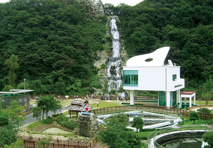 Hwado Pureunmul Center Pianopokpo Falls (화도푸른물센터 피아노폭포)
8.3 km from the summit
-
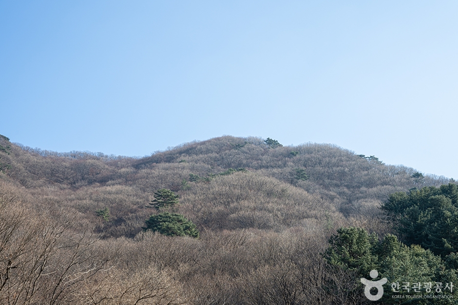 Chungnyeongsan Mountain (축령산)
9 km from the summit
-
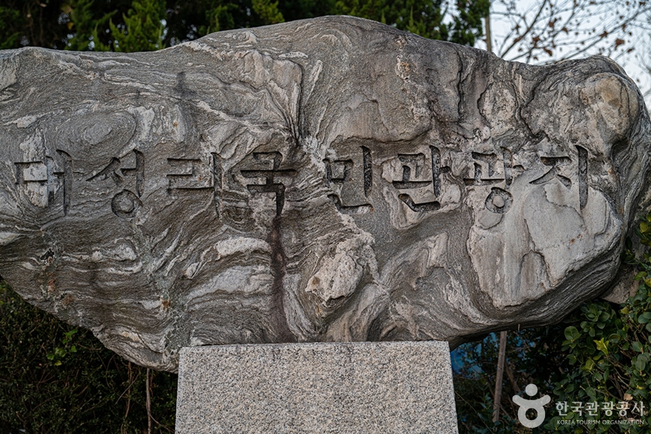 Daeseong-ri National Tourist Site (대성리 국민관광지)
9.4 km from the summit
-
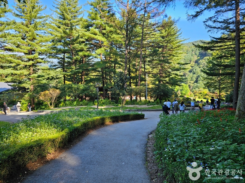 The Garden of Morning Calm (아침고요수목원)
10 km from the summit
Times and difficulty are estimates from GPS tracks. Before you go, check the weather, sunset time and any trail closures. Course tracks recorded: 2022-01-06
Text on this page was translated automatically from Korean public data. Place names follow the Revised Romanization; signs on the trail are in Korean.
Data: Korea Forest Service and Korea Hiking & Trekking Support Center (Public Data Portal). Course times and difficulty are estimates from GPS tracks (2022).