
Cheongwansan 724m
A mountain piercing the sky
Easy Moderate Silver grass Public transport
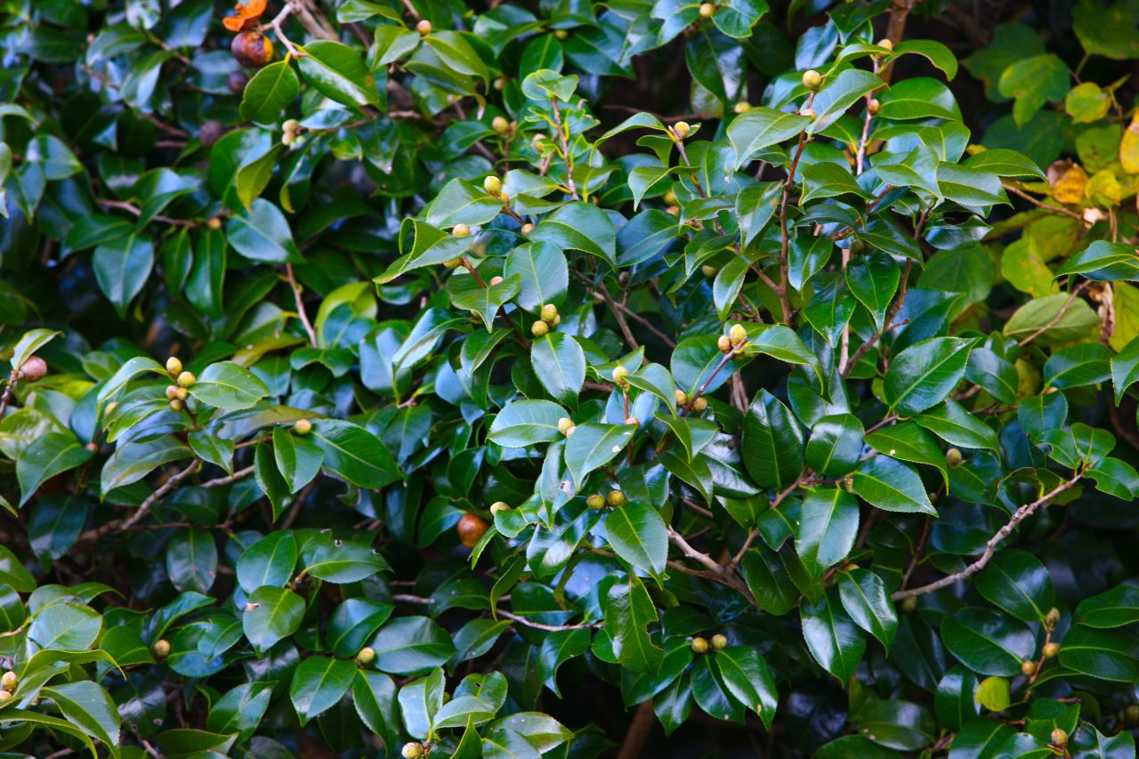
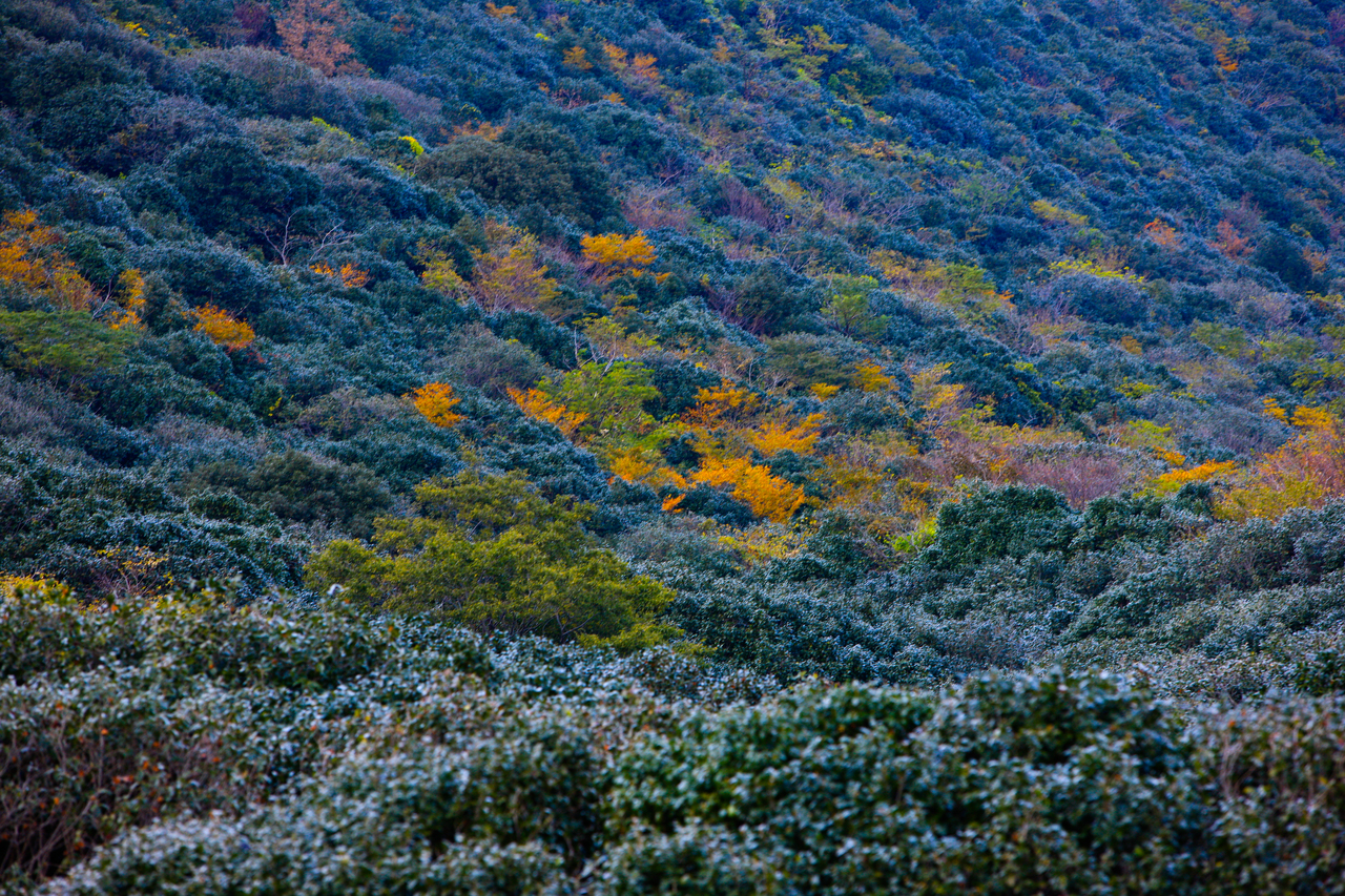
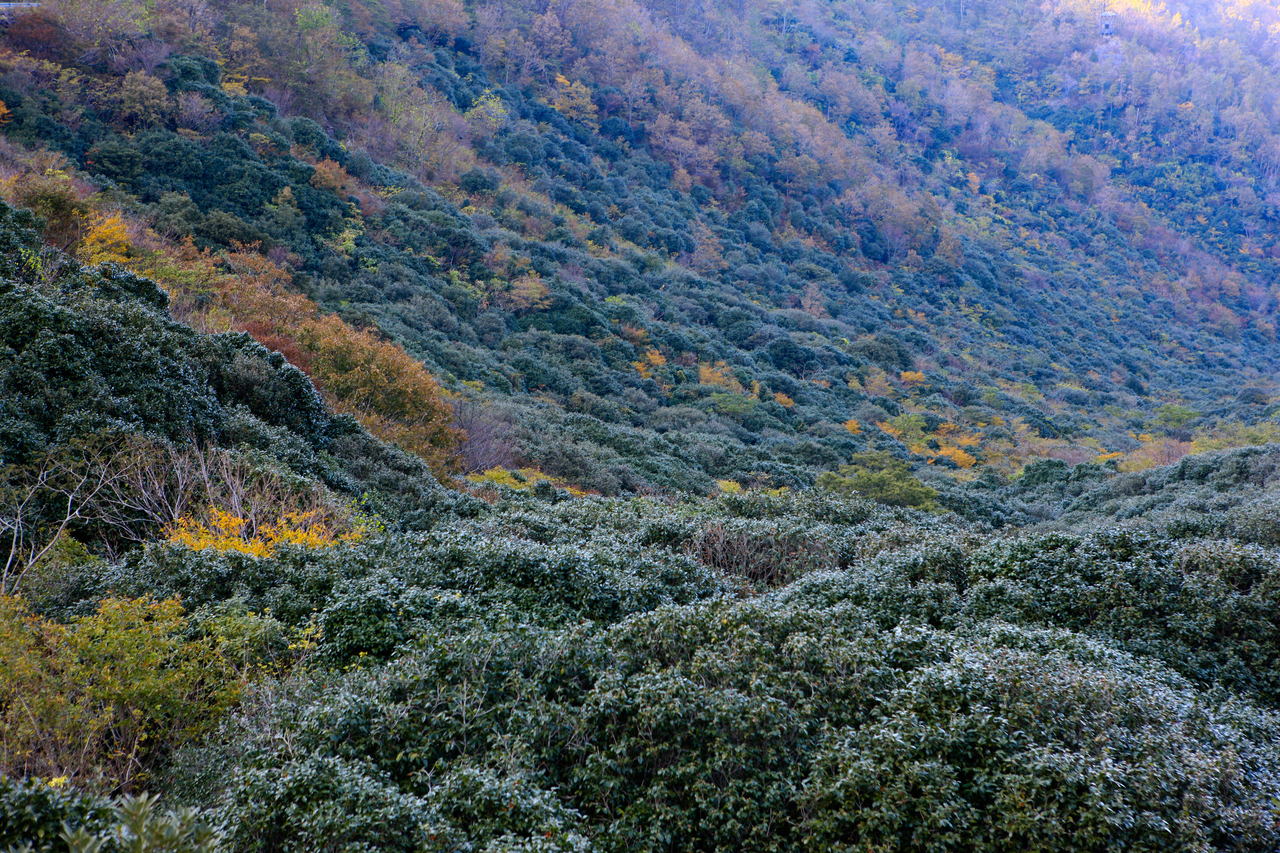
- Location
- Gwansan-eup and Daedeok-eup, Jangheung-gun, Jeollanam-do
- Courses
- 6 · 2 h 50 min – 5 h
- Distance
- 6 km – 11.9 km
- Facilities
- Toilets 11 · Parking 9
- Managed by
- Jangheung-gun Office · 061-863-7071
Trail map
Why it is one of the 100 famous mountains
Selected for its magnificent scenery and commanding viewpoints, ranking among the five celebrated mountains of Honam, and its designation as a Provincial Park in 1998. It is also famous for Cheongwansa Temple founded during the Silla period, its camellia forest, and a natural recreation forest.
About Cheongwansan
The mountain resembles a chicken coop woven from bush clover stems. Looking at the mountain's structure based on the 400-meter contour line, there are as many as twenty such ridges radiating out like wicker spokes. Together, they form a gigantic dome that overwhelms onlookers.
It is renowned for its silver grass, enough to hold a Silver Grass Festival on the first weekend of October. This is likely because the sea winds prevent trees from growing tall. Even though it is concentrated only on the main ridge between the main summit Yeondaebong Peak and Hwanhuidae, crowds gather from all over the country.
When visiting by land, Gwansan-eup serves as the trailhead, so it is often recognized as Gwansan's mountain, but originally it likely shared closer ties with Hoejin in Daedeok-eup. This is because it was also called Cheonpungsan, meaning the mountain of west winds.
This port at the tip of the Jangheung Peninsula has been an important stronghold along southern sea routes since ancient times. King Geunchogo of Baekje is believed to have met here with allied troops to conclude their campaign when occupying the Jeollanam-do region, thus giving rise to the name meaning "meeting port." Later, as Gwansan grew, the name was likely changed to Cheongwansan after the rocks along the summit ridge resembling a traditional gat hat.
Composed of rugged rocks with peaks piercing the sky, Cheongwansan is counted among the five celebrated mountains of the Honam region alongside Jirisan, Wolchulsan, Naejangsan, and Naebyeonsan.
Dozens of uniquely shaped rocks and craggy peaks—such as Agibawi, Sajabawi, Jongbong, Cheonjubong, Gwaneumbong, Seonjaebong, Daesebong, Seokseonbong, Dotdaebong, Guryong, Galdaebong, Dokseongam, and Ayuktap—protrude dramatically near the summit. It is said to have been named Cheongwansan because its appearance resembles the jade-adorned royal headdress (Cheongwan) of an emperor.
Courses recommended by the Korea Forest Service
- Jangcheonjae → Yanggeunam Rock → Jeongwonam Rock → Yeondaebong Peak → Hwanhuidae → Gujeongbong Peak → Cheongwansa Temple 2 h 35 min
- Cheongwansan Natural Recreation Forest → Jijangbong Peak → Hwanhuidae → Yeondaebong Peak → Udubong Peak → Sangchon 2 h 55 min
- Jangcheonjae → Geumsugul Cave → Helipad → Yeondaebong Peak → Helipad → Hwanhuidae → Tapsansa Temple 3 h
Public transport
The starting point is Jangheung. Buses bound for Hoejin via Gwansan run at 30-minute intervals. Express buses to Jangheung run 4 times a day from Seoul Gangnam Terminal. Since direct buses are scarce, another option is to travel to Gwangju first and transfer. There are 57 buses from Gwangju to Jangheung. From Busan to Jangheung there are 20 departures, from Yeosu 38 (via Suncheon), and from Mokpo 29.
Food, lodging & more (Korea Forest Service data, may change)
● Food, Lodging, and Other Info
There are three inns in Gwansan-eup: Cheongwan Motel ☎ 061-867-3111, Royaljang ☎ 061-867-3336, Bandojang ☎ 061-867-8080.
Camping at Cheongwansan Natural Recreation Forest is also an option. ☎ 061-867-6974
● Inquiries
Jangheung-gun Office Environment and Forest Division Greens Section ☎ 061-860-0422
Nearby attractions
 Cheongwansan National Recreational Forest (국립 천관산자연휴양림)
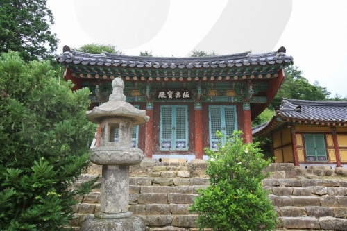 Jangheung Cheongwansa Temple (천관사(장흥))
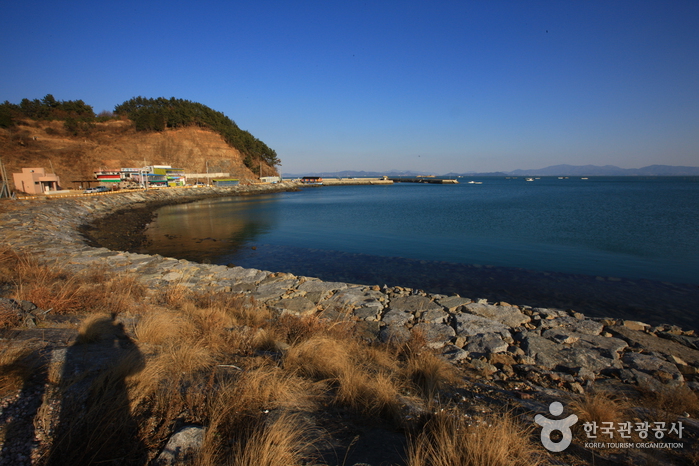 Jangheung Jeongnamjin (정남진(장흥))
Times and difficulty are estimates from GPS tracks. Before you go, check the weather, sunset time and any trail closures. Course tracks recorded: 2022-01-06
Text on this page was translated automatically from Korean public data. Place names follow the Revised Romanization; signs on the trail are in Korean.
Data: Korea Forest Service and Korea Hiking & Trekking Support Center (Public Data Portal). Course times and difficulty are estimates from GPS tracks (2022).